
The regional development targets by 2030 include: a total district population of approximately 33,900 people (with approximately 29,000 permanent residents); of which the urban population is approximately 10,450 people (with approximately 8,750 permanent residents).
The urbanization rate is approximately 30.2%; the urban land area is approximately 20,727 hectares. The projected structure of economic sectors is as follows: agriculture and forestry 14%; industry and construction 47%; trade and services 39%.
Nam Giang District is divided into two development zones. The Eastern zone includes: Thanh My town and the communes of Ca Dy, Ta Bhing, and Ta Poo; covering an area of 74,324 hectares, accounting for 40.25% of the total district area; with Thanh My town as the regional center.
The Western region comprises the communes of Chơ Chun, La Êê, Zuôih, Đắc Tôi, Đắc Pre, Đắc Pring, and the Nam Giang Border Gate Economic Zone with the two communes of La Dêê and Chà Vàl; covering an area of 110,336 hectares, accounting for 59.75% of the total area of the district; with the Nam Giang Border Gate Economic Zone as the regional center.
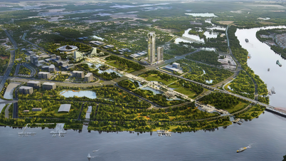
According to the plan, by 2030, Nam Giang district will have one type V urban area, Thanh My town, with an area of approximately 20,727 hectares.
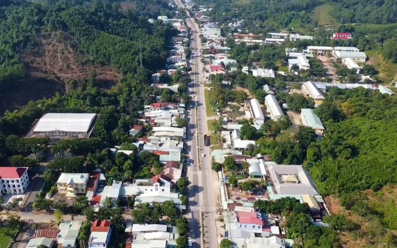
Nam Giang District has many drivers for development, situated along the corridor of National Highway 14B and National Highway 14E connecting to National Highway 14D to the Nam Giang International Border Gate, linked to the economic development relationship between the Nam Giang - Dak Ta Ooc Border Economic Zone and Da Nang City, and the Dien Ban - Hoi An - Dai Loc economic cluster via National Highways 14B, 14D and the Ho Chi Minh Highway.
At the same time, it serves as a key link in the Central Highlands economic region and Southern Laos - Northern Cambodia. Transportation links are convenient: the transportation infrastructure includes the Ho Chi Minh Highway, the Eastern Truong Son Highway, and National Highways 14B and 14D.
The Nam Giang Border Economic Zone has a strategically important location, with an international border gate situated on the East-West economic corridor; along with major arterial roads including the Ho Chi Minh Highway, National Highway 14B and 14D, facilitating economic and cultural exchange between countries, linking inter-regional and intra-regional areas, and promoting the development of industry, trade, services, and tourism …
Source: https://baoquangnam.vn/phe-duyet-ho-so-do-an-quy-hoach-xay-dung-vung-huyen-nam-giang-3148592.html


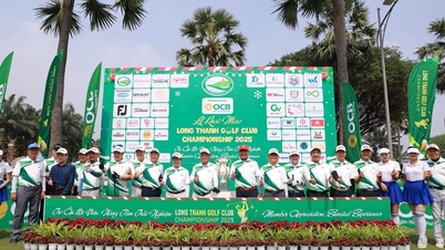
![[Photo] Two flights successfully landed and took off at Long Thanh Airport.](/_next/image?url=https%3A%2F%2Fvphoto.vietnam.vn%2Fthumb%2F1200x675%2Fvietnam%2Fresource%2FIMAGE%2F2025%2F12%2F15%2F1765808718882_ndo_br_img-8897-resize-5807-jpg.webp&w=3840&q=75)


Comment (0)