
On the morning of November 6, Director of Dong Nai Hydrometeorological Station Nguyen Phuoc Huy said: Storm Kalmaegi has entered the eastern sea area of the central East Sea, becoming the 13th storm in the East Sea in 2025.
At 7am today, the eye of the storm was at about 13.2 degrees North latitude; 112.3 degrees East longitude, about 330km East Southeast of Quy Nhon ( Gia Lai ). The strongest wind near the eye of the storm was level 14 (150-166km/h), gusting to level 17, moving in the West Northwest direction, speed about 30km/h.
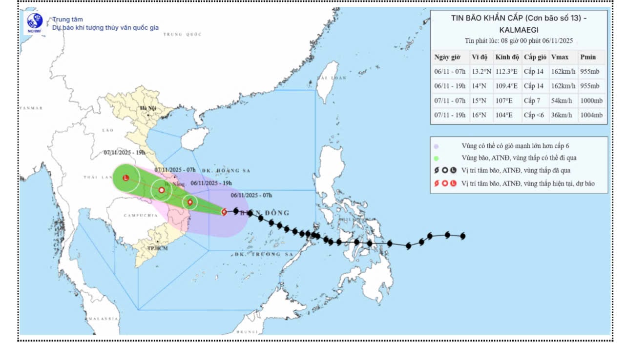 |
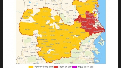
| Forecast map of the trajectory and intensity of storm No. 13 (Kalmaegi) released at 8:00 a.m. on November 6. |
Storm No. 13 is likely to make landfall tonight in the provinces from Quang Ngai to Dak Lak . Storm No. 13 is very strong at level 13-14, gusting to level 17. It is likely that by 7am tomorrow morning (November 7), the storm will make landfall and gradually weaken into a tropical depression, level 7, gusting to level 9.
Although storm 13 will not directly affect Dong Nai province, its circulation will cause heavy rain in the province. Heavy rain in Lam Dong area can cause water levels to rise rapidly, causing floods in the upper reaches of Dong Nai and La Nga rivers.
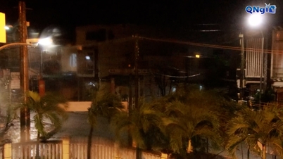
It is forecasted that in the next 2-3 days, Dong Nai will still have rain, concentrated in the evening, heavy rain combined with high tides, warning of local flooding in some places. From 1am on November 6 to 1am on November 8, Dong Nai province will have moderate rain, heavy rain and thunderstorms with common rainfall of 60-110mm, some places over 110mm (heavy rain concentrated in the afternoon and night). After that, the rain will gradually decrease in area and amount in Dong Nai province, total rainfall from 1am on November 8 to 1am on November 9 is commonly from 20-40mm, some places over 40mm.
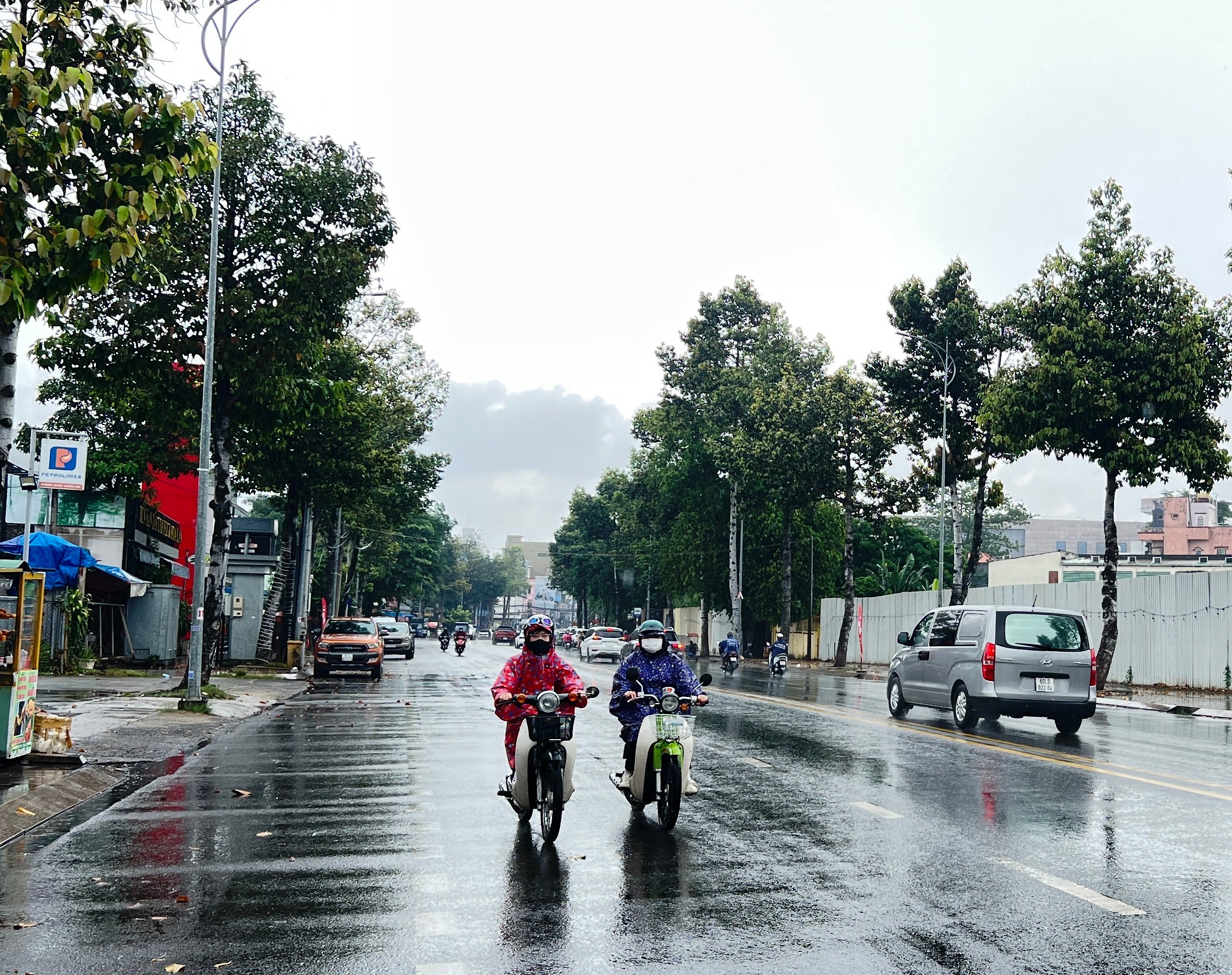 |
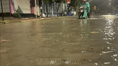
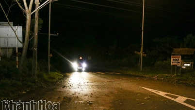
| It is forecasted that this afternoon and evening, November 6, Dong Nai will have rain. Illustration photo: Kim Lieu |
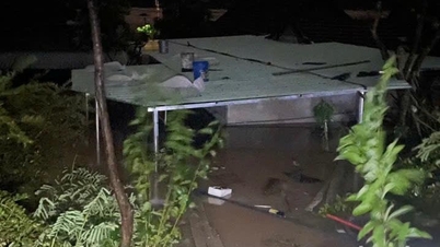
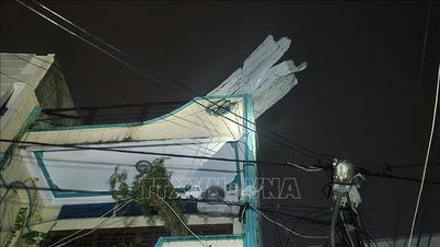
Beware of flash floods and landslides in mountainous areas and flooding in low-lying areas. Beware of heavy rain in a short period of time causing flooding in urban areas, riverside areas, and canals. During thunderstorms, there is a possibility of tornadoes, lightning, hail and strong gusts of wind.
Currently, the water level in the downstream of the Dong Nai river system and on the La Nga river is at a high level. At Bien Hoa station, the peak high tide continues to rise, the peak tide on the morning of November 6 reached 2.08m, appearing at 4:30, 0.08m above alarm level 2. The peak high tide continues to rise, possibly reaching near alarm level 3 (2.20m) on November 6 and 7 (17-18 of the 9th lunar month), the peak tide time during the day is around 5-6am and 5-6pm. The peak tide gradually decreases in the following days. At Phu Hiep station (La Nga river), it is at 105.25m, 0.25m below alarm level 2.
Rain coinciding with high tides on the full moon day of the ninth lunar month will cause local flooding in many places. Low-lying areas along the river in the lower reaches of the Dong Nai River, in the wards and communes of Tri An, Tan An, Trang Dai, Tan Trieu, Bien Hoa, Tran Bien, Long Hung, Phuoc Tan, Tam Phuoc, An Phuoc, Nhon Trach, Dai Phuoc, Phuoc An in Dong Nai province and neighboring areas are at risk of flooding due to high tides; low-lying areas along the La Nga River in the communes of Phu Lam, Tan Phu, Phu Hoa, Dinh Quan in Dong Nai province and neighboring areas are at risk of flooding due to floods.
According to Mr. Nguyen Phuoc Huy, the end of the rainy season and the period of high tides according to the astronomical cycle are also normal weather developments, in accordance with the law. However, it is necessary to be on guard against the possibility of heavy rain combined with floods causing flooding, landslides on river banks, streams, and low-lying areas in the above wards and communes. The water level of rivers and streams in the Dong Nai river system is high, posing a risk of flooding low-lying areas along rivers and streams, adversely affecting water transport activities, aquaculture, and agricultural production in rivers, streams, river banks, and stream banks.
“People should not panic, they need to closely monitor weather forecasts and warnings. In areas that are often flooded by high tides, people need to proactively raise their belongings, ensure electrical safety and limit movement through deeply flooded areas when heavy rain occurs,” Mr. Huy advised.
Kim Lieu
Source: https://baodongnai.com.vn/tin-moi/202511/bao-so-13-anh-huong-the-nao-den-thoi-tiet-tai-dong-nai-f6f03d4/


![[Photo] Closing of the 14th Conference of the 13th Party Central Committee](https://vphoto.vietnam.vn/thumb/1200x675/vietnam/resource/IMAGE/2025/11/06/1762404919012_a1-bnd-5975-5183-jpg.webp)

![[Photo] Prime Minister Pham Minh Chinh receives the delegation of the Semiconductor Manufacturing International (SEMI)](https://vphoto.vietnam.vn/thumb/1200x675/vietnam/resource/IMAGE/2025/11/06/1762434628831_dsc-0219-jpg.webp)


Comment (0)