
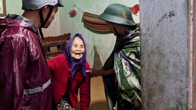
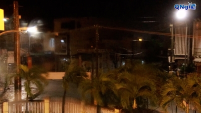
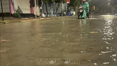
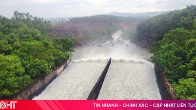
Information shows that in the past 14 hours (from 7am to 9pm on November 6), some areas in the province have had moderate to heavy rain. Soil moisture models show that some areas in Dak Lak province are nearly saturated (over 90%) or have reached a saturated state.
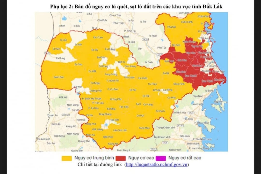 |
| Map of flash flood and landslide risks in Dak Lak province. |
It is forecasted that in the next 6 hours, some communes in the province will continue to have rain, moderate rain, heavy rain to very heavy rain. Total accumulated rainfall is generally from 40-70mm, in some places more than 70mm.
Throughout the province, there is a risk of flash floods on small rivers and streams; landslides on steep slopes with loose, weak soil and riverside areas, especially in localities in the eastern part of the province.
Specifically, the whole province has 61 high-risk areas in the eastern and western communes and wards of the province. For example, the area along the Ban Thach River (Dong Hoa Ward), along the Trai Stream area (Suoi Trai Commune), National Highway 1 through Xuan Dai Ward, along the Ba River (Duc Binh Commune); the hillside area of Hoa Binh 1 Village (Dak Lieng Commune), along the small stream (Vu Bon Commune), Xuan Phu Bridge (Krong Nang Commune)...
Warning level of natural disaster risk due to flash floods, landslides, land subsidence due to heavy rain or water flow: level 1.5; flash floods and landslides can have very negative impacts on the environment, threaten people's lives; cause local traffic congestion, affect the movement of vehicles; destroy civil and economic works, causing damage to production and socio-economic activities.
The Hydrometeorological Station recommends closely monitoring the development of rain and floods in the next warning bulletins.
Source: https://baodaklak.vn/kinh-te/202511/nhieu-vung-tren-dia-ban-tinh-dak-lak-canh-bao-nguy-co-lu-quet-sat-lo-dat-cf42e1b/
![[Photo] Prime Minister Pham Minh Chinh receives the delegation of the Semiconductor Manufacturing International (SEMI)](https://vphoto.vietnam.vn/thumb/1200x675/vietnam/resource/IMAGE/2025/11/06/1762434628831_dsc-0219-jpg.webp)


![[Photo] Closing of the 14th Conference of the 13th Party Central Committee](https://vphoto.vietnam.vn/thumb/1200x675/vietnam/resource/IMAGE/2025/11/06/1762404919012_a1-bnd-5975-5183-jpg.webp)


![Building a 'fortress' against natural disasters: [Part 2] Changing state from passive to active](https://vphoto.vietnam.vn/thumb/402x226/vietnam/resource/IMAGE/2025/11/06/1762423529917_0242-2223-160125_902.jpeg)


Comment (0)