
 |
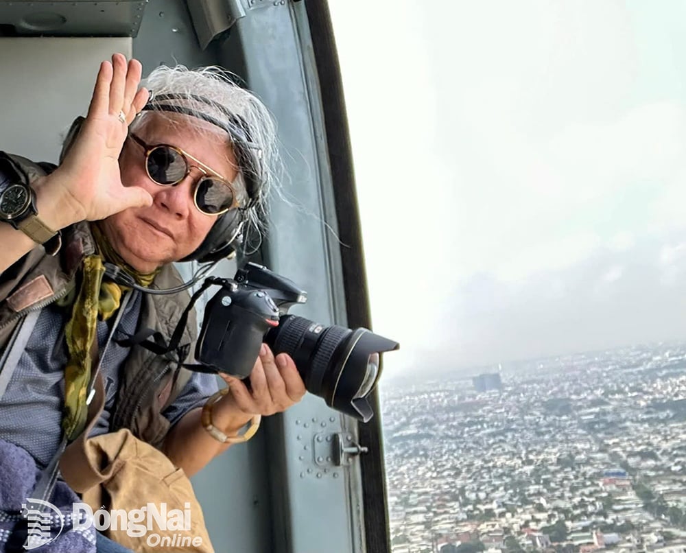
| Photographer Gian Thanh Son working on a military helicopter in March 2025. |
Photographer Gian Thanh Son said: “With over 30 years of taking aerial photos in many lands, islands, and coastlines of the Fatherland (since 1994), I have always been interested in this type of photography. Every time I pick up my camera on a flight, I have different feelings of excitement, always requiring the best preparation and experience to be able to take satisfactory photos based on the weather, light, time of day, and flight route to the specific landscapes in each locality.”
“I took many aerial photos in Dong Nai area with special feelings. Looking from above, this place is like a beautiful and rich picture of the intersection between nature and people. From the fields of crops, deep green hills, winding rivers to the modern urban landscape that appears every day, very impressively in sight” - photographer Gian Thanh Son shared.
Readers are invited to enjoy a series of aerial photos of Dong Nai taken by photographer Gian Thanh Son on the occasion of his latest flight with a military helicopter departing from Bien Hoa Airport and flying over the Dong Nai - Ho Chi Minh City sky in late March and early April 2025.
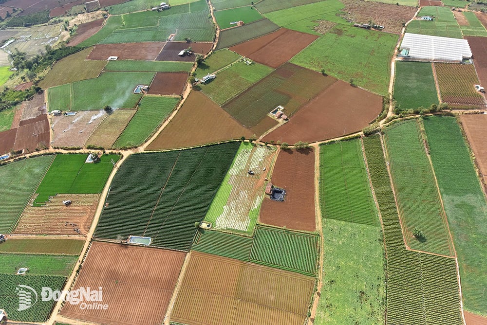 |
| The intercropping area in the mountainous district of Dinh Quan looks picturesque from the air. |
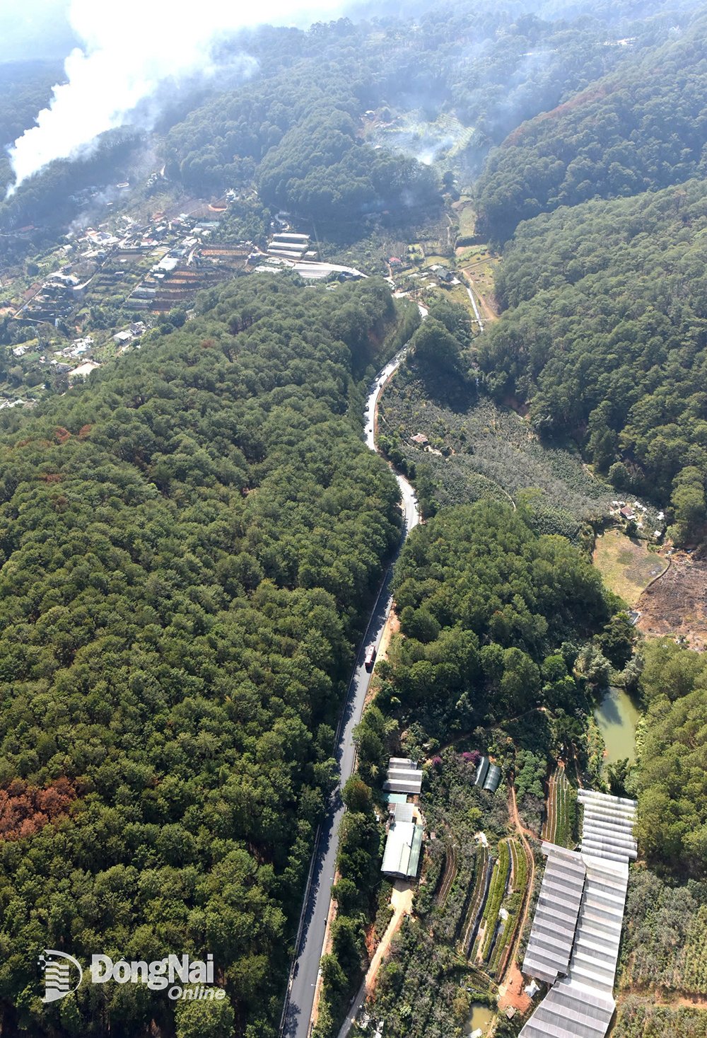 |
| National Highway 20 - the road axis from Dau Giay intersection, Thong Nhat district, Dong Nai province to Da Lat city, Lam Dong province. In which, the road from Dau Giay intersection to Bao Loc - Lam Dong is about 120km long. |
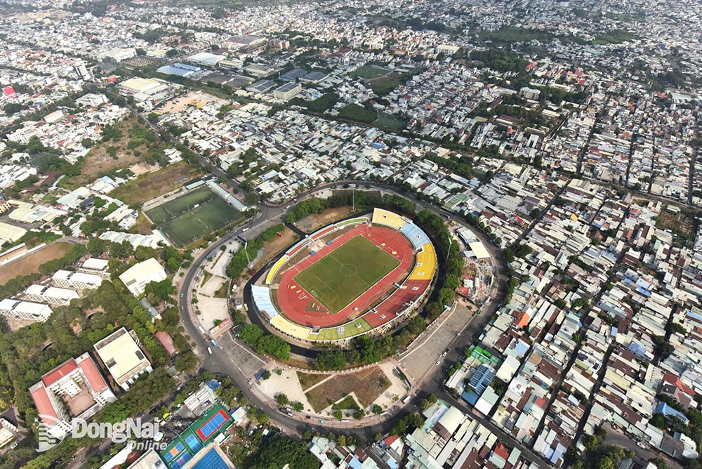 |
| Dong Nai Stadium seen from above. |
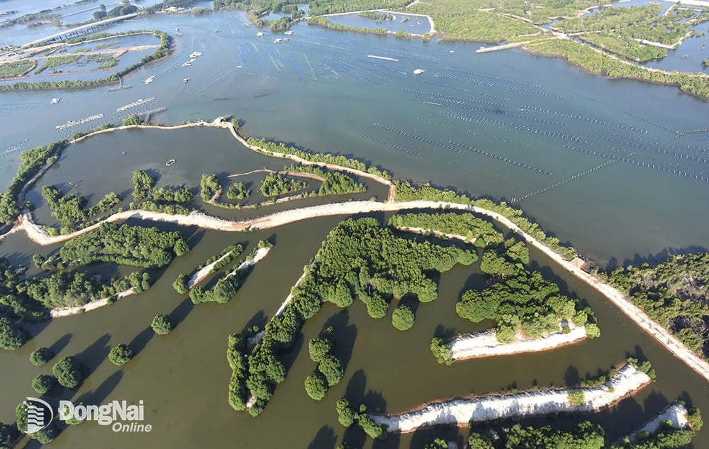 |
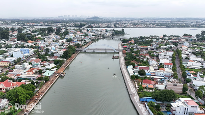
| The land area along the Dong Nai river is cool all year round, once the center of the ancient village of Ben Go. |
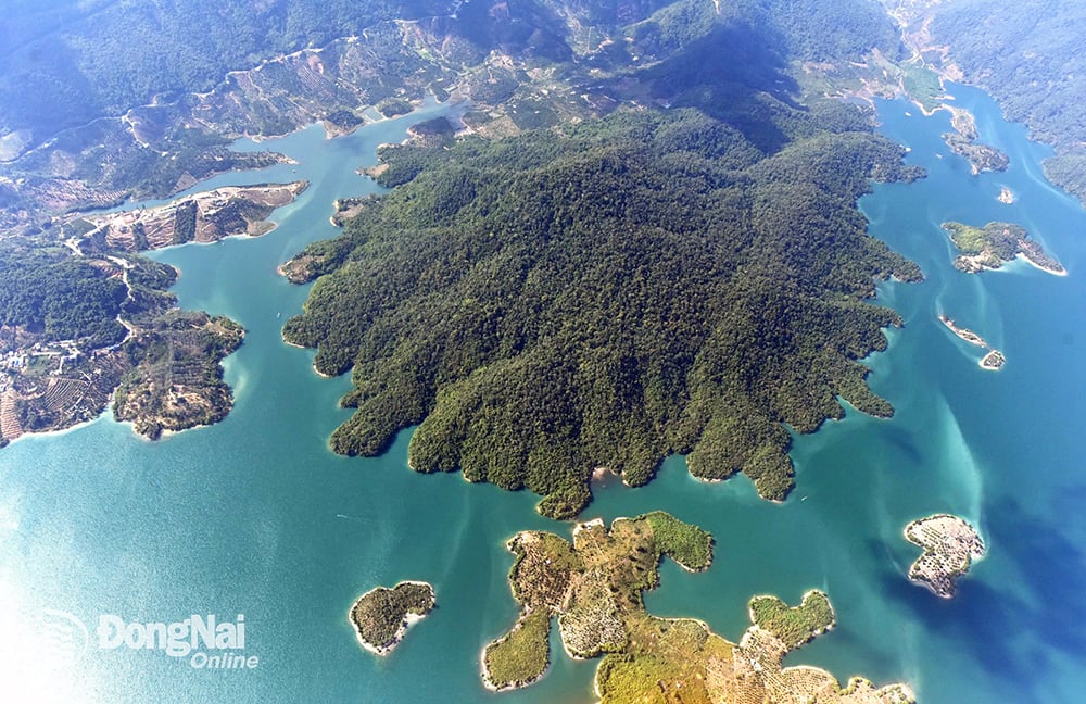 |
| Dong Nai has the most prosperous biodiversity center in the Southeast region. A typical example is Cat Tien National Park with many flora and fauna components, especially rare animals in the Red Book of Vietnam and the world. Photo: Gian Thanh Son |
Loyalty
Source: https://baodongnai.com.vn/dong-nai-cuoi-tuan/202504/nhiep-anh-gia-gian-thanh-son-chup-khong-anh-dong-nai-voi-cam-xuc-kho-quen-0de37d0/

![[Photo] Emotional and proud flag-raising ceremony and military review on Truong Sa island](https://vphoto.vietnam.vn/thumb/1200x675/vietnam/resource/IMAGE/2025/5/31/9b52525fce6f433083cd0a5bfee59f49)
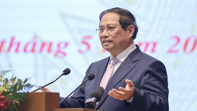
![[Photo] Prime Minister Pham Minh Chinh chairs a Dialogue with businesses and business associations](https://vphoto.vietnam.vn/thumb/1200x675/vietnam/resource/IMAGE/2025/5/31/b606d6f6ff584fa28af9f353c91bf15d)


![[Photo] Prime Minister Pham Minh Chinh attends the opening ceremony of the National Law Portal](https://vphoto.vietnam.vn/thumb/1200x675/vietnam/resource/IMAGE/2025/5/31/f02ed6288a4340bdb4adf1b2149b9614)
![[Photo] Launching ceremony and drawing of pairs for the "9th TIM CUP Highland Charity Football Tournament"](https://vphoto.vietnam.vn/thumb/1200x675/vietnam/resource/IMAGE/2025/5/31/a4c145af5d1e48c5b48c95116d41a73c)


Comment (0)