
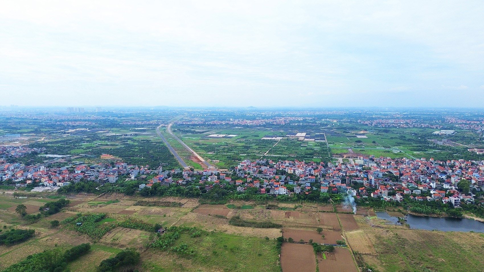
The Hong Ha Bridge construction project, one of the key traffic works on the Ring Road 4 - Hanoi Capital Region, has officially started. With a total preliminary investment of nearly 10,000 billion VND, the bridge is expected to create an important traffic connection axis, promoting socio- economic development for the area.
Project specifications and scale
The Hong Ha Bridge and its approach roads have a total length of approximately 6 km. The bridge cross-section is 24.5 m wide, designed with 4 lanes for motor vehicles and one lane for motorbikes and non-motorized vehicles on each side. The project is expected to be completed and put into use after 3 years of construction.
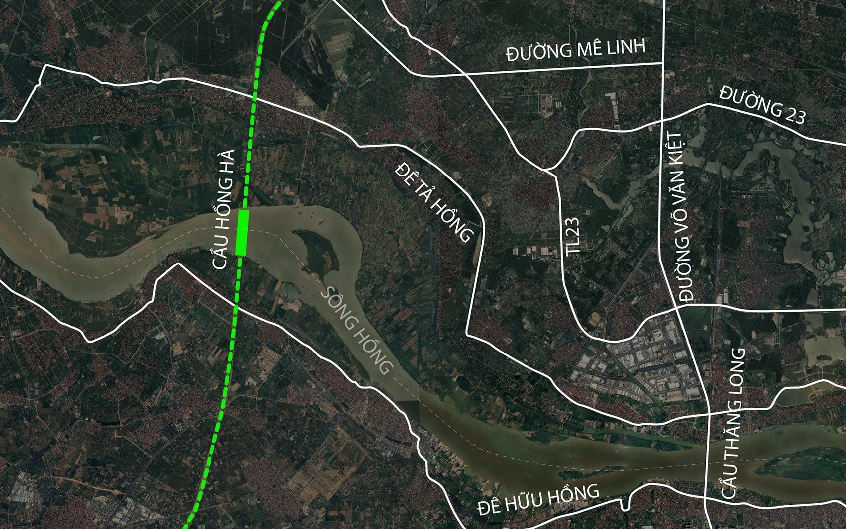
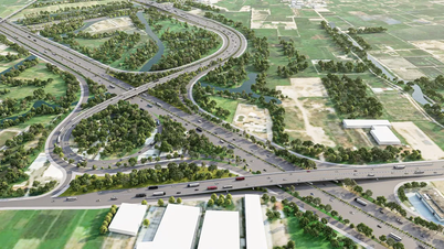
The project is part of Component Project 3 of the Ring Road 4 Construction Investment Project, implemented under the public-private partnership (PPP) method. The Ring Road 4 has a total length of nearly 81 km on the elevated route, accounting for more than 71% of the entire route, including 3 large bridges crossing the river: Hong Ha, Me So and Hoai Thuong.
Construction progress and impact on waterway traffic
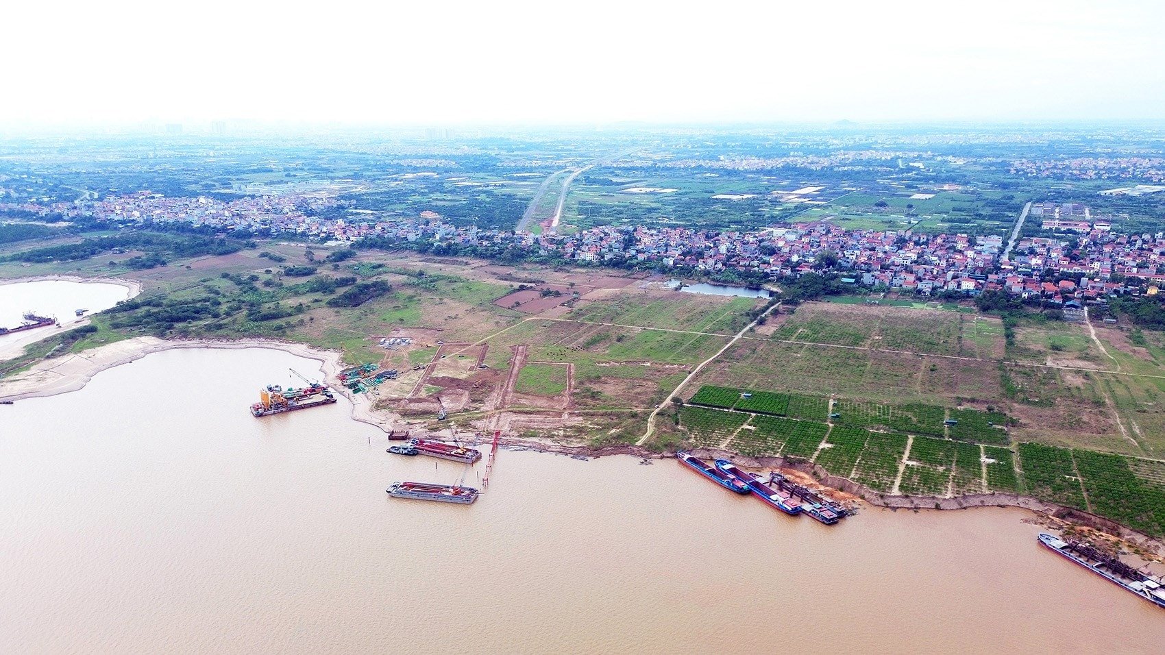
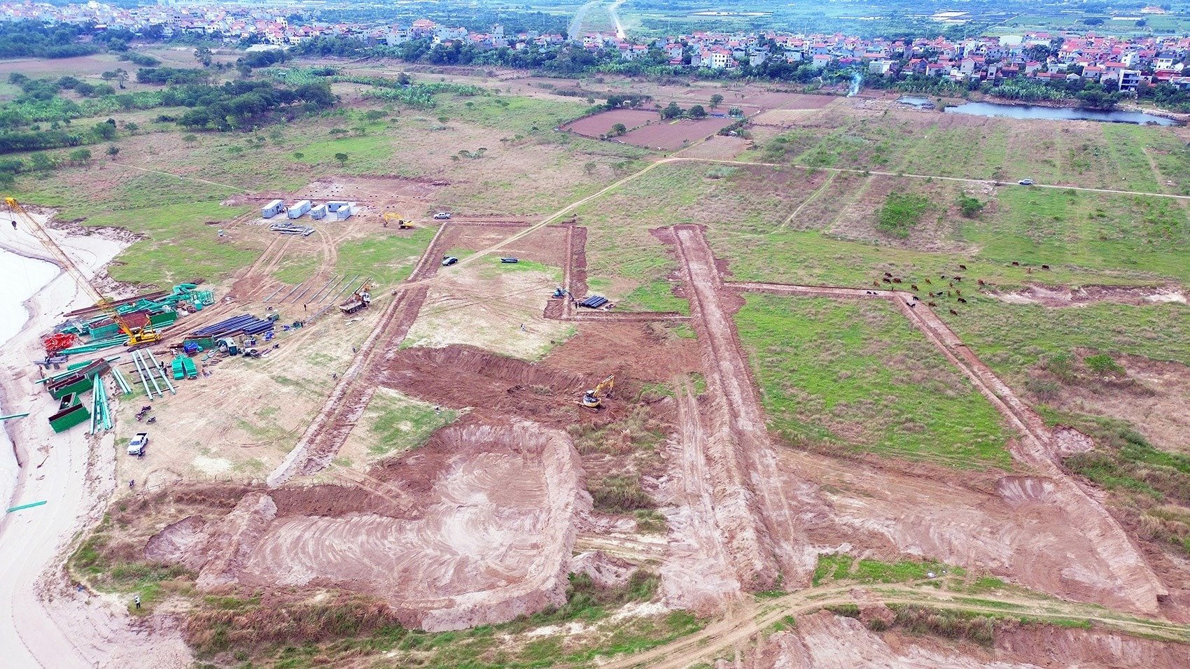
To facilitate the construction work, the Northern Maritime and Waterways Department has announced a plan to restrict waterway traffic on the Red River. Specifically, from October 10, 2025 to June 2027, waterway traffic in the area from Km197+700 to Km198+700 will be narrowed. This area belongs to O Dien commune (right bank) and Me Linh commune, Yen Lang commune (left bank).
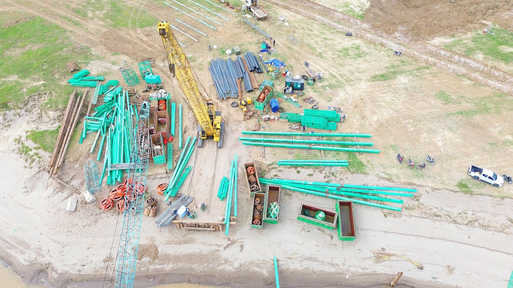
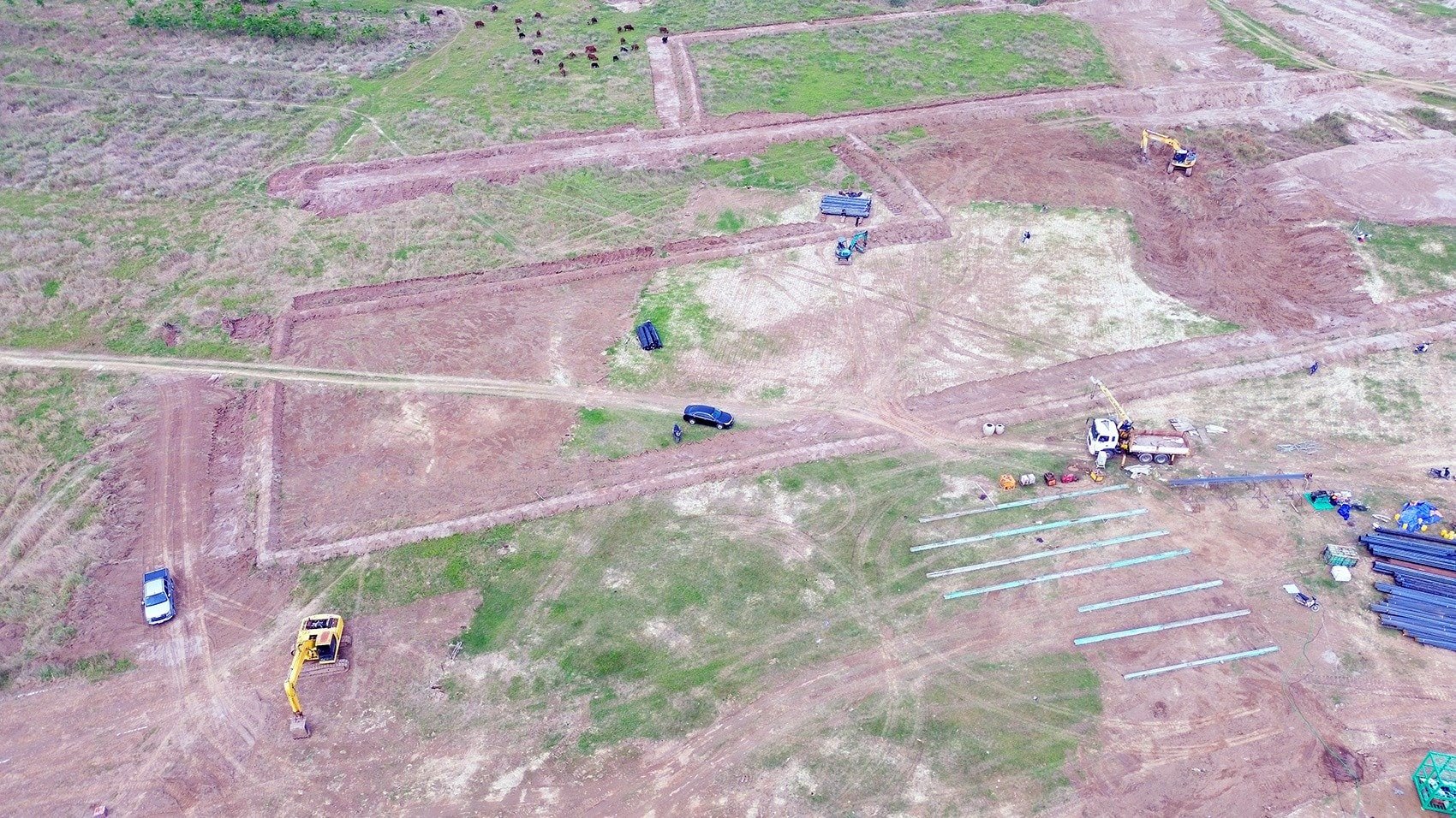
Currently, machinery and equipment have been gathered on both sides of the river in the communes of O Dien, Me Linh and Yen Lang to prepare for the first construction items.
Strategic location and connecting role
When completed, Hong Ha bridge will directly connect Hong Ha commune (Dan Phuong district) with Van Khe commune (Me Linh district), creating favorable conditions for people to travel and transport goods.
Strengthening inter-regional connectivity
Hong Ha Bridge, together with the Ring Road 4 system, will enhance inter-regional connectivity, significantly shortening travel time from Hanoi to neighboring provinces such as Hung Yen, Bac Ninh , and Phu Tho. At the same time, the project will help reduce traffic pressure on existing bridges such as Thanh Tri, Vinh Tuy, and Thang Long, which are often congested during rush hours.
Promoting satellite urban development
The construction of large bridges across the Red River is part of the capital's expansion planning strategy. The project not only solves the traffic problem but also creates new development space, promoting the process of population dispersion to satellite urban areas. This contributes to shaping a modern, multipolar and sustainable Hanoi in the future.
Source: https://baolamdong.vn/cau-hong-ha-10000-ty-tren-vanh-dai-4-chinh-thuc-thi-cong-398434.html
![[Photo] Flooding on the right side of the gate, entrance to Hue Citadel](https://vphoto.vietnam.vn/thumb/1200x675/vietnam/resource/IMAGE/2025/10/28/1761660788143_ndo_br_gen-h-z7165069467254-74c71c36d0cb396744b678cec80552f0-2-jpg.webp)
![[Photo] Draft documents of the 14th Party Congress reach people at the Commune Cultural Post Offices](https://vphoto.vietnam.vn/thumb/1200x675/vietnam/resource/IMAGE/2025/10/28/1761642182616_du-thao-tai-tinh-hung-yen-4070-5235-jpg.webp)


![[Photo] National Assembly Chairman Tran Thanh Man received a delegation of the Social Democratic Party of Germany](https://vphoto.vietnam.vn/thumb/1200x675/vietnam/resource/IMAGE/2025/10/28/1761652150406_ndo_br_cover-3345-jpg.webp)


![[Photo] President Luong Cuong attends the 80th Anniversary of the Traditional Day of the Armed Forces of Military Region 3](https://vphoto.vietnam.vn/thumb/1200x675/vietnam/resource/IMAGE/2025/10/28/1761635584312_ndo_br_1-jpg.webp)


Comment (0)