
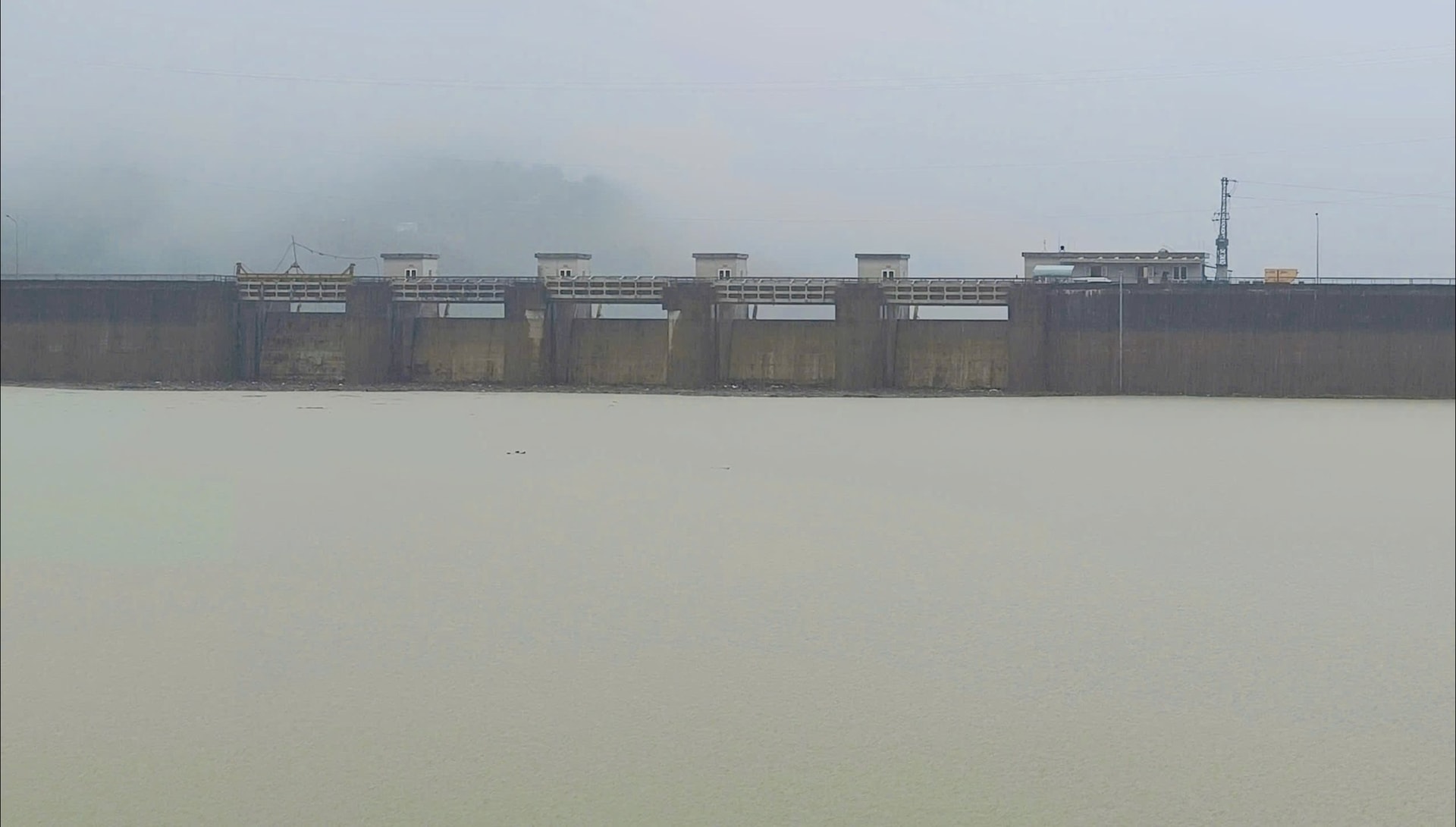
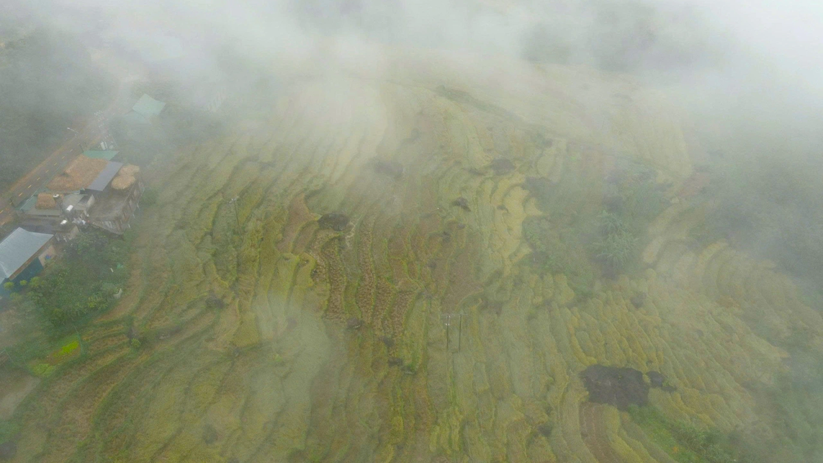
At 9:00 a.m. on November 17, the water level on Cai River (Dak Mi) in Thanh My dropped to 21.44m, about 56cm below alert level 3 (mainly due to heavy rain in the Thanh River basin). Flood on Vu Gia River in Hoi Khach dropped to 16.07m, 43cm below alert level 3; at Ai Nghia it was 9.16m, 16cm above alert level 3 and was peaking.
Flood on Thu Bon River in Nong Son is rising to 14.02m, 98cm below level 3; in Giao Thuy it is 7.43m, 7cm below level 2; in Hoi An it is 1.46m, 4cm below level 2.
Floods on the Han and Tam Ky rivers are below level 1.

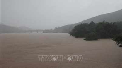
According to the forecast of the Central Hydrometeorological Station, from now until the evening of November 17, flood on Vu Gia River will remain at level 3 or close to level 3; flood on Thu Bon River will rise to level 2; Han River and Tam Ky River will rise to level 1-2.
From the night of November 17 to the morning of November 18, floods on rivers fluctuated at level 1 to above level 2, while on Thu Bon River, they fluctuated at level below level 3.
From November 17 to 20, on the Han River and Tam Ky River, there is a possibility of a flood with the peak at level BĐ2 to above BĐ2. The flood situation on the rivers is likely to last for many days.
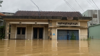
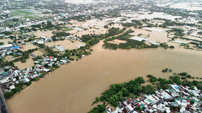
High risk of flooding in low-lying areas along rivers, flooding in urban areas, flash floods, landslides on steep slopes in mountainous areas of Da Nang city.
Areas in communes and wards that are and will be flooded include: Thanh My, Thuong Duc, Ha Nha, Dai Loc, Hoa Vang, Hoa Tien, Hoa Xuan, Cam Le, Ngu Hanh Son, Que Phuoc, Nong Son, Phu Thuan, Thu Bon, Duy Xuyen, Go Noi, Dien Ban Tay, Dien Ban Bac, An Thang, Dien Ban Dong, Dien Ban, Nam Phuoc, Hoi An, Hoi An Tay, Hoi An Dong, Duy Nghia,...
Source: https://baodanang.vn/lu-o-thuong-nguon-song-vu-gia-dang-xuong-song-thu-bon-dang-len-3310291.html


![[Photo] General Secretary To Lam and National Assembly Chairman Tran Thanh Man attend the 80th Anniversary of the Traditional Day of the Vietnamese Inspection Sector](https://vphoto.vietnam.vn/thumb/1200x675/vietnam/resource/IMAGE/2025/11/17/1763356362984_a2-bnd-7940-3561-jpg.webp)


Comment (0)