
From the night of February 15th to the morning of February 16th, a weak, eastward-shifting cold front combined with a jet stream in the westerly wind zone will bring rain and cold weather to Northern and North Central Vietnam; around February 21st, a new, stronger cold front will arrive.
According to the National Center for Meteorological and Hydrological Forecasting, currently (February 15th), a cold air mass is moving southward in the North.
Around tonight and tomorrow morning (February 16th), this cold air mass will affect the northeastern region of Vietnam, then some areas in the northwestern region and North Central region. Northeast winds inland will be strong at level 2-3.

This cold front is intensifying on top of the temperatures from the night of February 12-13, causing the area to continue experiencing prolonged cold weather accompanied by rain, drizzle, and fog.
Specifically, the meteorological agency stated that in the Northeast region, the weather will be cold from tonight, with some mountainous areas experiencing severe cold. The lowest temperatures during this cold spell in the Northeast region will generally range from 16-19 degrees Celsius, with some mountainous areas experiencing temperatures below 15 degrees Celsius.
As for Hanoi, the weather will be cold starting tonight. The lowest temperature during this cold spell will generally be 17-19 degrees Celsius.
Due to the influence of a weak, eastward-shifting cold front combined with a jet stream in the upper westerly wind zone, from tonight until the morning of February 17th, the Northern and North Central regions will experience scattered light rain. The Northwest region will have light rain in a few places, sunny weather in the afternoon, and cold temperatures at night and in the morning.
At the same time, the Southern Vietnam Regional Hydrometeorological Station also forecasts that the continental cold high pressure system will strengthen again and move down to Northern Vietnam on February 16th. The equatorial trough in the south, connected to the tropical depression over the offshore waters of South Central Vietnam, is weakening and dissipating. At higher altitudes, the subtropical high pressure system across Central Vietnam remains stable.
The cold front that had intensified earlier weakened slowly, but intensified again and moved down to Northern Vietnam from February 21st.
Meteorological experts note that the eastward shift and transformation of the cold air mass will cause many days of light rain, drizzle, and fog, especially in the northeastern and north-central provinces, impacting daily life and transportation for residents.
Additionally, from early tomorrow morning, in the northern part of the Gulf of Tonkin, the northeast wind will gradually strengthen to level 4-5, with waves 1-2m high; from tomorrow night, in the northeastern part of the North East Sea, the northeast wind will gradually strengthen to level 6, gusting to level 7-8, with rough seas and waves 2-4m high.

The cold air mass is shifting eastward and changing its characteristics, bringing days of fog and drizzle to the North.
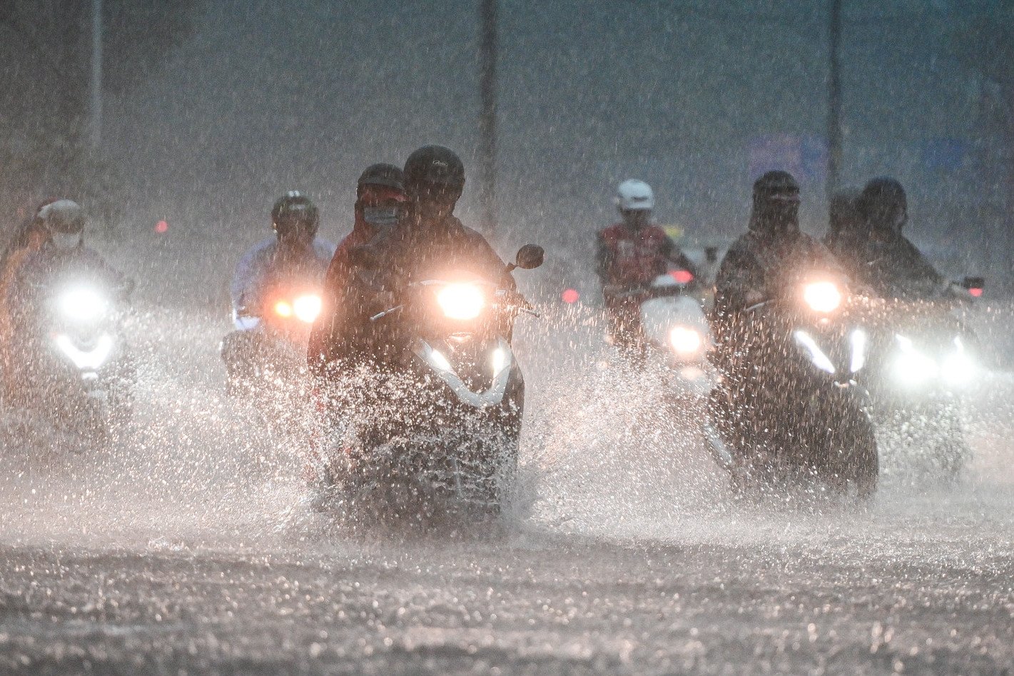
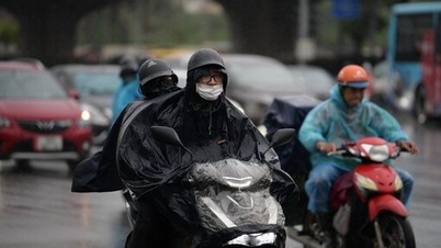
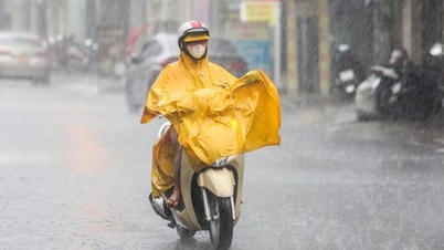
Ho Chi Minh City experienced an unusually heavy, unseasonal rainstorm in February, the worst in 40 years.
Source: https://vietnamnet.vn/mien-bac-don-lien-tiep-hai-dot-khong-khi-lanh-mua-ret-keo-dai-2371634.html


Comment (0)