
On the morning of October 27, at the Government Information and Command Center, the Prime Minister and Deputy Prime Minister Tran Hong Ha held an online meeting with provinces from Ha Tinh to Quang Ngai and Kon Tum province on response to storm TRAMI, which will make landfall in the southern Quang Tri-northern Quang Nam provinces at noon on October 27.
 |
Deputy Prime Minister Tran Hong Ha directs response to storm Trami. Photo: Internet.
According to the report of the National Center for Hydro-Meteorological Forecasting, on the morning of October 27, storm Trami was in the sea area of South Quang Tri - Da Nang . The sea area of provinces from Quang Binh to Quang Ngai (including Con Co, Ly Son, and Cu Lao Cham islands) has winds of level 6 - 7, near the storm center is strong at level 9 - 10, gusting to level 12. Waves are 2 - 4m high, near the storm center are 4 - 6m high. The sea is very rough. The coastal areas of Quang Binh - Quang Tri and Quang Ngai - Binh Dinh have waves of 2 - 4m high; the Thua Thien Hue - Quang Nam area has waves of 3 - 5m high.
It is forecasted that at noon on October 27, storm Trami will make landfall in the southern Quang Tri - Da Nang area, with strong winds of level 8 - 9, gusting to level 11 in the area near the storm. The coastal areas of Quang Tri, Thua Thien Hue, and Da Nang will have strong winds of level 8 - 9, gusting to level 10 - 11; further inland there may be strong winds of level 6 - 7, gusting to level 8 - 9. The most dangerous time for strong winds is from the morning of October 27 to the afternoon of October 27.
In the next 12-24 hours, the storm will move eastward, move back to the sea, weaken into a tropical depression, then a low pressure area and gradually dissipate.
It is forecasted that from the morning of October 27 to the end of October 29, the Quang Binh - Quang Ngai area will continue to have heavy rain of 200 - 400mm, some places over 600mm. The Southern Nghe An and Ha Tinh areas; the Quang Ngai and Kon Tum areas will have rain of 150 - 250mm, some places over 400mm. The Northern Nghe An and Gia Lai areas will have rain of 50 - 100mm, some places over 150mm.
The possibility of flooding on rivers from Quang Tri to Quang Ngai is at level 2-3, rivers in Quang Binh at level 2, rivers in Ha Tinh, Binh Dinh, Kon Tum at level 1.
From Quang Binh to Quang Ngai, there are over 30 districts and urban areas with 365 communes at risk of flooding. The risk of flash floods and landslides is high to very high on steep hillsides and talus in the area from South Nghe An to Binh Dinh, Kon Tum and Gia Lai, especially from Quang Binh to Quang Nam.
At the meeting, Deputy Prime Minister Tran Hong Ha requested that the hydrometeorological system must accurately forecast the time of storm landfall, in order to concentrate forces and means to promptly handle incidents on the vulnerable sea dike. The Ministry of National Defense coordinates and supports localities to urgently deploy plans to use flycams to inspect, review, and detect large, long cracks in areas at risk of landslides due to heavy, prolonged rain.
The Ministry of Agriculture and Rural Development, the Ministry of Industry and Trade, and the Ministry of Natural Resources and Environment must grasp information on water flow in lakes, supplement forecasts from the national hydrometeorological agency, and local hydrometeorological stations for timely regulation.
The Ministry of Transport, the Ministry of Information and Communications, electricity and telecommunications enterprises closely coordinate with localities to maintain traffic, communications, information connection, and smooth direction and operation./.
Yanjiang
![[Photo] Prime Minister Pham Minh Chinh chairs a Dialogue with businesses and business associations](https://vphoto.vietnam.vn/thumb/1200x675/vietnam/resource/IMAGE/2025/5/31/b606d6f6ff584fa28af9f353c91bf15d)
![[Photo] Crane falls on container truck and car at traffic construction site](https://vphoto.vietnam.vn/thumb/1200x675/vietnam/resource/IMAGE/2025/5/31/a8d3ae08da324cfe8ee406174c0eacc4)


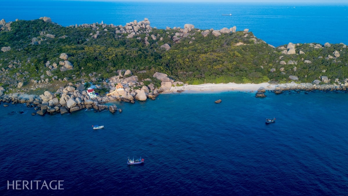
![[Photo] Emotional and proud flag-raising ceremony and military review on Truong Sa island](https://vphoto.vietnam.vn/thumb/1200x675/vietnam/resource/IMAGE/2025/5/31/9b52525fce6f433083cd0a5bfee59f49)


Comment (0)