
On February 7, a new cold air mass will affect the North, North Central and some places in the Central Central, Hanoi capital, with the weather turning very cold, some places extremely cold, with the lowest temperature from 10-12 degrees Celsius.

According to the National Center for Hydro-Meteorological Forecasting, early on February 7, cold air affected some places in the northern mountainous region.
On land, on February 7, this cold air mass will affect other places in the North, North Central and some places in the Central Central, then affect other places in the Central Central and some places in the South Central.
Northeast wind inland increases to level 3, coastal areas level 3-4, some places have gusts of level 6.
In the Northern region, the weather will turn very cold; from the night of February 7, the North Central region will turn very cold, in the area from Quang Binh to Hue, the weather will turn very cold, in some places it will be very cold.
The lowest temperature in this cold air mass in the North is commonly 9-12 degrees Celsius, in mountainous areas 5-8 degrees Celsius, and in high mountainous areas below 3 degrees Celsius in some places.
The North Central region has common temperatures of 11-14 degrees Celsius, while the area from Quang Binh to Hue has common temperatures of 14-16 degrees Celsius.
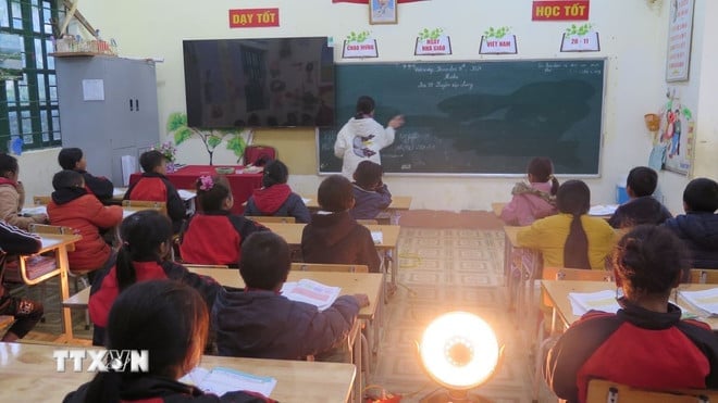
The capital Hanoi is experiencing severe cold, with some areas experiencing severe cold. The lowest temperature during this cold spell is commonly 10-12 degrees Celsius.
At sea, from the morning of February 7, in the Gulf of Tonkin, the strong northeast wind is level 6, sometimes level 7, gusting to level 8-9, rough seas, waves 2-4m high; in the North East Sea area (including Hoang Sa sea area), the strong northeast wind is level 6, then increasing to level 7, especially in the East, sometimes level 8, gusting to level 9-10, rough seas, waves 5-7m high.
From the afternoon of February 7, the sea area from Quang Tri to Ca Mau, the area between the East Sea and the western sea area of the South East Sea (including the sea area west of Truong Sa), the Northeast wind gradually increased to level 6, sometimes level 7, gusting to level 8-9, rough seas, waves 4-6m high.
From the night of February 7, the sea area east of the South China Sea (including the sea area east of Truong Sa) will have northeast winds gradually increasing to level 6, gusting to level 7-8, rough seas, and waves 4-6m high.
The National Center for Hydro-Meteorological Forecasting said the widespread cold spell in the North and North Central provinces is likely to last until around February 10.
Due to the influence of cold air strengthening combined with strong currents in the upper westerly wind zone, from February 7 to the morning of February 8, the Northern region and Thanh Hoa will have rain.
From February 7-9, the area from Nghe An to Khanh Hoa will have rain, showers, some places will have heavy rain and thunderstorms; thunderstorms may have tornadoes, lightning and strong gusts of wind. The mountainous areas of the North may have snow and ice.
Thunderstorms accompanied by tornadoes, lightning and strong gusts of wind can affect agricultural production, cause trees to fall, damage houses, traffic works and infrastructure.
Localized heavy rains are likely to cause flooding in low-lying areas; flash floods in small rivers and streams, and landslides on steep slopes.
Strong winds and large waves at sea are likely to affect boat operations and other activities.
Severe cold, snow and ice can affect livestock and poultry and greatly affect the growth and development of crops.
Source: VNA
Source: https://baophutho.vn/thoi-weather-ngay-7-2-thu-do-ha-noi-chuyen-ret-dam-nhiet-do-co-the-xuong-10-do-c-227521.htm


![[Photo] Da Nang: Hundreds of people join hands to clean up a vital tourist route after storm No. 13](https://vphoto.vietnam.vn/thumb/1200x675/vietnam/resource/IMAGE/2025/11/07/1762491638903_image-3-1353-jpg.webp)


Comment (0)