
On October 11th, the Southern Vietnam Regional Meteorological and Hydrological Station issued a weather forecast and warning for the middle week of October in Ho Chi Minh City (October 11-20).
Accordingly, regarding the overall situation, the Meteorological Station stated that the continental cold high-pressure system is weakening, with a slight strengthening expected around October 13th and 19-20th. The equatorial low-pressure trough at 6-9 degrees North latitude is weakening and fading, and around October 15-16th, a low-pressure trough at 7-10 degrees North latitude is likely to re-establish itself. The upper-level easterly wind disturbance continues to be active and affects the weather in the Southern region.
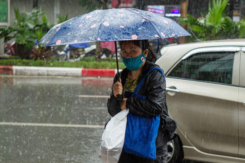
Therefore, the weather in Ho Chi Minh City will be mostly cloudy with scattered to widespread rain and showers throughout the week, with light to moderate rainfall; on a few days, there may be heavy rain in the early morning or late evening.

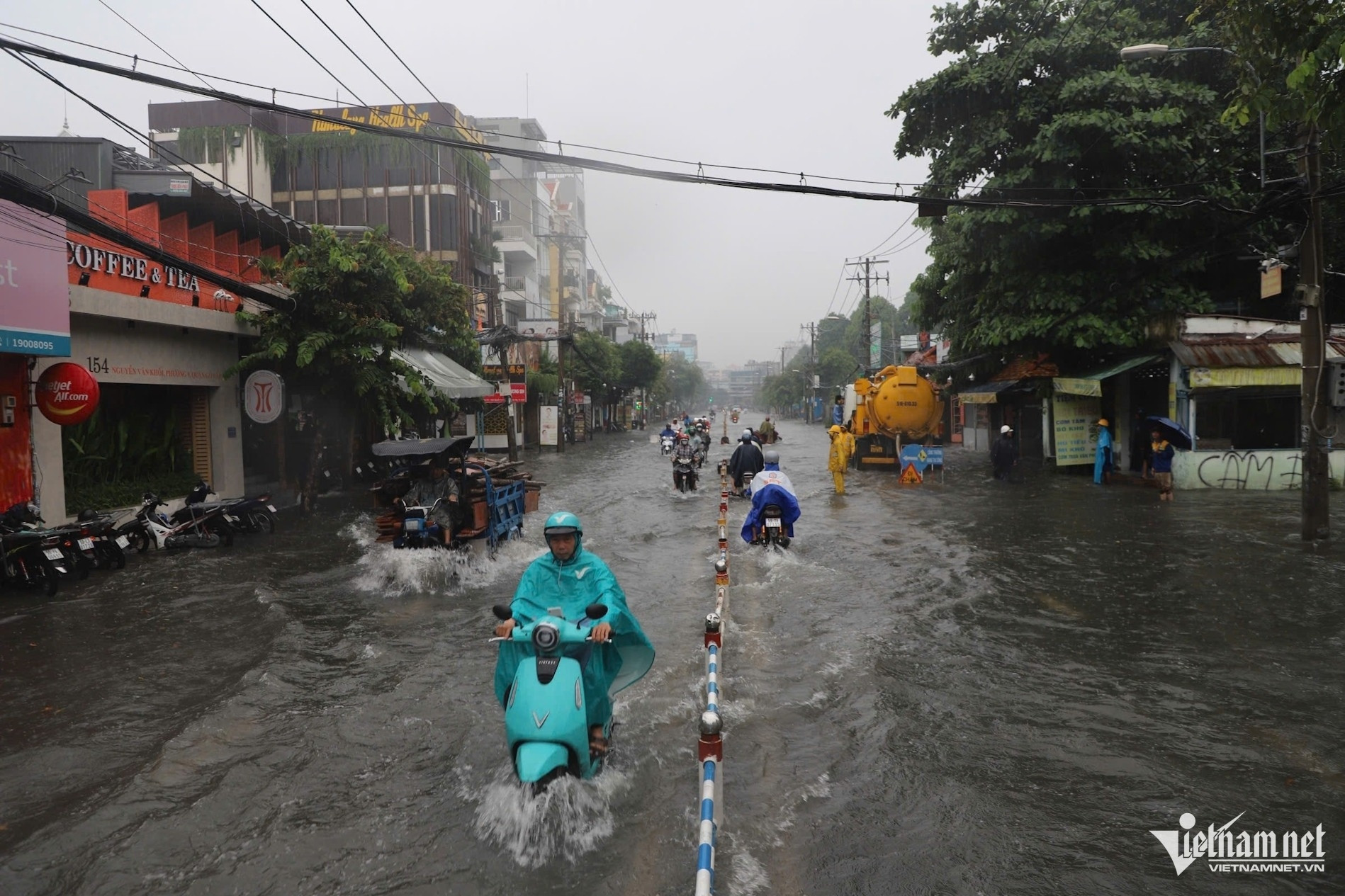
The meteorological station notes that the area is likely to experience widespread rain in the early morning between October 15th and 18th; be wary of tornadoes and strong gusts of wind during thunderstorms.
Specific forecast for the coming days, October 11-14 and October 19-20: Partly cloudy, sunny during the day, scattered showers and thunderstorms in the evening. Northeast winds of force 3-4 on October 11-12, then shifting direction and weakening. Highest temperature 32-34 degrees; lowest temperature 25-27 degrees.
From October 15-18: Cloudy skies with widespread rain, possibly in the early morning due to the influence of a low-level easterly wind disturbance combined with an equatorial trough. Winds will shift direction with weak to moderate intensity. Temperatures will decrease slightly, with a maximum of 31-33 degrees Celsius and a minimum of 24-26 degrees Celsius.
During the forecast period, the average temperature will be lower than or approximately equal to the multi-year average for the same period, ranging from 27-28 degrees Celsius; with the lowest temperature at 24-26 degrees Celsius and the highest at 32-34 degrees Celsius.
The total weekly rainfall was approximately equal to or higher than the average for the same period, ranging from 80-130mm.
The meteorological station warns of the possibility of heavy rain in the late afternoon and evening, which could cause localized flooding on some roads in the city center between mid-week and the end of the week, and the risk of tornadoes, lightning, and strong gusts of wind.
Furthermore, the National Center for Hydro-Meteorological Forecasting stated that this afternoon and evening (October 11th), the Southern region will experience showers and scattered thunderstorms, with some areas experiencing heavy rain with rainfall amounts ranging from 15-30mm, and some places exceeding 80mm. Tomorrow (October 12th), the region will continue to experience rain, moderate rain, and thunderstorms, with some areas experiencing heavy to very heavy rain.
Why were many areas in Ho Chi Minh City severely flooded after a 5-hour rain shower?
10-day weather forecast: Showers in the North, strengthening cold front.

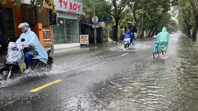
Floodwaters surged like a flash flood after the rain in Thu Duc City, sweeping away even motorbikes.
Source: https://vietnamnet.vn/tphcm-kha-nang-co-dot-mua-giong-manh-lien-tiep-vao-sang-som-2330958.html


![[Video] The craft of making Dong Ho folk paintings has been inscribed by UNESCO on the List of Crafts in Need of Urgent Safeguarding.](https://vphoto.vietnam.vn/thumb/402x226/vietnam/resource/IMAGE/2025/12/10/1765350246533_tranh-dong-ho-734-jpg.webp)


Comment (0)