
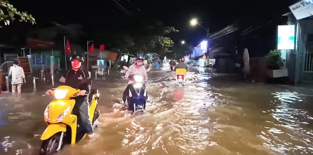
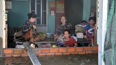
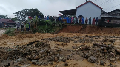
According to Mr. Dang Hoang Lam, although the high tide has shown signs of decreasing, many low-lying areas are still at risk of local flooding, especially riverside areas, weak dyke areas and areas outside the dyke.
"Water levels can still cause flooding from 1 to 45cm in many low-lying areas, especially along the Tien River, Co Chien River, Ham Luong River, Mang Thit River and Hau River," said Mr. Dang Hoang Lam.

As of 7 a.m. the same day, the highest water level recorded at My Thuan station was 2.06m, 20cm lower than the historical peak tide, but still 26cm higher than BĐIII. At Cho Lach station, the water level reached 1.97m, 7cm higher than BĐIII, while My Hoa station reached 1.68m, 3cm higher than BĐII.
According to forecasts, from October 26 to 30 , the daily peak tide level on rivers and canals will continue to decrease.
The disaster risk level of this tidal wave is determined at level 1-2, meaning there is a possibility of local impacts in areas outside the dike or weak dike.
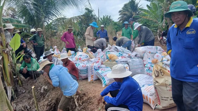
"People and local authorities need to closely monitor water levels, reinforce dikes, elevate assets, and proactively take measures to prevent flooding and landslides," Dang Hoang Lam advised.
Source: https://www.sggp.org.vn/trieu-cuong-tai-vinh-long-xuong-cham-nguy-co-ngap-cuc-bo-van-con-post820048.html

![[Photo] Enjoy the Liuyang Fireworks Festival in Hunan, China](https://vphoto.vietnam.vn/thumb/1200x675/vietnam/resource/IMAGE/2025/10/26/1761463428882_ndo_br_02-1-my-1-jpg.webp)

![[Photo] Nhan Dan Newspaper displays and solicits comments on the Draft Documents of the 14th National Party Congress](https://vphoto.vietnam.vn/thumb/1200x675/vietnam/resource/IMAGE/2025/10/26/1761470328996_ndo_br_bao-long-171-8916-jpg.webp)


![[Photo] Prime Minister Pham Minh Chinh attends the opening of the 47th ASEAN Summit](https://vphoto.vietnam.vn/thumb/1200x675/vietnam/resource/IMAGE/2025/10/26/1761452925332_c2a-jpg.webp)
![[Photo] General Secretary To Lam received the delegation attending the international conference on Vietnam studies](https://vphoto.vietnam.vn/thumb/1200x675/vietnam/resource/IMAGE/2025/10/26/1761456527874_a1-bnd-5260-7947-jpg.webp)


Comment (0)