
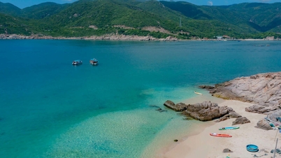
In the Lam Dong Blue Sea area, construction of the DT 719B route, Phan Thiet - Ke Ga section, 25.6 km, and Hon Lan - Tan Hai section, 8.7 km, is underway. At the same time, the province is also proposing that the Central Government support the investment budget for the Phan Ri Cua - Binh Thanh section, about 16.5 km, and the Son My section, about 12.5 km. Particularly in the central coastal area from Tien Thanh - Phan Thiet ward, Phu Thuy ward to Mui Ne, investment in building coastal roads is still very limited.
Most of the tourism projects are directly adjacent to the sea space, the beach area, coastal parks serving the public are very small, there are no projects to create highlights for the blue sea tourism area, there are no sea squares combined with commercial centers, entertainment areas... to serve the people and tourists.
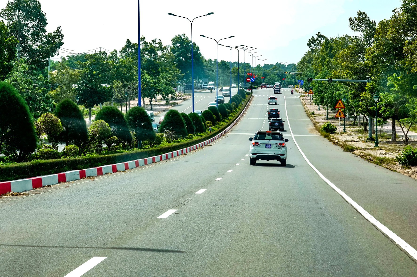
It is very necessary to supplement the planning and invest in the construction of a coastal road connecting Phu Hai - Tien Thanh in the tourist center, combined with additional coastal land fund, forming a modern, airy coastal park, creating a highlight and symbol for the blue sea in the Southeast of the province.
The Phu Hai - Tien Thanh coastal route passes through the wards of Phu Thuy, Phan Thiet and Tien Thanh, starting from the roundabout at the beginning of Vo Nguyen Giap Street (DT 706B) in Phu Thuy Ward and ending (Km14+600) intersecting with DT 719 at Cambodia slope, Tien Thanh Ward. The route length is about 14.6 km, the cross-section of the entire route is invested with 6 standard motor vehicle lanes, in which the cross-section scale of the road is 36.5 m.
Specifically: the road surface is 24.5 m wide, the median strip is 2 m, the sidewalk on each side is 5 m (the section through Phan Thiet coastal urban area has a cross-section of 34.5 m, specifically: the road surface is 24.5 m wide, the sidewalk on each side is 5 m). On the route, the Phu Hai cable-stayed bridge will be invested in, connecting Ton That Tung street with a teardrop-shaped island. Construction of embankments on the North and South banks of Phu Hai bridge, 3.5 km long, leveling and encroaching on the sea along the route in the Phu Hai river mouth area with an area of about 44.1 ha...
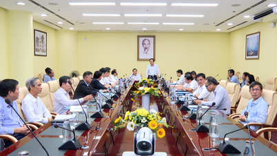
The Provincial People's Committee has issued a document (No. 211 dated September 9) assigning specific tasks to units to carry out steps to implement the project. Accordingly, the Provincial Traffic Project Management Board is assigned to put into progress the appraisal and approval of the project investment policy. Report and advise the Provincial People's Committee to assign tasks to agencies and units to develop the inter-ward zoning plan for Phu Thuy, Phan Thiet, Tien Thanh, related tasks and the progress of completing the planning work. Research and propose planning for a number of resettlement areas to serve the compensation, support and resettlement for the project.
The Department of Agriculture and Environment has a document guiding the Provincial Traffic Project Management Board on the procedures related to sea encroachment to implement the project, clearly defining whether it is necessary to report and ask for opinions from central agencies. Use common minerals of the new Ham Tien - Mui Ne Commercial and Service Urban Area project (area III) to level the ground for the project.
The People's Committees of Phu Thuy, Phan Thiet and Tien Thanh wards coordinate with the zoning planning unit to review and update the coastal route through the ward into the planning project according to regulations. Carry out well the state management of land, information and propaganda work on the project's investment policies and objectives so that people in the project area know, coordinate and agree during the project implementation process...
Source: https://baolamdong.vn/tuyen-duong-ven-bien-moi-se-tao-diem-nhan-vung-lam-dong-bien-xanh-399590.html
![[Photo] The road connecting Dong Nai with Ho Chi Minh City is still unfinished after 5 years of construction.](https://vphoto.vietnam.vn/thumb/1200x675/vietnam/resource/IMAGE/2025/11/04/1762241675985_ndo_br_dji-20251104104418-0635-d-resize-1295-jpg.webp)
![[Photo] Ca Mau "struggling" to cope with the highest tide of the year, forecast to exceed alert level 3](https://vphoto.vietnam.vn/thumb/1200x675/vietnam/resource/IMAGE/2025/11/04/1762235371445_ndo_br_trieu-cuong-2-6486-jpg.webp)

![[Photo] Ho Chi Minh City Youth Take Action for a Cleaner Environment](https://vphoto.vietnam.vn/thumb/1200x675/vietnam/resource/IMAGE/2025/11/04/1762233574890_550816358-1108586934787014-6430522970717297480-n-1-jpg.webp)
![[Photo] Panorama of the Patriotic Emulation Congress of Nhan Dan Newspaper for the period 2025-2030](https://vphoto.vietnam.vn/thumb/1200x675/vietnam/resource/IMAGE/2025/11/04/1762252775462_ndo_br_dhthiduayeuncbaond-6125-jpg.webp)


Comment (0)