
Scientists developed a global positioning system that can track even underground movements thanks to powerful cosmic rays.
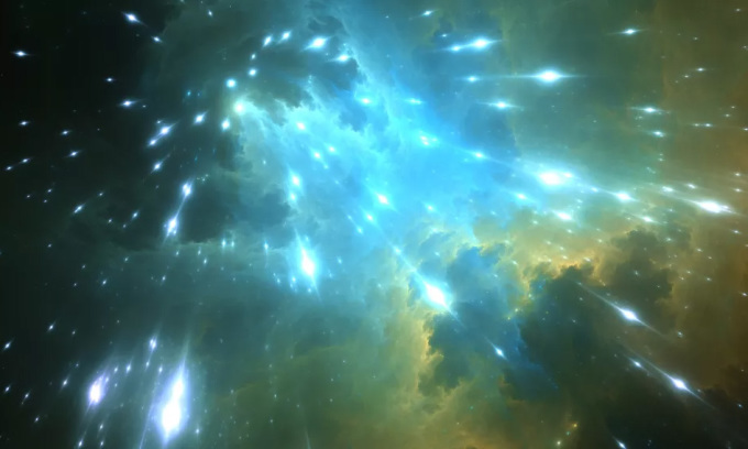
Illustration of cosmic rays raining down on Earth from space. Photo: Shutterstock
Cosmic rays are high-energy particles originating from outer space, including sources such as the Sun, distant galaxies, supernovae, and other celestial bodies. Although humans cannot directly see or feel cosmic rays, they are constantly raining down on Earth from space. In fact, they are so abundant that scientists estimate that one cosmic ray strikes one square centimeter of the Earth's surface every minute.
A research team led by Professor Hiroyuki Tanaka from the University of Tokyo is using cosmic rays to develop a global positioning system that can track movements within the Earth's interior, Interesting Engineering reported on June 18. The new research was published in the journal iScience.
When cosmic rays enter the Earth's atmosphere, they collide with molecules and atoms in the air, creating secondary particles called muons. Muons are fundamental subatomic particles, similar to electrons but 207 times heavier. Muons can penetrate solids, the extent of which depends on the density of the object. For example, rocks and buildings absorb more muons due to their high density.
Meanwhile, GPS relies on traditional radio waves, which are generally weaker at higher altitudes and more susceptible to scattering. This makes it very difficult to use for detecting underground movement.
Tanaka and his colleagues exploited the properties of cosmic rays to map hard-to-reach places such as volcanoes, nuclear reactor cores, and pyramids. They developed a new wireless navigation system using muons called MuWNS. The system includes surface-based reference detectors and an underground receiving detector to detect the muon's trajectory. By analyzing the timing and direction of the muons, MuWNS determines the relative position of the underground receiving detector to the surface-based reference detector.
Subsequently, all the collected data will help reconstruct the muon's trajectory to create a model or map of the underground area. The map can provide valuable information, such as the composition and density of the materials the muon passed through, allowing experts to visualize underground structures and geographical features.
The research team tested the new MuWNS system by placing a human detector in the basement and four reference detectors on the sixth floor of a building. They then successfully reconstructed the human's path underground by filtering the cosmic rays detected by the detectors.
The team of experts has demonstrated that the world's first cosmic ray-based global positioning system can support future search and rescue missions and volcano monitoring. Next, they plan to improve MuWNS so that it can be integrated into smartphones.
Thu Thao (According to Interesting Engineering )
Source link


Comment (0)