
The project, led by Dr. Duong Thi Toan, will be implemented from January 2023 to December 2025, as part of the Program for the Development of Basic Sciences in the fields of Chemistry, Life Sciences, Earth Sciences, and Marine Sciences for the period 2017–2025.
The primary objective of the task is to identify the formation mechanisms, dynamics, distribution characteristics, and impact scope of large-scale landslides in typical mountainous regions of Vietnam, thereby developing a toolkit to support early warning systems with up to 48 hours of warning.
During implementation, the research team integrated remote sensing, artificial intelligence, geological surveys, and unsaturated soil mechanics to clarify the mechanisms of large-scale landslide development in several high-risk areas. These results are presented in a comprehensive reporting system including a report on landslide formation mechanisms, a report on distribution characteristics by scale, a report establishing landslide-causing rainfall thresholds, and a set of documentation guiding the use of software and early warning models. These reports were completed on schedule and within the scope of the contract.
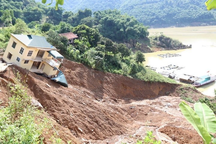
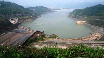
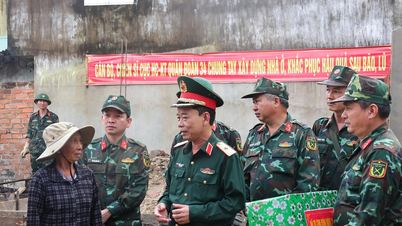
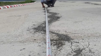
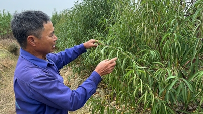
Illustrative image.
One of the key outcomes of the project was the development of a large-scale landslide early warning toolkit with a scale of 1/5,000–1/10,000 for typical mountainous areas. This toolkit has been tested in Yen Bai and has shown promising operational results. The research team also developed a WEBGIS system at yenbai.truotlo.com and a smartphone warning application called "Yen Bai Landslide," allowing residents and local authorities to access real-time risk information.
The results of the pilot application show that the WEBGIS system and warning application effectively assisted during several storms, including storms No. 5, 10, and 11 in 2025. Thanks to early warning information, local authorities were able to proactively evacuate residents, minimizing economic damage and ensuring the safety of lives.
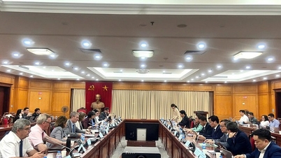
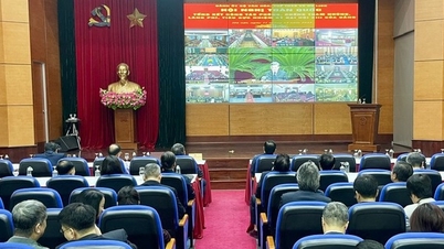
Simultaneously, the mission involves organizing capacity-building training courses for officials and residents in many communes of Mu Cang Chai, Van Chan, and Gia Hoi districts, helping them identify signs of large-scale landslides and effectively utilize digital warning tools.
The research findings of this project have laid an important foundation for building an early warning system based on science and technology, aimed at minimizing damage to people and property in mountainous areas in the context of increasingly complex climate change.
Source: https://mst.gov.vn/hoan-thien-co-so-khoa-hoc-va-cong-cu-canh-bao-som-truot-dat-quy-mo-lon-tai-vung-nui-viet-nam-197251211160005584.htm

![[Photo] Closing Ceremony of the 10th Session of the 15th National Assembly](/_next/image?url=https%3A%2F%2Fvphoto.vietnam.vn%2Fthumb%2F1200x675%2Fvietnam%2Fresource%2FIMAGE%2F2025%2F12%2F11%2F1765448959967_image-1437-jpg.webp&w=3840&q=75)


![[OFFICIAL] MISA GROUP ANNOUNCES ITS PIONEERING BRAND POSITIONING IN BUILDING AGENTIC AI FOR BUSINESSES, HOUSEHOLDS, AND THE GOVERNMENT](https://vphoto.vietnam.vn/thumb/402x226/vietnam/resource/IMAGE/2025/12/11/1765444754256_agentic-ai_postfb-scaled.png)


Comment (0)