
This is the result of the project "Research on carbon dynamics due to land-use change across ecosystems and people's livelihoods in the Northeast region", conducted by This project was carried out by Assoc. Prof. Dr. Bui Quang Thanh and his colleagues at the Faculty of Natural Sciences , Vietnam National University, Hanoi, along with several related units.
The central objectives of the project include developing methods for monitoring carbon dynamics due to land-use change across urban, forest, and agricultural ecosystems; identifying changes and potential carbon sequestration in soil, crops, and production activities; and proposing computational models and solutions to mitigate changes and declines in carbon sequestration capacity.
To date, the research team has developed a set of indicators and methods for monitoring changes in ecosystem services related to carbon dynamics due to land-use change. Several important technical reports have been completed, including a report on the characteristics of carbon dynamics and accumulation over the period 2000–2020 and forecasts up to 2050 in the study area; a standardized database system with 1/250,000 scale maps and 1/25,000 scale sample area maps; and machine learning models for calculating soil carbon content and above-ground biomass. These products provide an integrated data source for monitoring, evaluating, and forecasting carbon dynamics over time.

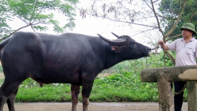
Illustrative image.
Furthermore, the team developed a quantitative method based on the application of machine learning and deep learning models in processing multi-resolution, multi-scale, and multi-type spatial data (satellites, aircraft, UAVs). The research results provide a new approach to determining carbon dynamics in bioemission systems and the dynamics of change in relation to land-use change. The research contributes to the improvement of quantitative carbon calculation methods using spatial data. In particular, these contributions are useful for developing countries where field data is scarce and insufficient.
The project also assesses the socio -economic and environmental effectiveness of carbon dynamic computational models. The results provide a scientific basis for resource protection, sustainable livelihood enhancement, and territorial development planning towards a green economy. Environmentally, the models contribute to supporting the assessment and planning of socio-economic development, environmental protection, and efficient land use management, while ensuring accuracy in carbon quantification for emission reduction strategies.
In the context of rapid urbanization in Vietnam, including the rapid shift of economic sectors, leading to changes in land use, changes in forest status, agricultural production activities, and urbanization impact the carbon balance (accumulation and emission). This research provides methods for calculating carbon change based on spatial data (satellite imagery, aerial photographs, UAVs) to quantify carbon dynamics, serving immediate goals in forest inventory, the REDD+ program, or supporting the implementation of long-term plans towards Net-Zero Carbon as committed by the Government at COP26.
Source: https://mst.gov.vn/nghien-cuu-dong-thai-carbon-do-thay-doi-su-dung-dat-tai-vung-dong-bac-bo-197251211162920308.htm


![[Photo] Closing Ceremony of the 10th Session of the 15th National Assembly](/_next/image?url=https%3A%2F%2Fvphoto.vietnam.vn%2Fthumb%2F1200x675%2Fvietnam%2Fresource%2FIMAGE%2F2025%2F12%2F11%2F1765448959967_image-1437-jpg.webp&w=3840&q=75)


![[OFFICIAL] MISA GROUP ANNOUNCES ITS PIONEERING BRAND POSITIONING IN BUILDING AGENTIC AI FOR BUSINESSES, HOUSEHOLDS, AND THE GOVERNMENT](https://vphoto.vietnam.vn/thumb/402x226/vietnam/resource/IMAGE/2025/12/11/1765444754256_agentic-ai_postfb-scaled.png)


Comment (0)