
The North will start to get cold from December 7, followed by the North Central region when strong cold air flows in; the lowest temperature this time is from 15-18 degrees, in high mountainous areas it is below 10 degrees.
On the morning of December 5, the National Center for Hydro-Meteorological Forecasting said that in the North, a cold air mass is moving south.
It is forecasted that around December 6, this cold air mass will have a weak impact on the northeastern provinces.
Then around December 7, the cold air intensified, affecting the Northwest, North Central, Central Central and some places in the South Central. Northeast wind inland was strong at level 3-4, coastal areas at level 4-5.
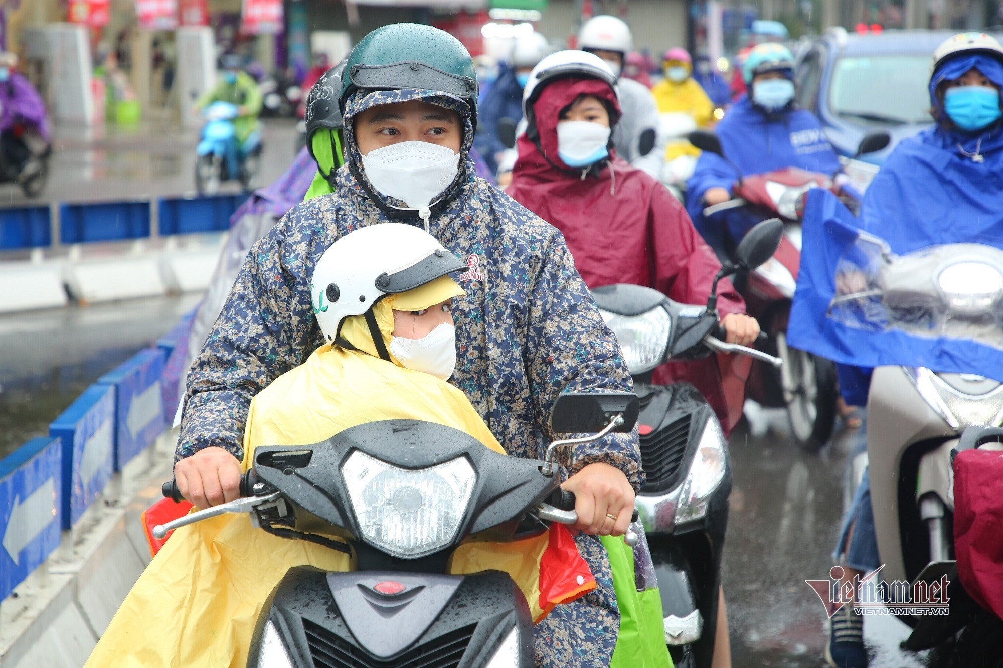
Due to the influence of cold air, on December 6, the weather in the Northeast will turn cool. From December 7, the weather will turn cold in the North, and from the night in the North Central region will turn cold. The lowest temperature during this cold air mass in the North and North Central regions will generally be from 15-18 degrees Celsius, in mountainous areas 12-14 degrees Celsius, and in high mountainous areas below 10 degrees Celsius.
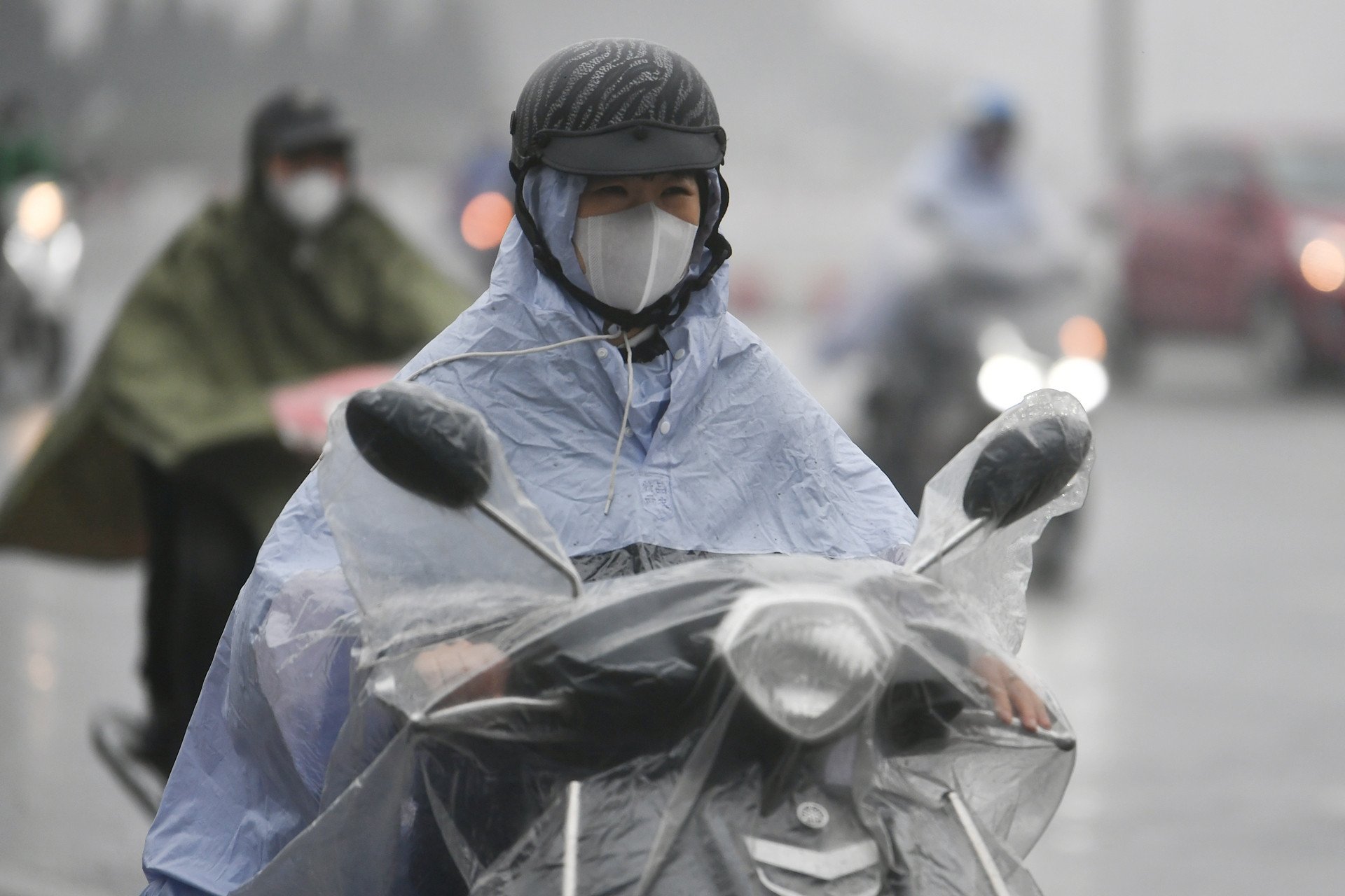
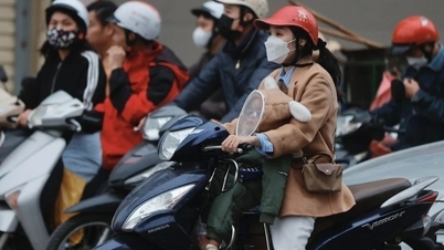
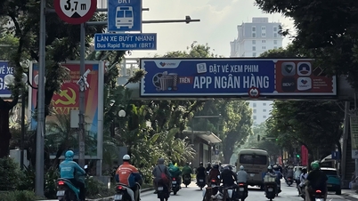
As for Hanoi weather , from December 6th there will be scattered rain, the weather will turn cool; from December 7th it will turn cold. The lowest temperature in this cold air mass is commonly 15-18 degrees.
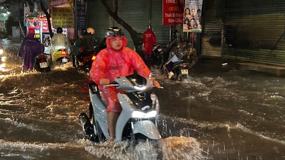
At the same time, due to the influence of cold air, from December 6 to the night of December 7, there will be scattered rain and showers in the North. From December 7, there will be rain and showers in the North and Central Central regions, with some places experiencing heavy rain and thunderstorms.
In addition, the Southern Hydrometeorological Station also assessed that the cold air on December 6 will strengthen in the North, Central and South regions and diffuse to the South; after weakening, it will strengthen again on December 11-12. The Northeast wind in the sea off the Southeast region on December 7 will increase rapidly again. Above, the subtropical high pressure will operate stably, then gradually lift its axis to the north.
The meteorological agency warns that thunderstorms accompanied by tornadoes, lightning and strong gusts of wind can affect agricultural production, cause trees to fall, damage houses, traffic works and infrastructure.
Localized heavy rains are likely to cause flooding in low-lying areas; flash floods in small rivers and streams, and landslides on steep slopes.
Strong winds and large waves at sea are likely to affect boat operations and other activities.
Weather forecast at sea : On December 6, in the Gulf of Tonkin, the wind will change to Northeast level 4-5; from December 7, the wind will gradually increase to level 6, gusting to level 7-8; rough seas; waves 1.5-3m high. From the afternoon of December 7, in the sea area from Quang Tri to Quang Ngai, there will be strong Northeast winds of level 6, gusting to level 7-8, rough seas; waves 2-4m high. On December 6, the eastern sea area of the North East Sea will have strong northeast winds of level 6, gusting to level 7-8; rough seas; waves 2-4m high. From December 7, in the northern East Sea area (including Hoang Sa archipelago), the northeast winds will be strong at level 6, especially in the northeastern sea area at times at level 7, gusting to level 8-9; rough seas; waves 3-5m high. |
Hanoi weather for the next 3 days: Welcoming strong cold air, cold weather day and night
Strong cold air is about to come, the North will have the coldest rain at the weekend
Source: https://vietnamnet.vn/khong-khi-lanh-manh-don-dap-mien-bac-mua-ret-buot-2348790.html
![[Photo] President Luong Cuong and United Nations Secretary-General Antonio Guterres chaired the signing ceremony of the Hanoi Convention.](https://vphoto.vietnam.vn/thumb/1200x675/vietnam/resource/IMAGE/2025/10/25/1761370409249_ndo_br_1-1794-jpg.webp)


Comment (0)