
People in need of relief just need to post on social networks.
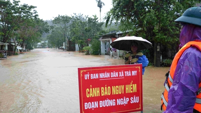
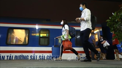
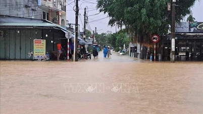
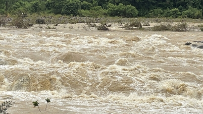
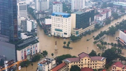
The continuous heavy rains in the past few days, along with the flood discharges from hydroelectric plants, have caused many places in the Central provinces such as Hue City, Da Nang City... to be submerged in water, and many areas have been severely isolated. Many people have taken to social networks to call for help because the water level has risen too quickly. Immediately, the group of young people continued to expand the scope of the rescue map that had previously accompanied people in the flood-affected areas of the North to the Central provinces.
Previously, during the flood in early October in the northern mountainous provinces, the social network connection initiative to create an information map application about the rescue address of 3 young people Nguyen Thi Mai Anh, Tu Tat Huan, Dang Thanh Long contributed to solving an urgent problem in natural disasters. This rescue map application collects and displays the rescue points, continuously updated in real time, thereby helping the rescue force to access faster, more accurately, contributing to timely rescue of people in flooded and isolated areas.
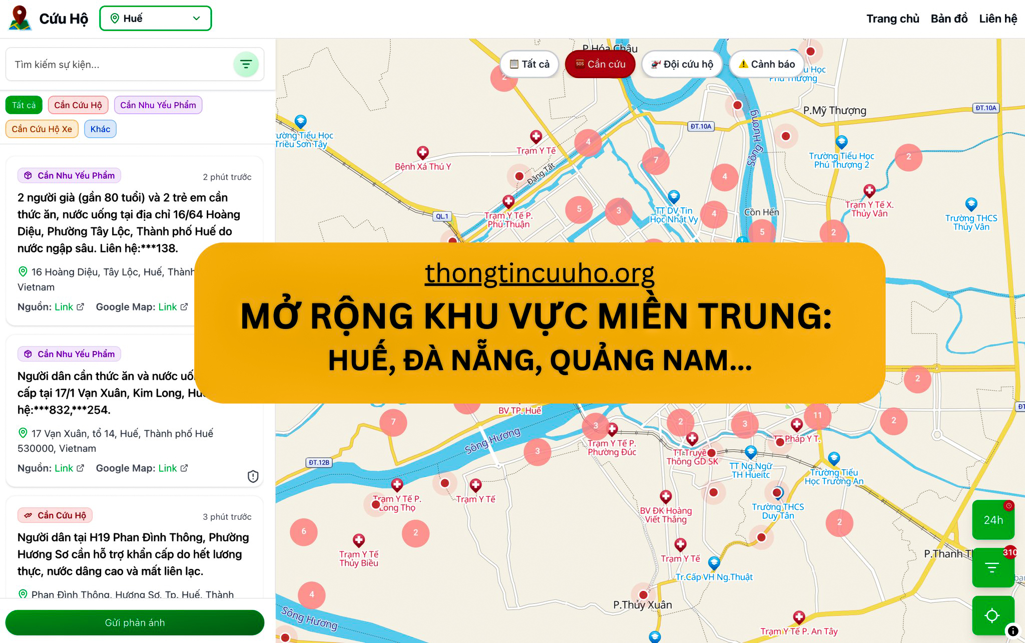
The flood rescue map has been expanded to the Central provinces.
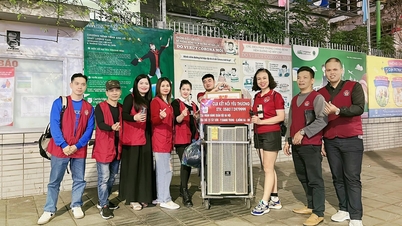
PHOTO: MA
Mai Anh said that after the floods in the North receded, the group decided to maintain the rescue platform thongtincuuho.org and be ready to turn it on when other provinces needed it. The group is also asking for infrastructure funding to maintain it for at least the next year.
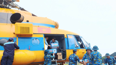
"Technologically, our system is ready to support any province or city that is experiencing natural disasters. However, to process data from people effectively, we really need connection and cooperation from specialized rescue units. That is the top priority of the group during this period," Mai Anh shared, adding: "This time, the group has cooperated closely with Mr. Huy Nguyen, a weather forecaster and rescue expert. The group collected information from Mr. Huy's personal page and extracted data to send to rescue units operating in the Central region. Mr. Huy is also directly in the Central region, coordinating drones to support rescue."
To be rescued, people post information about their rescue needs on fanpages, Facebook groups, or send it directly to the group's Rescue Information page. The system automatically collects and displays it on the map. For security, the group hides phone numbers and only shares detailed information with verified rescue teams.
Rescue teams can also contact Rescue Information to access this data. Mai Anh said the group is also searching and connecting with rescue teams, authorities, and experts in this field to share data and serve search and rescue work.
According to Mai Anh, comments and information sent to the group's page are just one of many channels for receiving information. The group's system automatically searches and collects data from many different fanpages and Facebook groups, so when people in flood areas need help, they only need to post on social networks, and the information will immediately be collected, processed and visualized on a digital map for rescue forces to access.
Efforts day and night
As young people who specialize in technology, they do not want to sit on the sidelines when witnessing their fellow countrymen struggling in the storm and flood. Before that, at midnight on October 7, when many posts on Facebook called for help about the urgent flood situation in Thai Nguyen , Mai Anh saw that people posted in many places continuously and even posted again and again. At that time, Mai Anh felt like there was no place to concentrate the information. Immediately, Mai Anh remembered that Huan had a similar platform that could process information like this and put it on a digital map to concentrate the information in the most intuitive way.
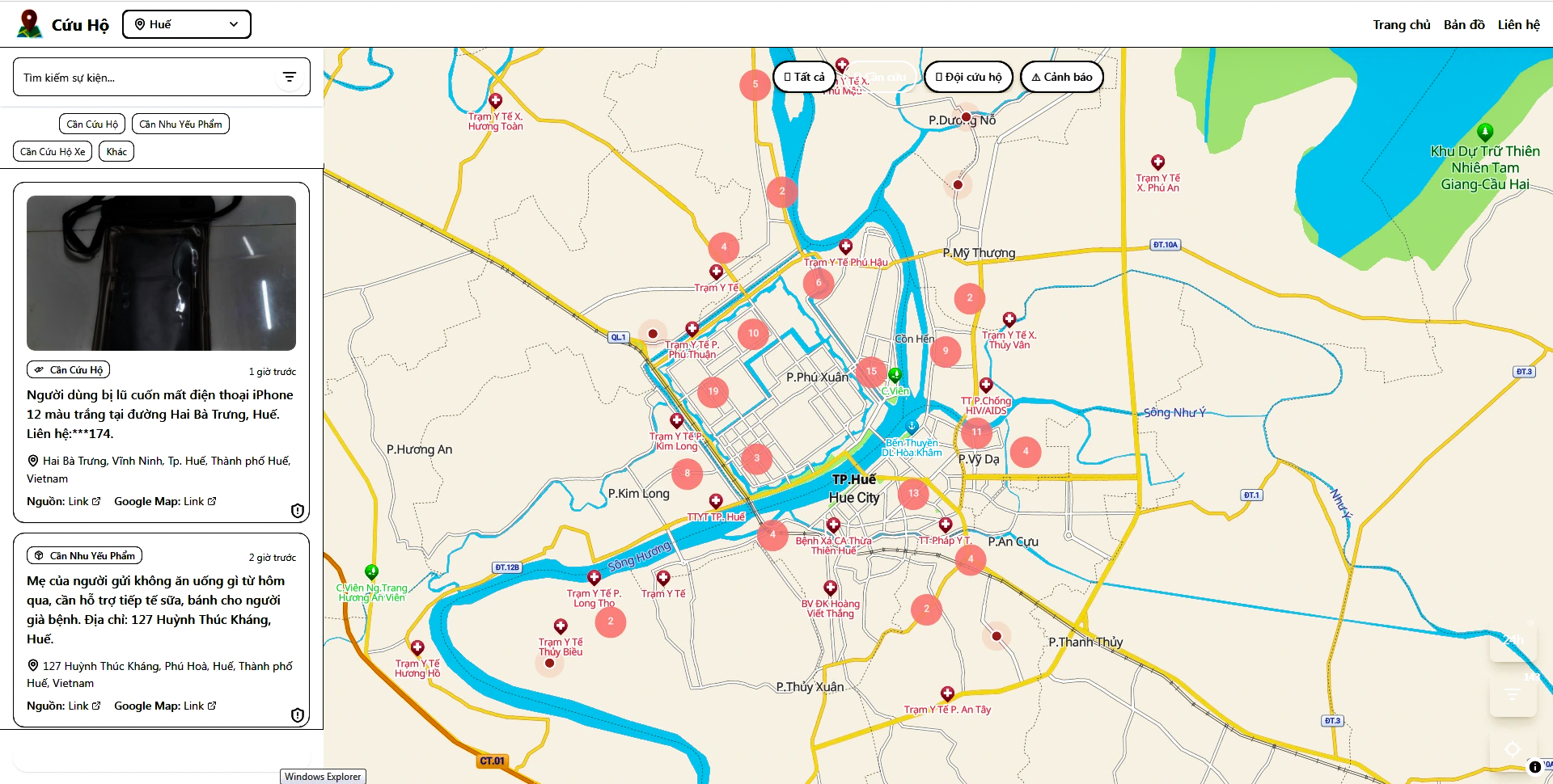
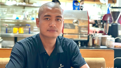
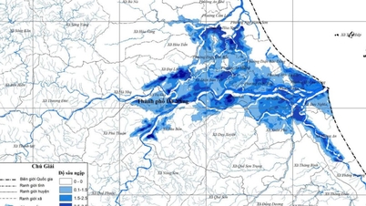
Rescue information in Hue PHOTO: SCREENSHOT
After Mai Anh contacted and discussed, Huan and Long decided to convert the vntraffic.app traffic platform into a rescue platform called thongtincuuho.org.
"Our system will collect data that people need to rescue and post on social networks, then process, classify and visualize it on the map. The group was quite surprised that after the flood in the North, after only a few hours of launching, it recorded more than 3,000 visits, and after 24 hours the number of visits was more than 57,000," Huan said.
Long confided: "When participating in the project, we did not think of this as simply a technological product but as a whole journey. We accompanied each other when each person devoted all their heart and effort day and night with the sole desire to do something truly meaningful. In addition, we also had the support of individuals, organizations, and experts in the field of rescue and relief."
"We feel like we have done something useful by accompanying people in flood-affected areas. Their determination and resilience during natural disasters is the driving force that makes us always want to improve and do more to support people," Long said.
While flood waters in the Central provinces continue to rise, Mai Anh wants to send a message to the people: "First of all, stay calm. Process information carefully, prioritize saving yourself first. Try to contact your relatives, send your exact location, and patiently wait for the rescue teams. Everyone's calmness will help the rescue work to be much more effective."
The group's digital map to rescue people in flooded areas was honored as the "AI for the community" communication initiative organized by Media AI Lab (a project promoting the ethical and effective use of AI in communication) in collaboration with Thanh Nien Newspaper on October 17. Mr. Nguyen Minh Triet, Secretary of the Central Youth Union, President of the Central Vietnam Student Association, highly appreciated the group's initiative.
If you or a loved one is in need of rescue, or you have a rescue location/station (high, safe area), please provide the following information: name and current status, level of danger; detailed address including: house number, street, village/commune, ward/old district, old province/city (with Google Map link if available); contact phone number on the Rescue Information page , or fanpages, Facebook groups... information will be automatically compiled on the map. People in Hue City, Da Nang City and Quang Nam (old) can access the following address:
Hue City: https://hue.thongtincuuho.org/
Da Nang City: https://danang.thongtincuuho.org/
Quang Nam (old): https://quangnam.thongtincuuho.org/
Thanhnien.vn
Source: https://thanhnien.vn/ban-do-cuu-ho-khan-cap-nguoi-dan-vung-lu-mien-trung-18525102920584586.htm

![[Photo] New-era Party members in the "Green Industrial Park"](https://vphoto.vietnam.vn/thumb/1200x675/vietnam/resource/IMAGE/2025/10/30/1761789456888_1-dsc-5556-jpg.webp)
![[Photo] Fall Fair 2025 - An attractive experience](https://vphoto.vietnam.vn/thumb/1200x675/vietnam/resource/IMAGE/2025/10/30/1761791564603_1761738410688-jpg.webp)

![[Photo] Prime Minister Pham Minh Chinh chaired a meeting to evaluate the operation of the two-level local government model.](https://vphoto.vietnam.vn/thumb/1200x675/vietnam/resource/IMAGE/2025/10/29/1761751710674_dsc-7999-jpg.webp)


Comment (0)