

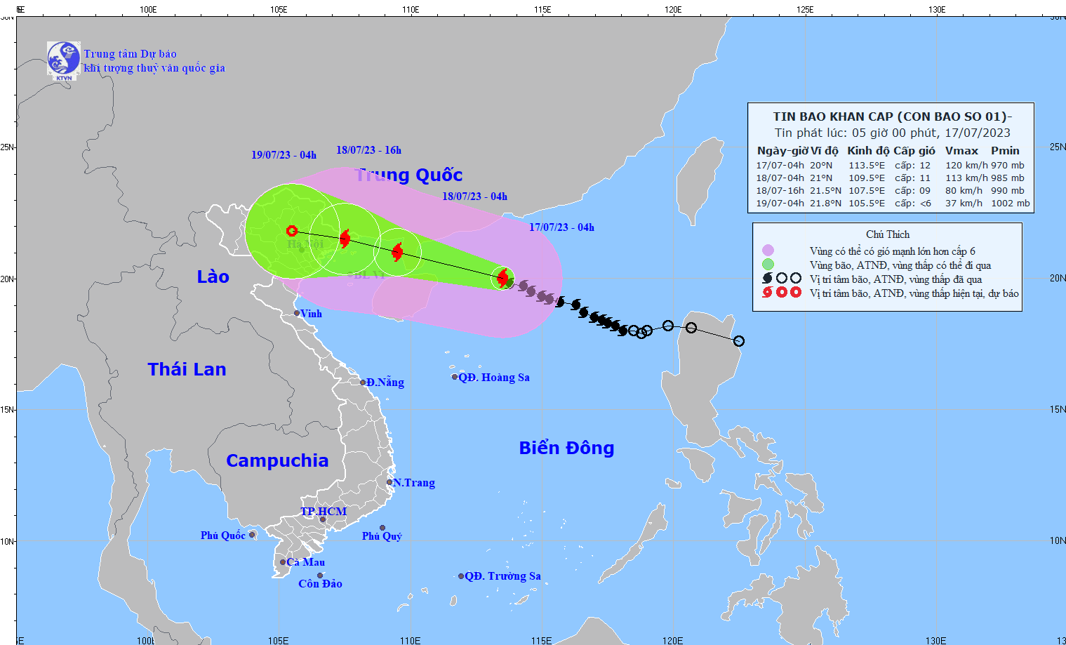
Specifically, according to the report, at 4:00 AM on July 17th, the typhoon's center was located at approximately 20.0 degrees North latitude and 113.5 degrees East longitude, about 340km east-southeast of the Leizhou Peninsula (China). The strongest winds near the center of the typhoon were at level 11-12 (103-133 km/h), with gusts up to level 15.
Forecast of storm developments (over the next 24 to 72 hours):
| Forecast time | Direction, speed | Location | Intensity | Hazardous area | Level of natural disaster risk (Affected area) |
| 04h/18/7 | West-northwest, 15-20 km/h. The storm is likely to intensify. | 21.0N-109.5E; located in the western part of the Leizhou Peninsula (China), approximately 190km east-southeast of Mong Cai (Quang Ninh) and approximately 290km east of Hai Phong. | Level 11-12, bursts up to level 15. | North of latitude 17.5N; 107.5E-115.5E | Level 3: Northern part of the South China Sea, Northern Gulf of Tonkin |
| 4 PM/July 18 | West-northwest, 15-20 km/h and gradually weakening. | 21.5N-107.5E; along the coastal area of Quang Ninh-Hai Phong province. | Level 9, then level 12 | North of latitude 18.0N; West of longitude 112.0E | Level 3: Northern Gulf of Tonkin, northeastern coastal region of Vietnam |
04h/19/7 | West-northwest, 15-20 km/h, continuing to weaken gradually into a low-pressure area. | 21.8N-105.5E; over land in the Northeast region of Vietnam. | North of latitude 18.0N; west of longitude 111.5E | Level 3: Northern Gulf of Tonkin, Northeastern region of Vietnam |
Forecast of storm impacts
| Strong winds | |
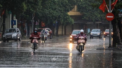
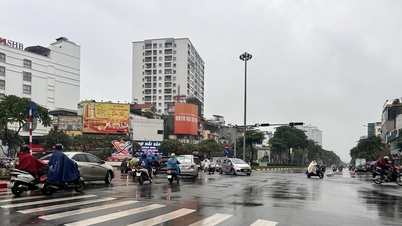
| At sea: -In the northern part of the North East Sea, winds are strong, reaching levels 8-9, with winds near the storm's center reaching levels 11-12, gusting up to level 15. The sea is extremely rough. - From around the afternoon of July 17th, the northern part of the Gulf of Tonkin (including Bach Long Vy and Co To island districts) will experience increasingly strong winds, reaching levels 6-7, then increasing to levels 8-9, with winds near the storm's center reaching levels 10-11, gusting to level 14. The sea will be extremely rough. On land: - From early morning on July 18th, coastal areas from Quang Ninh to Nam Dinh experienced gradually increasing winds of force 6-7, then increasing to force 8, with winds near the storm's center reaching force 9-10, gusting to force 13; inland areas in the Northeast of Vietnam experienced strong winds of force 6-7, gusting to force 9. | |
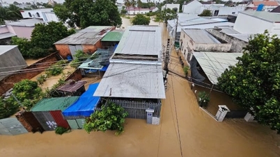
| Rising water, big waves | |
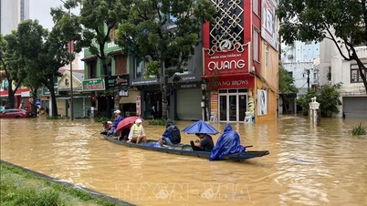
| Ocean waves: - The sea area north of the North East Sea has waves 5.0-7.0m high. - From the morning of July 18th, the sea area in the northern Gulf of Tonkin experienced gradually increasing waves, reaching 3.0-5.0m in height. In the coastal areas of Quang Ninh and Nam Dinh provinces, sea waves are 2.0-4.0m high. Storm surges pose a risk of flooding in coastal areas: - Coastal areas of Quang Ninh and Thai Binh provinces will experience storm surges of 0.5-0.8m. - High risk of flooding in low-lying areas along the coast, river mouths, and due to bank erosion. The sea was flooded due to the combined effects of high tides on the afternoon of July 18th. | |
| Heavy rain | |
| From the night of July 17th to July 20th, the Northern region will experience heavy to very heavy rain with rainfall amounts generally ranging from 200-400mm, and in some areas exceeding 500mm; Thanh Hoa and Nghe An provinces will have moderate to heavy rain, with some areas experiencing very heavy rain, with rainfall amounts generally ranging from 100-200mm, and in some areas exceeding 300mm. Be prepared for heavy rainfall causing urban flooding. The heavy rain, following several days of thunderstorms and a prolonged 10-day heatwave, combined with the rain expected in the coming days, will increase the risk of flash floods and landslides from July 18th in the Northern region, with a high risk in Quang Ninh, Lang Son, Cao Bang, Ha Giang, Lao Cai, and Yen Bai provinces. | |
| Thunderstorms, tornadoes | |
| Be prepared for the risk of thunderstorms and tornadoes accompanied by strong gusts of wind in the area affected by the storm's circulation, both before and during landfall. |
Source
![[Image] Vietnam's colorful journey of innovation](/_next/image?url=https%3A%2F%2Fvphoto.vietnam.vn%2Fthumb%2F1200x675%2Fvietnam%2Fresource%2FIMAGE%2F2025%2F12%2F14%2F1765703036409_image-1.jpeg&w=3840&q=75)


![[Image] Vietnam's colorful journey of innovation](https://vphoto.vietnam.vn/thumb/402x226/vietnam/resource/IMAGE/2025/12/14/1765703036409_image-1.jpeg)


Comment (0)