
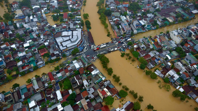
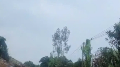
It is forecasted that in the next 6-12 hours, the flood will peak and recede slowly; the risk of deep flooding continues to occur in low-lying areas along the river, low-lying urban areas and communes along the downstream. At the same time, the risk of landslides and flash floods in mountainous areas remains very high.
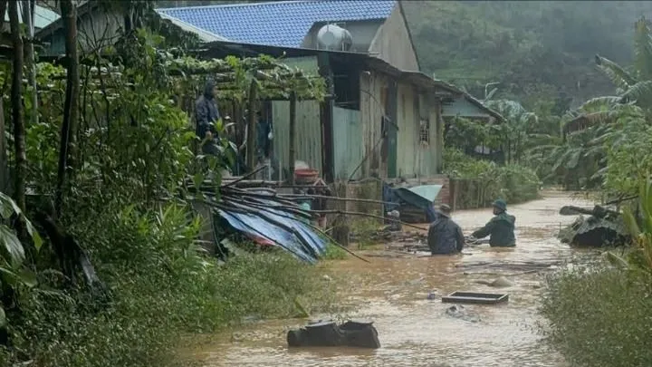
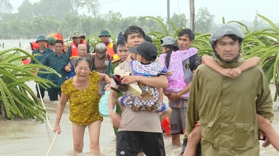
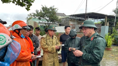
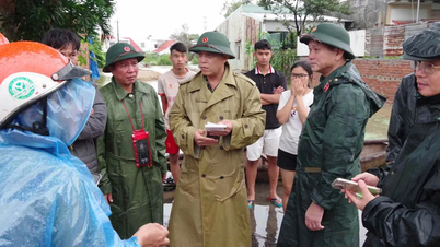
As of 5 a.m. on October 28, the entire city had proactively evacuated 1,101 households with 3,572 people from areas at risk of landslides and deep flooding such as Tra Linh, Tra Leng, Tra My, Nam Tra My, Duy Nghia, Vu Gia... Localities have mobilized local forces and arranged temporary accommodation at schools, cultural houses, and commune People's Committee headquarters.

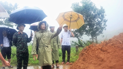
Many mountainous communes such as Phuoc Chanh, Tra Van, Tra Doc, Tra Giap… were isolated due to landslides and rising water. In the center of A Vuong commune (Azut village), floodwaters overflowed the embankment, inundating houses. The authorities are mobilizing forces to evacuate people and property to safety.
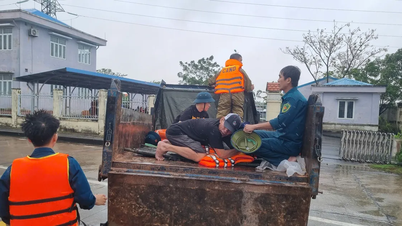
Similarly, in Ngu Hanh Son ward, Non Nuoc Border Guard Station also deployed forces to support people in moving their belongings to higher ground.

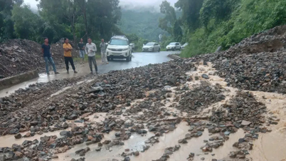
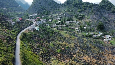
The floods caused serious traffic damage. National Highway 40B had more than 20 landslides with about 20,000 cubic meters of rock and soil, damaging the roadbed and bridges. National Highways 14B, 14G, 14H, 24C and provincial roads DT601, 606, 614, 615 had many landslides, causing estimated damage of billions of VND.
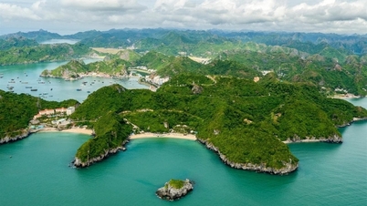
In addition, the coastal areas of Hoi An Tay and Hoi An Dong are severely eroded, threatening many coastal homes and businesses.
Large reservoirs managed by Da Nang Irrigation Exploitation Company Limited such as Hoa Trung and Dong Nghe are operating to regulate floods according to the plan; Phu Ninh reservoir has reached 87% and Thai Xuan reservoir 72% of its designed capacity. Hydropower reservoirs A Vuong, Song Bung 4, Dak Mi 4, Song Tranh 2... are implementing flood control for downstream areas according to the direction of the Da Nang City Civil Defense Command.

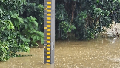
Previously , exceptionally large floods appeared on the Vu Gia, Thu Bon and Tam Ky rivers, with water levels at many stations exceeding alert level 3, in some places approaching the historic flood level of 2007, causing the risk of deep flooding and serious landslides in Da Nang and neighboring areas.
Source: https://www.sggp.org.vn/da-nang-ung-pho-mua-lon-so-tan-khan-hon-3500-nguoi-dan-post820308.html
![[Photo] President Luong Cuong attends the 80th Anniversary of the Traditional Day of the Armed Forces of Military Region 3](https://vphoto.vietnam.vn/thumb/1200x675/vietnam/resource/IMAGE/2025/10/28/1761635584312_ndo_br_1-jpg.webp)


![[Photo] Draft documents of the 14th Party Congress reach people at the Commune Cultural Post Offices](https://vphoto.vietnam.vn/thumb/1200x675/vietnam/resource/IMAGE/2025/10/28/1761642182616_du-thao-tai-tinh-hung-yen-4070-5235-jpg.webp)


![[Photo] The 5th Patriotic Emulation Congress of the Central Inspection Commission](https://vphoto.vietnam.vn/thumb/1200x675/vietnam/resource/IMAGE/2025/10/27/1761566862838_ndo_br_1-1858-jpg.webp)


Comment (0)