
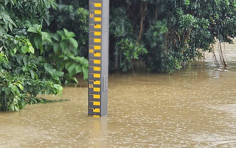
According to data from the Vietnam Disaster Monitoring System, the flood on the Thu Bon River in Giao Thuy peaked at 10:00 a.m. on October 28 at 9.79 m, 27 cm lower than the historical value of the flood peak in 1964 (10.06 m); at Cau Lau at 7:00 a.m. on October 28 at 5.34 m, 14 cm lower than in 1964 (5.48 m); at Hoi An at 3:00 a.m. on October 28 at 3.13 m, 27 cm lower than in 1964 (3.4 m).
Flood on Vu Gia River at Ai Nghia peaked at 3:00 a.m. on October 28 at 10.18m, 59cm lower than the flood peak in 2009 (10.77m).
At 10:00 a.m. on October 28, the flood level on Vu Gia River at Ai Nghia was at 9.95m, 0.95m above alert level 3.
The water level of Thu Bon River at Giao Thuy is at 9.49m, 0.69m above BĐ3; at Cau Lau is at 5.34m (maintaining flood peak), 1.34m above BĐ3; at Hoi An is at 3.09m, 1.09m above BĐ3.

According to the forecast bulletin of the Central Hydrometeorological Station, from October 28 to the end of the night of October 29, communes and wards in Da Nang city will still have heavy rain, very heavy rain and thunderstorms.
Total rainfall in wards and communes in the plains is commonly 150 - 300mm, in some places over 350mm; in mountainous wards and communes it is commonly 200 - 350mm, in some places over 450mm, with a risk of rain intensity greater than 150mm in 3 hours in mountainous areas.
On October 30, in Da Nang city, heavy rain tends to gradually decrease, there is still moderate rain, some places have heavy rain with common rainfall of 20-50mm, some places over 80mm.
During the afternoon and evening of October 28, floods on the Vu Gia - Thu Bon river system continued to recede slowly and fluctuated at level BĐ2 - BĐ3; Tam Ky and Han rivers continued to peak and recede slowly with flood peaks on Tam Ky river at Tam Ky and on Han river at Cam Le approximately equal to level BĐ3.
During the night of October 28 and the morning of October 29, floods on rivers receded slowly and fluctuated at level BĐ2 to below BĐ3.
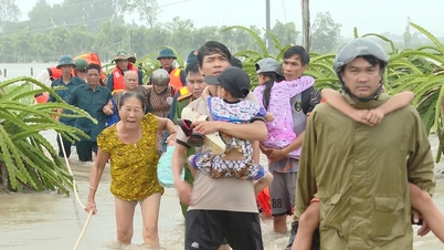
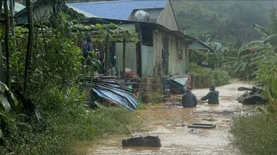
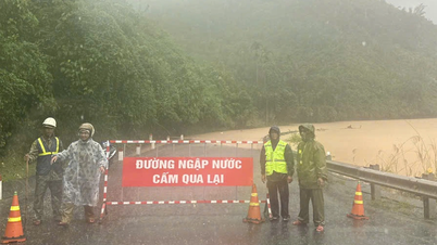
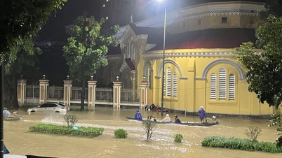
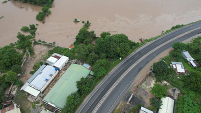
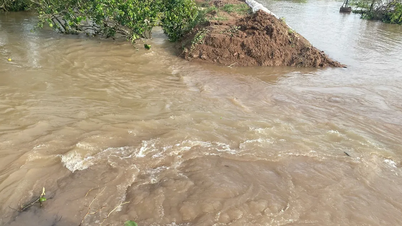
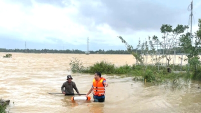
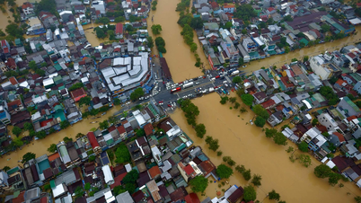
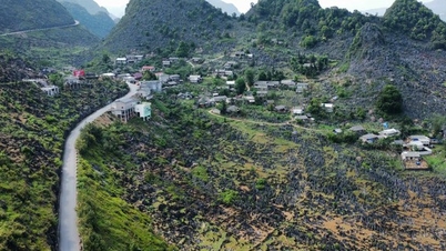
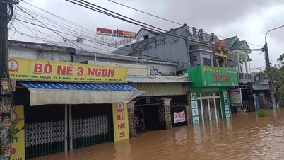
Widespread deep flooding continues in low-lying areas along rivers, inundation in urban areas, especially in communes and wards: Que Phuoc, Nong Son, Duy Xuyen, Thu Bon, Xuan Phu, Thanh My, Thuong Duc, Ha Nha, Phu Thuan, Vu Gia, Dai Loc, Go Noi, Dien Ban Tay, Dien Ban Bac, Hoa Tien, Hoi An, Hoi An Tay, Hoi An Dong, Nam Phuoc, Duy Nghia, An Thang, Ban Thach, Huong Tra, Quang Phu, Tay Ho, Thang Dien, Thang Truong,...
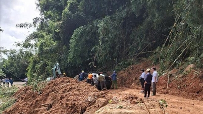
There is a very high risk of flash floods and landslides on steep slopes in mountainous areas. Beware of flooding in low-lying areas and urban areas; beware of tornadoes, lightning and strong gusts of wind during thunderstorms.
Source: https://baodanang.vn/dinh-lu-tren-song-thu-bon-vu-gia-thap-hon-dinh-lu-lich-su-3308526.html
![[Photo] President Luong Cuong attends the 80th Anniversary of the Traditional Day of the Armed Forces of Military Region 3](https://vphoto.vietnam.vn/thumb/1200x675/vietnam/resource/IMAGE/2025/10/28/1761635584312_ndo_br_1-jpg.webp)


![[Photo] Draft documents of the 14th Party Congress reach people at the Commune Cultural Post Offices](https://vphoto.vietnam.vn/thumb/1200x675/vietnam/resource/IMAGE/2025/10/28/1761642182616_du-thao-tai-tinh-hung-yen-4070-5235-jpg.webp)


![[Photo] The 5th Patriotic Emulation Congress of the Central Inspection Commission](https://vphoto.vietnam.vn/thumb/1200x675/vietnam/resource/IMAGE/2025/10/27/1761566862838_ndo_br_1-1858-jpg.webp)


Comment (0)