
 |
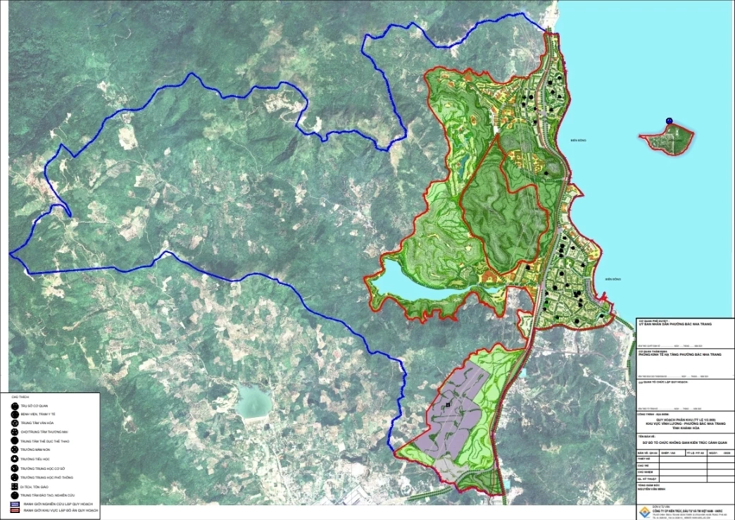
| Drawing of architectural landscape organization diagram of the planning area. |
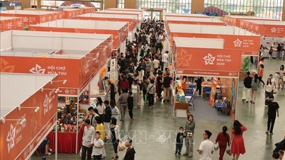
Accordingly, the Ward People's Committee requested the departments to coordinate in posting information, posting planning documents and opinion forms at the headquarters and electronic information portal of the Ward People's Committee; The Head of the Residential Group shall widely notify the residential community (in the planning area), and distribute opinion forms to individuals, organizations, and residential communities in the area. After receiving comments from the residential community, the number of ballots issued and collected shall be compiled and sent to the Department of Economics , Infrastructure and Urban Affairs to make a specific list when the deadline for collecting opinions expires. The time for collecting opinions is within 30 days, from October 16.
The planning area is located in the north of Bac Nha Trang ward, with a total area of about 3,828 hectares (of which the planning area is about 1,238 hectares; about 2,589 hectares is mountainous land, forestry land); the population size by 2040 is expected to be more than 28,200 people. Regarding the technical economic indicators for each type of land: Residential land with an area of nearly 112.2 hectares, accounting for about 9.06%; mixed residential and service land with an area of about 57.7 hectares, accounting for more than 4.6%; service and tourism land with an area of about 181.7 hectares, accounting for about 14.6%; public green land with an area of about 112.7 hectares, accounting for about 9.1%; traffic land with an area of about 114.5 hectares, accounting for about 9.25%...
MANH HUNG
Source: https://baokhanhhoa.vn/xa-hoi/202510/lay-y-kien-cong-dong-dan-cu-doi-voi-quy-hoach-phan-khu-khu-vuc-vinh-luong-500370f/
![[Photo] Prime Minister Pham Minh Chinh chaired a meeting to discuss solutions to overcome the consequences of floods in the central provinces.](https://vphoto.vietnam.vn/thumb/1200x675/vietnam/resource/IMAGE/2025/10/29/1761716305524_dsc-7735-jpg.webp)


![[Photo] Flooding on the right side of the gate, entrance to Hue Citadel](https://vphoto.vietnam.vn/thumb/1200x675/vietnam/resource/IMAGE/2025/10/28/1761660788143_ndo_br_gen-h-z7165069467254-74c71c36d0cb396744b678cec80552f0-2-jpg.webp)

![[Photo] National Assembly Chairman Tran Thanh Man received a delegation of the Social Democratic Party of Germany](https://vphoto.vietnam.vn/thumb/1200x675/vietnam/resource/IMAGE/2025/10/28/1761652150406_ndo_br_cover-3345-jpg.webp)


![[Photo] President Luong Cuong attends the 80th Anniversary of the Traditional Day of the Armed Forces of Military Region 3](https://vphoto.vietnam.vn/thumb/1200x675/vietnam/resource/IMAGE/2025/10/28/1761635584312_ndo_br_1-jpg.webp)
![[Photo] Draft documents of the 14th Party Congress reach people at the Commune Cultural Post Offices](https://vphoto.vietnam.vn/thumb/1200x675/vietnam/resource/IMAGE/2025/10/28/1761642182616_du-thao-tai-tinh-hung-yen-4070-5235-jpg.webp)


Comment (0)