
According to a quick report from the People's Committee of Hiep Hoa district and the Irrigation Sub-Department (Department of Agriculture and Environment), the landslide incident occurred from June 19, 2025 with a total length of about 150 m. Many consecutive landslides penetrated into the riverbank from 5 - 15 m, in some places up to 20 - 25 m deep, approaching the left edge of the Cau dike. The most dangerous landslide is about 30 m long, penetrated 15 m deep into the bank, only about 1 - 2 m from the edge of the dike, located near Mr. Ngo Van Truong's house. The water level in the area measured at the time of the landslide was about 4.8 m, combined with the terrain of the riverbank with a narrow channel, steep slope, and strong currents, leading to bank instability, and the risk of continued landslides.
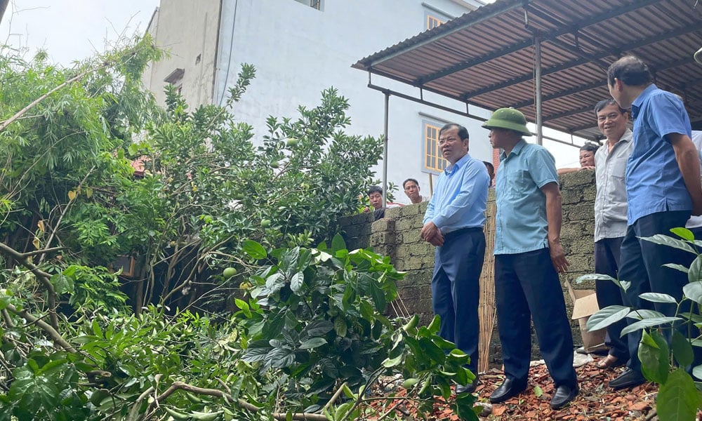 |
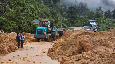
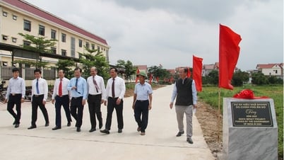
Vice Chairman of the Provincial People's Committee Phan The Tuan inspected the flooded and landslide area in Dai Tan village, Son Thinh commune (Hiep Hoa). |
The cause was determined to be due to the area's geology being weak sandy alluvial soil, with an unstable structure. On the other hand, the recent lack of rain and dry weather caused the soil to crack and lose cohesion. When heavy rains occurred in a short period of time, water seeped deep into the soil, combined with the constantly changing river water level, causing serious bank erosion.
After an on-site inspection, Vice Chairman of the Provincial People's Committee Phan The Tuan assessed that the landslide was located close to a residential area, directly affecting 3 households, with a high risk of landslides if there continued to be heavy rain or rising water. If this incident was not handled promptly, it could endanger people's safety and threaten the structure of the dike on the left side of the Cau River.
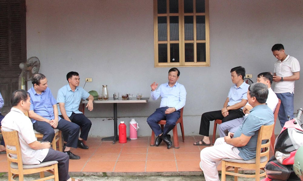 |
Comrade Phan The Tuan directed sectors and localities to closely monitor the situation and be ready to respond in case of emergency. |
The Vice Chairman of the Provincial People's Committee requested the Department of Agriculture and Environment, Hiep Hoa district and Son Thinh commune to closely monitor weather developments, Cau River water levels and landslides in high-risk areas, promptly detect, handle and report when unusual situations arise.
In the immediate future, the People's Committee of Son Thinh commune will put up warning signs, delineate dangerous landslide areas, and clear trees to ensure visibility and facilitate observation and movement. Temporarily relocate 3 households in high-risk areas out of the danger zone to ensure people's lives. The local government will continue to propagate and mobilize people to comply with regulations on dike protection and natural disaster prevention and control.
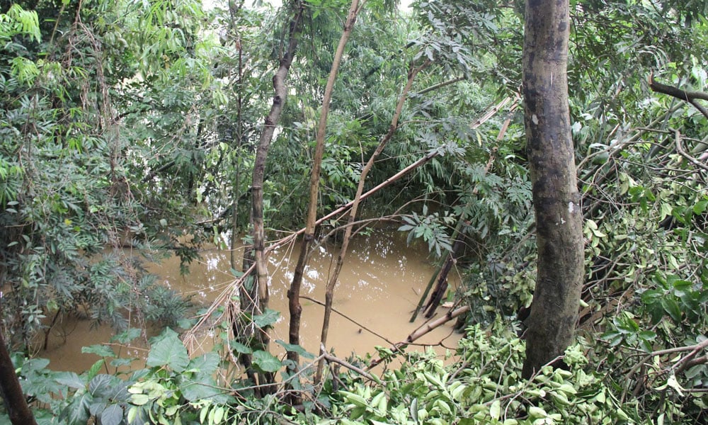 |
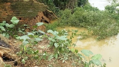
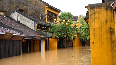
The left bank of Cau River, through Dai Tan village, Son Thinh commune (Hiep Hoa) was flooded close to residential areas. |
He emphasized that after the water recedes, the Irrigation Department will coordinate with the People's Committee of Hiep Hoa district and Son Thinh commune to carefully assess the geological status of the landslide area and the risk of recurrence, thereby proposing a comprehensive treatment plan to ensure long-term safety for the dike system and residential areas near the riverbank. The People's Committee of Hiep Hoa district needs to proactively mobilize forces, materials, and means to be ready to respond when an emergency occurs; absolutely not allowing damage to people and property.
Source: https://baobacgiang.vn/pho-chu-tich-ubnd-tinh-phan-the-tuan-kiem-tra-khu-vuc-bi-sat-lo-de-tai-huyen-hiep-hoa-postid420594.bbg


![[Photo] General Secretary To Lam and National Assembly Chairman Tran Thanh Man attend the 80th Anniversary of the Traditional Day of the Vietnamese Inspection Sector](https://vphoto.vietnam.vn/thumb/1200x675/vietnam/resource/IMAGE/2025/11/17/1763356362984_a2-bnd-7940-3561-jpg.webp)


Comment (0)