
Every human movement, every vehicle journey, every urban event generates a stream of data reflecting the rhythm and dynamic structure of the city.
Change your perspective on the data.
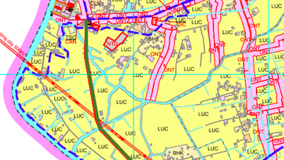
When urban areas grow faster than their physical infrastructure can expand, and every bottleneck becomes a social cost, the only approach to effective planning and operation is to view traffic as two parallel layers: the physical layer we see; and the data layer we must understand. This leads to a new principle: all physical traffic planning must be based on a deep understanding of data flow; and all physical bottlenecks must be mitigated by data before any expansion or new construction can be considered.
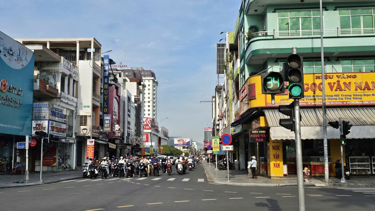
If we ignore the data and only observe with the naked eye, traffic will always look like a chaotic, unpredictable series. But when data streams from cameras, IoT, GPS, digital maps, public transport, and urban infrastructure are integrated, we see a different picture. The physical traffic flow is actually formed from data about behavior: who goes where, at what time, on which route, and for what reason; what is baseline traffic, what is seasonal fluctuation; what are the real bottlenecks, and what are just localized phenomena.
Data helps us distinguish between cause and effect; otherwise, we easily plan based on the surface while ignoring the underlying issues. Therefore, modern transportation planning cannot continue to rely on static surveys or linear models, but must be based on dynamic data analysis, in real time and over long-term cycles.
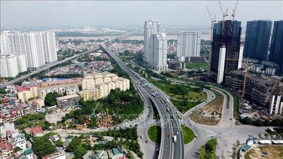
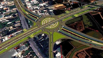
Once the data is collected and standardized, the next step is to model movement behavior and simulate planning scenarios. Micro-simulation and multi-agent modeling technologies allow for the recreation of how hundreds of thousands of vehicles interact with each other every second. These models verify how a new route, a modified interchange, or a dedicated bus lane will create ripple effects. In other words, data shifts planning from a speculative state to a validated state. Only when options are simulated and proven in a digital environment can the city make confident physical investment decisions, avoiding mistakes that could last for decades.
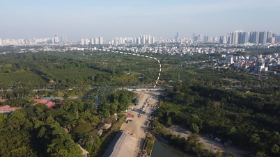
However, even with proper planning, physical infrastructure has limitations. A road cannot be widened instantly, a bridge cannot be built in just a few months, and public budgets do not allow for the expansion of every bottleneck. Here, data continues to play the role of soft infrastructure, enveloping and enhancing the capacity of hard infrastructure.
When data-driven forecasting systems can identify bottlenecks 10-30 minutes before they form, cities have the ability to implement soft interventions: adjusting traffic light cycles, reversing lanes, establishing green light signals, remotely dispersing traffic flow via digital maps, or suggesting alternative routes directly to citizens' phones. These measures are effective because they influence behavior and demand – two factors that determine traffic flow patterns. In fact, studies show that if just 10-15% of commuters change their timing or route choices, bottlenecks can be resolved without opening a single meter of road.
We need to focus on soft solutions.
The key is that data not only helps with immediate operations but also forms the foundation for long-term demand management. Tokyo (Japan) reduces congestion not by building new roads, but by analyzing train ticket data by hour and adjusting schedules to distribute demand. Singapore uses ERP to distribute demand based on price. Seoul (South Korea) uses AI to optimize traffic light cycles to reduce the load on intersections without expanding. Los Angeles (USA) operates 4,500 intersections from a single data center. Copenhagen (Denmark) uses bicycle and meteorological data to prioritize slow traffic flow during peak hours. These cities all demonstrate that softening bottlenecks with data is far more effective and cheaper than building hard infrastructure.
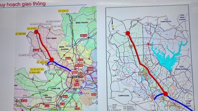
For data to truly become soft infrastructure, cities need a unified data architecture: an Urban Mobility Data Hub as the central hub; a Digital Twin for transportation simulation and testing; an AI Traffic Engine for real-time optimization; and intelligent transportation systems (ITS) for continuous data collection. In addition, institutions must adapt: mandating the use of data and simulation in planning, requiring data sharing between agencies and transportation businesses, standardizing APIs, and establishing sandboxes to pilot new traffic organization models.
When soft infrastructure and institutions are compatible, cities can continuously improve traffic flow through soft solutions without relying solely on hard infrastructure investment. When data is used to control smart traffic lights, flexible lane allocation, early warning systems, and route suggestions, cities can not only reduce congestion but also enhance safety in extreme weather conditions – something hard infrastructure alone cannot address.
All of the above leads to a unified conclusion: transportation is no longer a race to build roads, but a race to capture and organize the flow of data. Physical infrastructure is the foundation, but data infrastructure is the capability. Cities that master data will master how people move, avoid the social costs of congestion, increase economic efficiency, and improve the quality of life. Therefore, in modern cities, transportation planning must be based on a deep understanding of data flow; and all physical bottlenecks must be mitigated by data before any expansion can be considered.
Source: https://baodanang.vn/quy-hoach-van-hanh-giao-thong-bang-du-lieu-3314724.html


Comment (0)