
Optimum distance
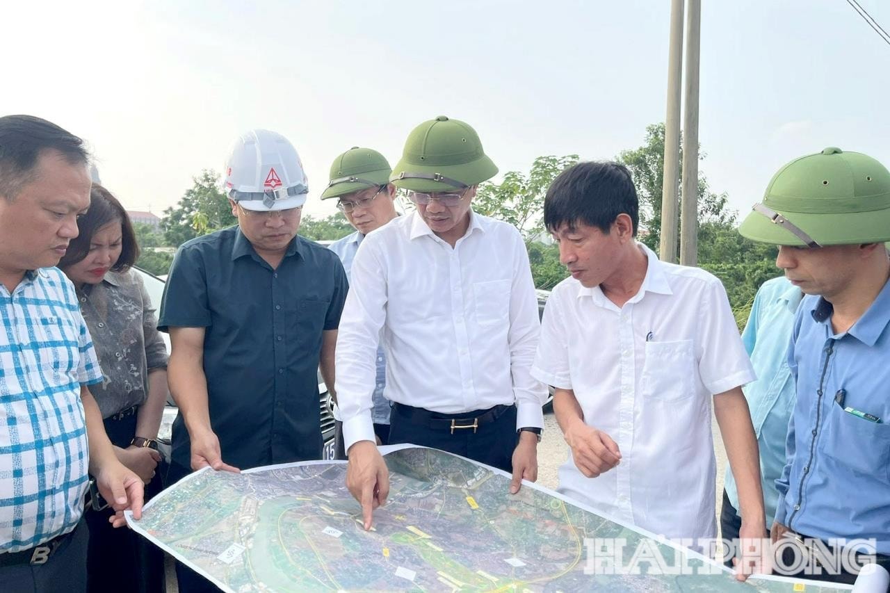
According to the report of the Party Committee of Hai Phong City People's Committee, the route is about 23.5 km long, starting at the intersection between Ring Road 1 (old Hai Duong city) and the approach road to Bui Thi Xuan bridge, ending at the intersection of National Highway 10 with Nguyen Truong To street.
The route is carefully studied according to the principle of shortest and straightest, avoiding concentrated residential areas as much as possible, while taking advantage of the space on both sides of the corridor to exploit land funds, develop urban and industrial areas.
From provincial road 390 (km2+600) to bypass 390B (km7+250), the route goes west, avoiding the densely populated area of the old Thanh Ha town (now Thanh Ha commune), closely following the south of the Huong river, passing through the agricultural cultivation area and the area oriented for ecological urban development. The route crosses the Huong river and bypass 390B, connecting with the grade-separated intersection at the bypass of provincial road 390B under construction.
Next, from bypass 390B (km7+250) to provincial road 388 (km11+100), the route passes through agricultural land areas of Ha Nam and Ha Bac communes, crosses Huong River, and connects to the intersection of provincial road 388.
The section from Provincial Road 388 (km11+100) to Kim Thanh East-West axis (km18+200), the route crosses Rang River, goes along the South of Kim Thanh commune, mainly through cultivated land, avoiding concentrated residential areas, connecting Kim Thanh 2 industrial park and intersecting Kim Thanh East-West axis.
From the East - West Kim Thanh axis to National Highway 17B (km21 + 300) and the end point at the intersection of National Highway 10 - Nguyen Truong To, the route crosses Mia River, passes through An Duong ward, coincides with the new urban planning direction, connecting An Duong Industrial Park.
The route passes through 9 communes and wards including: Nam Dong, Ai Quoc, Ha Tay, Thanh Ha, Ha Bac, Ha Nam, Kim Thanh, An Phong, An Duong.
The route is designed with a cross-section of 68 m, with a management marker of 110 m to reserve space for future expansion. At the same time, the report proposes a specific scale: the main road for cars with a design speed of over 80 km/h, 30 m wide, with 6 lanes; two parallel roads on both sides for vehicles with a speed of under 60 km/h, 19 m wide; the median strip between the parallel road and the main road is about 4 m... In particular, the 15 m wide reserve median strip will be oriented to develop modern public transport methods such as ART, BRT... to meet the trend of smart cities in the future.
The total investment of the project is about 19,128 billion VND, proposed to be invested in the form of public-private partnership, BT contract (payment by land fund), using 100% of capital mobilized by investors. At the meeting of the Standing Committee of the City Party Committee, on the basis of high consensus on the policy, the Secretary of the City Party Committee assigned the Party Committee of the City People's Committee to direct the implementation of the next procedures to invest in the construction of the road in accordance with regulations.
Regional connectivity driving force, opening new development space
Not only connecting traffic, the East - West route is also a strategic development axis, shaping the development space of Hai Phong after the merger. When completed, the route will be directly connected with existing arterial axes such as Provincial Road 390, Provincial Road 388, National Highway 17B, National Highway 10, and at the same time synchronously connected with the old Hai Duong city belt 1, the capital region belt 5, Hanoi - Hai Phong expressway, Hai Phong port area, creating regional links, developing industrial parks, urban areas, commercial services, exploiting land and land funds on both sides.
More importantly, the route will connect two major urban centers (the central urban area is Hai Phong and the satellite urban area is the old Hai Duong) with an area of influence of about 1.7 million people, contributing to shortening travel time, optimizing logistics costs, and improving investment and trade efficiency.
It is expected that the city will orientate the exploitation of land funds on both sides of the route to maximize the advantages of location and new development space. On that basis, it will plan to form concentrated industrial parks, ecological urban areas combined with high-tech agriculture, modern commercial and service urban areas, creating a chain of interconnected development spaces, synchronous technical infrastructure and social infrastructure.
The plan for arranging industrial zones is being studied in the direction of convenient connection with external traffic axes, especially the 5th ring road of the Capital region, the Hanoi - Hai Phong highway and central routes, ensuring favorable conditions to attract investors and high-quality human resources. In parallel, new residential and urban areas will be developed in the direction of expanding the urban space of the old Hai Duong city, associated with serving industrial zones.
According to calculations, it is expected that the land fund that can be exploited and developed will be about 11,777 hectares, creating a huge resource to attract investment and develop urban, industrial, trade and services.
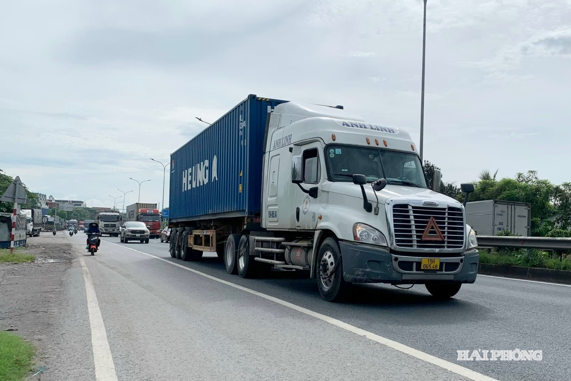
With a modern scale, long-term vision, and optimal distance and travel time, the route not only expands development space, forming new land funds on both sides of the corridor to effectively exploit potential and attract investment, but also contributes to reducing the load on key routes, especially National Highway 5, creating a synchronous connection between intra-regional and inter-regional traffic.
HA NGASource: https://baohaiphong.vn/tuyen-duong-ket-noi-dong-tay-hai-phong-kien-tao-dong-luc-tang-truong-moi-524441.html


![[Photo] General Secretary To Lam meets with General Secretary and President of Laos Thongloun Sisoulith](https://vphoto.vietnam.vn/thumb/1200x675/vietnam/resource/IMAGE/2025/10/25/1761380913135_a1-bnd-4751-1374-7632-jpg.webp)


![[Photo] President Luong Cuong receives heads of delegations attending the signing ceremony of the Hanoi Convention](https://vphoto.vietnam.vn/thumb/1200x675/vietnam/resource/IMAGE/2025/10/25/1761377309951_ndo_br_1-7006-jpg.webp)

![[Photo] President Luong Cuong and United Nations Secretary-General Antonio Guterres chaired the signing ceremony of the Hanoi Convention.](https://vphoto.vietnam.vn/thumb/1200x675/vietnam/resource/IMAGE/2025/10/25/1761370409249_ndo_br_1-1794-jpg.webp)


![[Photo] General Secretary To Lam receives United Nations Secretary-General Antonio Guterres](https://vphoto.vietnam.vn/thumb/402x226/vietnam/resource/IMAGE/2025/10/25/1761379090768_image.jpeg)


Comment (0)