
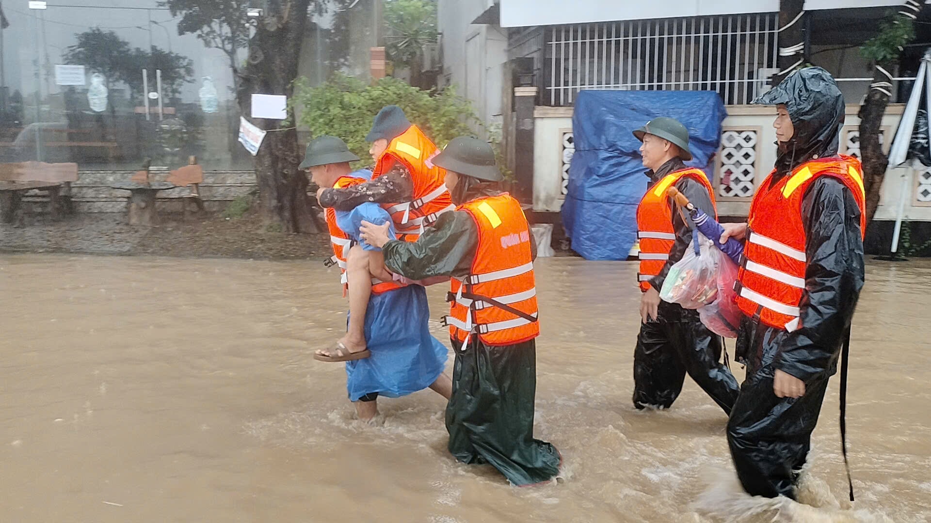
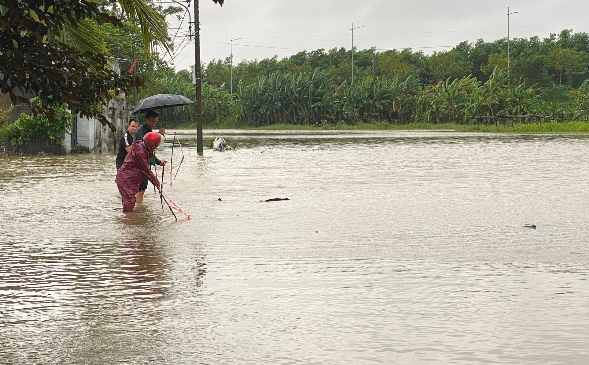
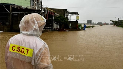
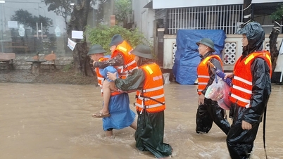
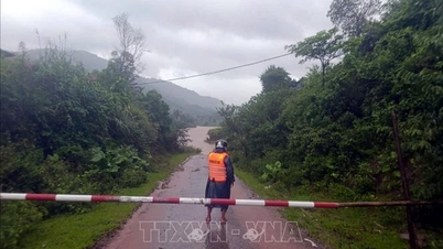
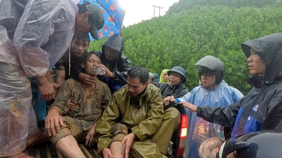
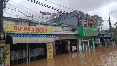
According to updated data from flood warning towers and inundation warning towers in Da Nang city at 6:00 a.m. on October 28, except for Cam Chau area in Hoi An Dong ward which was flooded 2.24m deep, Dong Binh village (Duy Vinh) in Nam Phuoc commune was flooded 1.98m deep, Kieu Chau village (Duy Son) in Duy Xuyen commune was 1.93m deep, Cam Kim area in Hoi An ward was 1.75m deep, La Bong village and An Trach village in Hoa Tien commune were 1.11m deep...
Thang Long Street under the Red Bridge in Cam Le Ward is flooded 1 meter deep, Phuoc Thien Pagoda in Hoa Tien Commune is 0.95 meters deep, Cam Ne Village in Hoa Tien Commune is 0.88 meters deep...
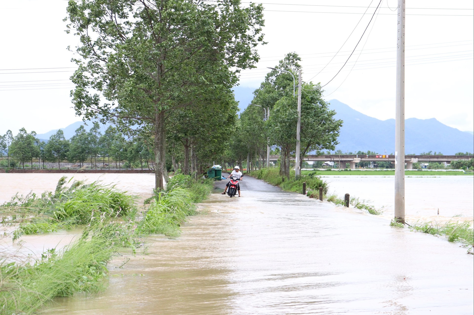
The above mentioned areas are deeply flooded due to floods from the Vu Gia and Thu Bon river systems that continue to rise (large flood flows from upstream as well as impacts from the operation of hydroelectric reservoirs).
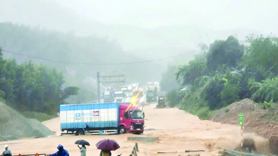
By 8:00 a.m. on October 28, the total discharge from hydroelectric reservoirs to Vu Gia and Thu Bon rivers reached 6,500m 3 /s (discharge to Vu Gia river was more than 3,533m 3 /s and Thu Bon river was more than 2,966m 3 /s).
Although the total discharge is lower than the peak at 10:00 p.m. on October 27 (8,500 m3 /s), currently the A Vuong and Dak Mi 4 hydropower reservoirs are both full; the Song Bung 4 and Song Tranh 2 hydropower reservoirs are only about 40 cm from the normal water level, so they are focusing on operating to ensure reservoir safety, and are almost no longer able to regulate floods.
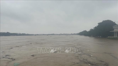
The area of Cam Toai Trung village (Hoa Phong) in Hoa Vang commune is 1.6m deep; the Thai Lai intersection, Thai Lai village (Hoa Nhon), Thach Nham Tay village (Hoa Nhon) in Ba Na commune are 1m, 0.45m and 0.81m deep respectively; Thach Bo and Bo Ban villages (Hoa Phong) in Hoa Vang commune are 0.57m and 0.37m deep respectively.
In addition, floods on the Cu De River are inundating the Loc My and Nam Yen (Hoa Bac) areas of Hai Van ward, with depths of 0.52m and 0.12m respectively.
Flood water levels in all of the above-mentioned deeply flooded areas continue to rise due to large flood flows from upstream.
Source: https://baodanang.vn/da-nang-sang-28-10-nhieu-khu-vuc-ha-du-van-ngap-sau-lu-dang-len-cham-3308505.html

![[Photo] Draft documents of the 14th Party Congress reach people at the Commune Cultural Post Offices](https://vphoto.vietnam.vn/thumb/1200x675/vietnam/resource/IMAGE/2025/10/28/1761642182616_du-thao-tai-tinh-hung-yen-4070-5235-jpg.webp)
![[Photo] Flooding on the right side of the gate, entrance to Hue Citadel](https://vphoto.vietnam.vn/thumb/1200x675/vietnam/resource/IMAGE/2025/10/28/1761660788143_ndo_br_gen-h-z7165069467254-74c71c36d0cb396744b678cec80552f0-2-jpg.webp)


![[Photo] National Assembly Chairman Tran Thanh Man received a delegation of the Social Democratic Party of Germany](https://vphoto.vietnam.vn/thumb/1200x675/vietnam/resource/IMAGE/2025/10/28/1761652150406_ndo_br_cover-3345-jpg.webp)


![[Photo] President Luong Cuong attends the 80th Anniversary of the Traditional Day of the Armed Forces of Military Region 3](https://vphoto.vietnam.vn/thumb/1200x675/vietnam/resource/IMAGE/2025/10/28/1761635584312_ndo_br_1-jpg.webp)


Comment (0)