
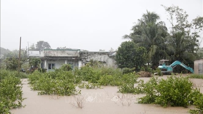
According to updated data from flood and inundation monitoring towers in Da Nang city at 6:00 AM on October 28th, except for Cam Chau area in Hoi An Dong ward which is flooded to a depth of 2.24m, Dong Binh village (Duy Vinh) in Nam Phuoc commune is flooded to a depth of 1.98m, Kieu Chau village (Duy Son) in Duy Xuyen commune is flooded to a depth of 1.93m, Cam Kim area in Hoi An ward is flooded to a depth of 1.75m, La Bong and An Trach villages in Hoa Tien commune are flooded to a depth of 1.11m…
Thang Long Street under the Red Bridge in Cam Le ward is flooded to a depth of 1 meter, Phuoc Thien Pagoda in Hoa Tien commune is flooded to a depth of 0.95 meters, Cam Ne village in Hoa Tien commune is flooded to a depth of 0.88 meters…
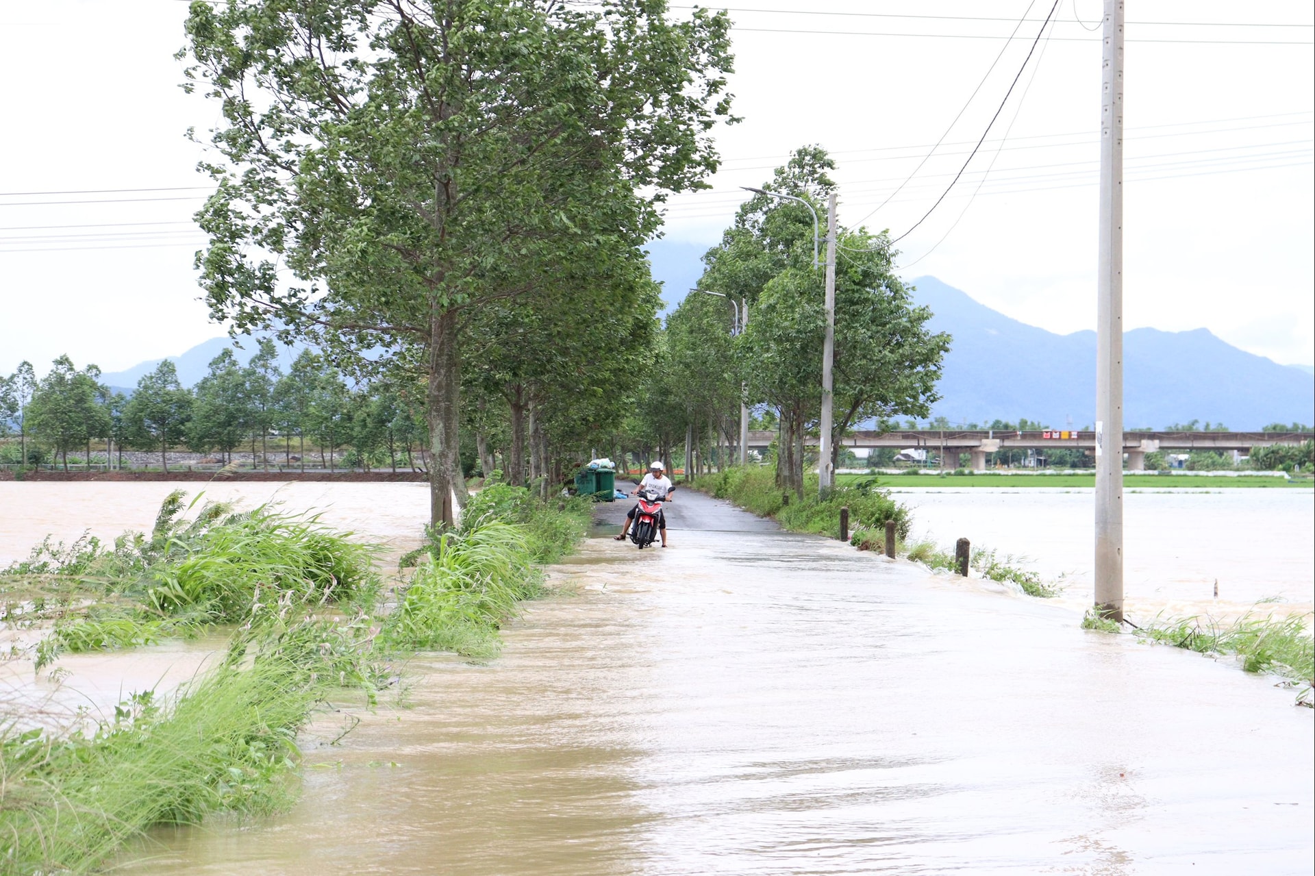
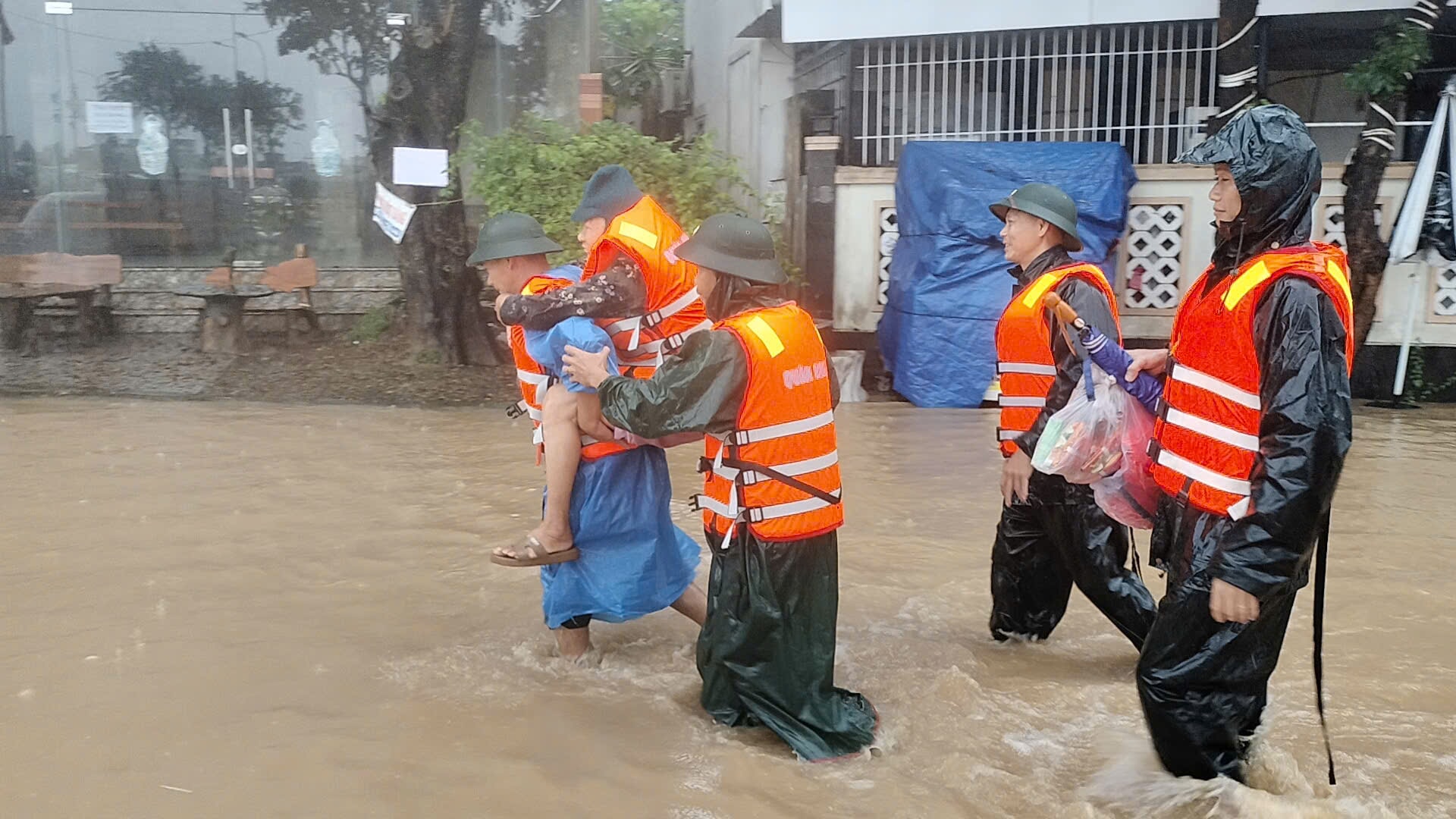
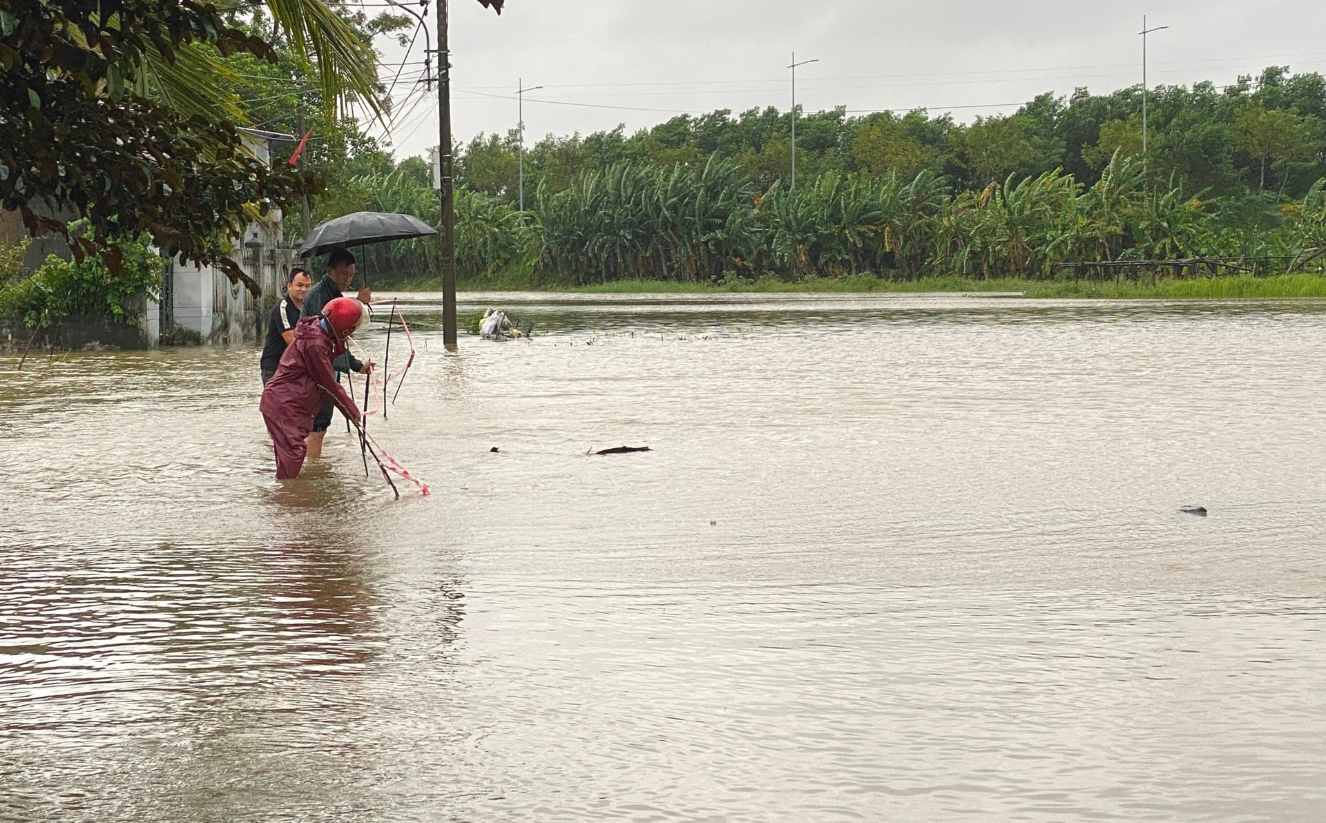
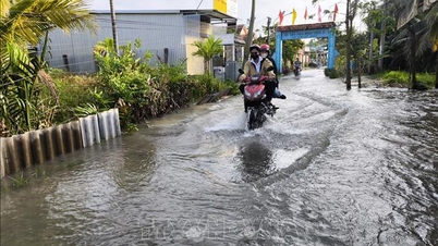
The aforementioned areas are severely flooded due to rising water levels from the Vu Gia and Thu Bon river systems (large flood flows from upstream as well as the impact of hydroelectric dam operation).
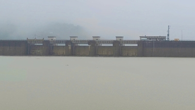
By 8:00 AM on October 28th, the total discharge from hydropower reservoirs into the Vu Gia and Thu Bon rivers reached 6,500 m³ /s (over 3,533 m³ /s discharged into the Vu Gia river and over 2,966 m³ /s into the Thu Bon river).
Although the total discharge flow is lower than the peak at 10 PM on October 27th (8,500 m³ /s), the A Vuong and Dak Mi 4 hydropower reservoirs are now full; the Song Bung 4 and Song Tranh 2 hydropower reservoirs are only about 40cm away from their normal water levels, so they are focusing on operating to ensure reservoir safety and have almost no capacity left to regulate floods.
The water depth in Cam Toai Trung hamlet (Hoa Phong district) in Hoa Vang commune is 1.6m; at Thai Lai intersection, Thai Lai hamlet (Hoa Nhon district), and Thach Nham Tay hamlet (Hoa Nhon district) in Ba Na commune, the depths are 1m, 0.45m, and 0.81m respectively; and in Thach Bo and Bo Ban hamlets (Hoa Phong district) in Hoa Vang commune, the depths are 0.57m and 0.37m respectively.
Additionally, flooding on the Cu De River is causing inundation in the Loc My and Nam Yen (Hoa Bac) areas of Hai Van ward, with water levels reaching 0.52m and 0.12m respectively.
Floodwaters in all the aforementioned deeply flooded areas are continuing to rise due to the large volume of floodwater flowing in from upstream.
Source: https://baodanang.vn/sang-28-10-nhieu-khu-vuc-ha-du-van-ngap-sau-lu-dang-len-cham-3308505.html


Comment (0)