
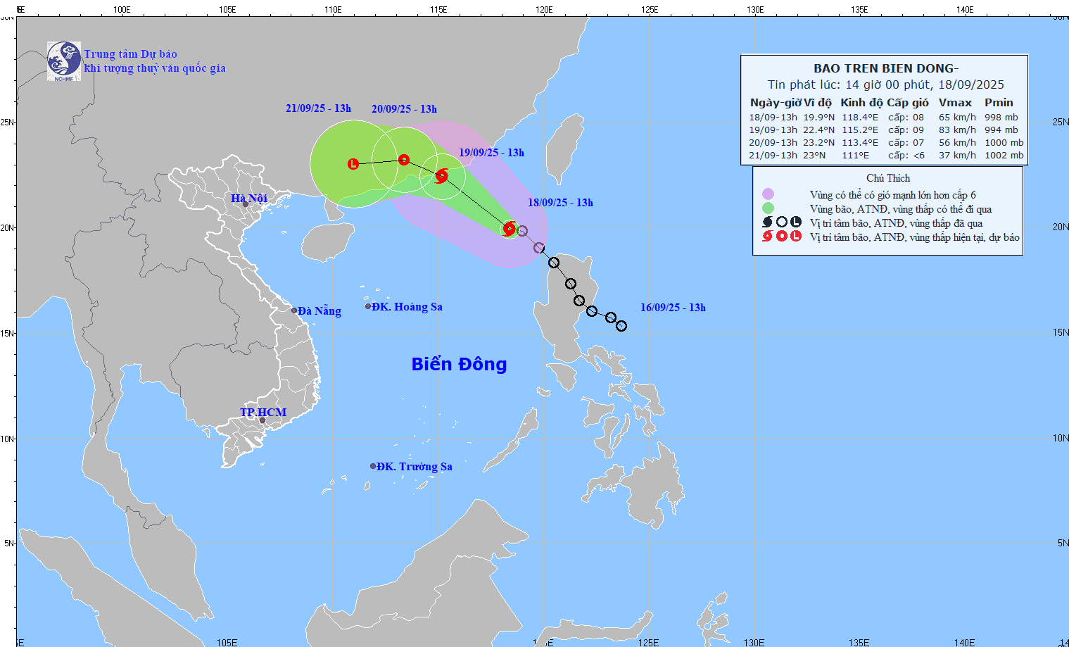
At 13:00, the typhoon's center was located at approximately 19.9 degrees North latitude and 118.4 degrees East longitude, in the northeastern part of the South China Sea. The strongest winds near the center of the typhoon were at level 8 (62-74 km/h), with gusts up to level 10. It was moving northwest at a speed of 15-20 km/h.
Forecasts indicate that by 13:00 on September 19th, the storm will move northwest at a speed of approximately 15 km/hour and continue to intensify. Its position will be at 22.4N-115.2E, over the southern coastal area of Guangdong province (China). The storm's intensity will be level 9, with gusts up to level 11. The dangerous zone is north of latitude 18.50N and east of longitude 113.50E. The level of natural disaster risk is level 3, and the affected area will be the northeastern part of the South China Sea.
By 13:00 on September 20th, the storm was moving west-northwest at a speed of approximately 10 km/h, making landfall and weakening into a tropical depression. Its position was at 23.2N-113.4E; over land in southern Guangdong province, with a strength of level 7, gusts up to level 10. The danger zone was north of latitude 21.00N; longitude 113.0-117.50E, with a natural disaster risk level of 3. The affected area was the northern part of the North East Sea.
By 13:00 on September 21st, the storm was moving westward at approximately 10 km/hour and gradually weakening into a low-pressure area, located at 23.0N-111.0E; over land in the southwestern part of Guangdong province, with the storm's intensity below level 6.
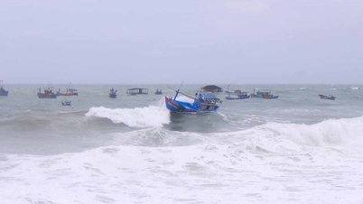
Due to the influence of the storm, the northeastern part of the North East Sea will experience strong winds of force 6-7, gusting to force 9; near the storm's center, winds will be strong at force 8-9, gusting to force 11, with waves 3-5 meters high. The sea will be very rough. Vessels operating in these dangerous areas are likely to be affected by thunderstorms, tornadoes, strong winds, and high waves.
Source: https://baotintuc.vn/xa-hoi/bao-mitag-giat-cap-10-di-chuyen-theo-huong-tay-bac-20250918151051924.htm
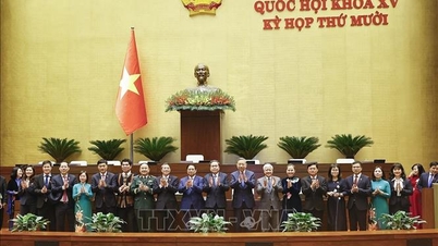
![[Photo] Closing Ceremony of the 10th Session of the 15th National Assembly](/_next/image?url=https%3A%2F%2Fvphoto.vietnam.vn%2Fthumb%2F1200x675%2Fvietnam%2Fresource%2FIMAGE%2F2025%2F12%2F11%2F1765448959967_image-1437-jpg.webp&w=3840&q=75)
![[Photo] Prime Minister Pham Minh Chinh holds a phone call with the CEO of Russia's Rosatom Corporation.](/_next/image?url=https%3A%2F%2Fvphoto.vietnam.vn%2Fthumb%2F1200x675%2Fvietnam%2Fresource%2FIMAGE%2F2025%2F12%2F11%2F1765464552365_dsc-5295-jpg.webp&w=3840&q=75)


![[OFFICIAL] MISA GROUP ANNOUNCES ITS PIONEERING BRAND POSITIONING IN BUILDING AGENTIC AI FOR BUSINESSES, HOUSEHOLDS, AND THE GOVERNMENT](https://vphoto.vietnam.vn/thumb/402x226/vietnam/resource/IMAGE/2025/12/11/1765444754256_agentic-ai_postfb-scaled.png)


Comment (0)