
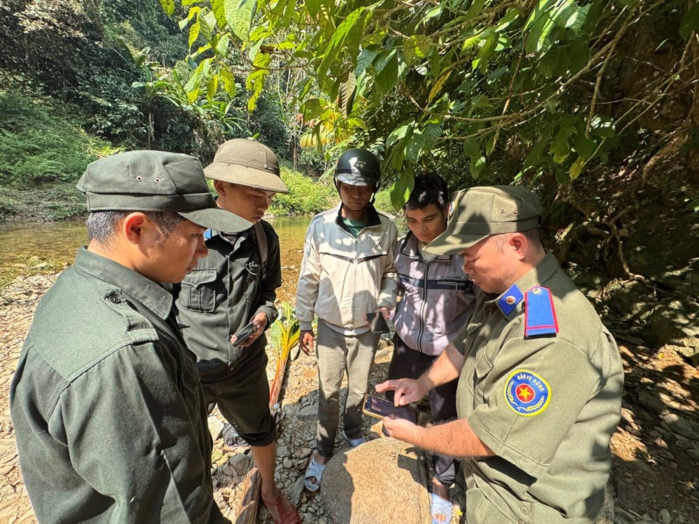
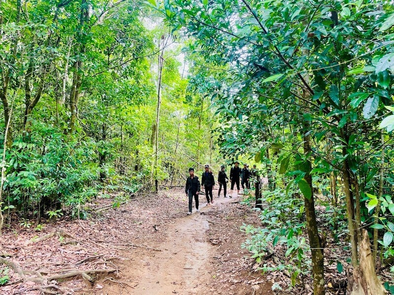
In the Tra Veo protective forest area, the Tra Veo village forest protection community group, Tay Tra commune, promoted the Smart application on smartphones to start patrols. Previously, all information and data of each forest patrol were recorded by hand, but now, just open the Smart application on the phone to update all information.
Head of the Tra Veo Village Forest Protection Community Team, Ho Van Sau, shared that on each patrol, the application will record information about the route, forest area, and sub-area that the team has passed through. When detecting animal traps, traces of animals, strangers in the forest or the risk of encroachment, forest fires... members of the patrol team can quickly update the application to serve as a basis for reporting.
"Thanks to that, thousands of hectares of forest assigned to the community here are strictly protected, without forest fires or deforestation," said Mr. Sau.
Mr. Chau Van Tao, an employee of the Forest Protection Management Station in the western Tra Bong area, said that up to now, most members of the forest protection community group in the area have mastered the Smart application. With this application, the management agency will know which coordinates and sub-areas the members of the forest protection community group are patrolling, avoiding the case where the community receiving the contract does not patrol but still declares that they are patrolling.
The whole province has more than 1.06 million hectares, of which protective forests cover more than 308,700 hectares, special-use forests cover more than 93,200 hectares, production forests cover more than 663,300 hectares, not including planted forests that have not yet become forests and other bare land areas.
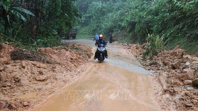
Mr. Nguyen Khanh Ngoc, Deputy Head of the Quang Ngai Provincial Forest Protection Department, said that after merging administrative units, forest management in the province encountered many difficulties due to large forest areas, complex terrain, staff reduction and climate differences between the two regions.
Specifically, when Quang Ngai (old) entered the hot season, the Kon Tum area (old), with its high terrain, often had rain and vice versa, so at first, the work of managing, forecasting and warning of forest fires encountered many difficulties.
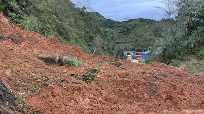
In 2025, Quang Ngai province had 2 forest fires including: the fire at plot 01, sub-zone 273, Tu Mo Rong commune, with an area of 16.35 hectares of uncultivated forest and the fire at plots 7, 9, sub-zone 568, Dak Ro Wa commune with an area of about 1.6 hectares of vegetation. Both fires did not cause damage to the forest.
“Currently, the Forest Protection Department is testing 5 thermal and smoke sensors to warn of forest fires early in 5 areas at high risk of fire in the province. With this device, the control area can be up to several hundred hectares. At the same time, 17 flycams are equipped to serve forest patrols, monitor forest resources and command forest fire fighting,” said Mr. Khanh.
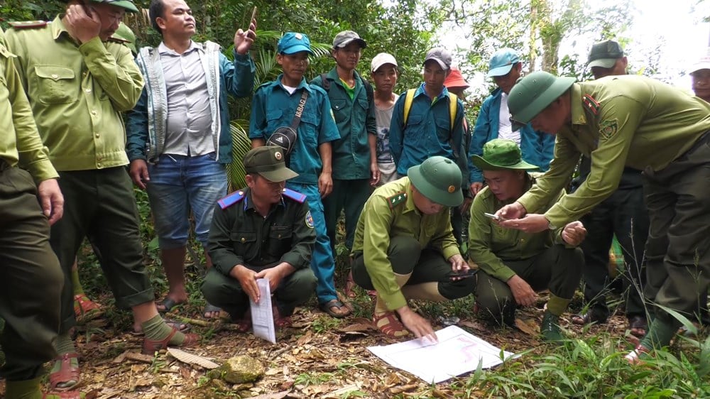
Along with digitizing patrol data, the provincial forestry sector also actively applies Mapinfo, Microstation, Flycam, QGIS, FRMS software and remote sensing technology to monitor the entire area of natural forests from above. These data support determining forest status, monitoring changes, forest fires and serving payments for forest environmental services...
According to the Provincial Forest Protection Department, the application of science and technology has been actively supporting the provincial forest protection force in performing the tasks of forest management, protection and forest fire prevention and control, contributing to preventing negative changes that damage forest resources.
Thanks to that, the forest area is increasingly managed and protected more closely. In the coming time, the Department will deploy training courses on the application of digital technology in forest management and protection, promoting the highest efficiency of the equipped machinery and technological equipment.
Source: https://baovanhoa.vn/nhip-song-so/quan-ly-bao-ve-rung-tren-khong-gian-so-156840.html
![[Photo] Ca Mau "struggling" to cope with the highest tide of the year, forecast to exceed alert level 3](https://vphoto.vietnam.vn/thumb/1200x675/vietnam/resource/IMAGE/2025/11/04/1762235371445_ndo_br_trieu-cuong-2-6486-jpg.webp)
![[Photo] Ho Chi Minh City Youth Take Action for a Cleaner Environment](https://vphoto.vietnam.vn/thumb/1200x675/vietnam/resource/IMAGE/2025/11/04/1762233574890_550816358-1108586934787014-6430522970717297480-n-1-jpg.webp)
![[Photo] The road connecting Dong Nai with Ho Chi Minh City is still unfinished after 5 years of construction.](https://vphoto.vietnam.vn/thumb/1200x675/vietnam/resource/IMAGE/2025/11/04/1762241675985_ndo_br_dji-20251104104418-0635-d-resize-1295-jpg.webp)

![[Photo] Panorama of the Patriotic Emulation Congress of Nhan Dan Newspaper for the period 2025-2030](https://vphoto.vietnam.vn/thumb/1200x675/vietnam/resource/IMAGE/2025/11/04/1762252775462_ndo_br_dhthiduayeuncbaond-6125-jpg.webp)


Comment (0)