
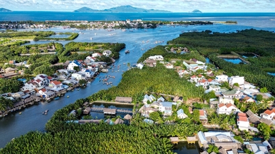
Observations in the Nhu Nguyet street area (Hai Chau ward) show that large waves continuously appear due to the Han River flowing back from the sea, crashing violently against the embankment and causing many strong impacts. Several lampposts, benches, and sidewalks were damaged, and many sections of the railings were knocked down.
. Photo: Xuan Quynh")
In response to this situation, authorities mobilized personnel and equipment, using bags of rocks and sandbags for initial remediation at high-risk areas. However, large waves continued to surge in, hindering remediation efforts.

Currently, barricades have been erected along Nhu Nguyet road to restrict people's access to the dangerous area due to the risk of deep flooding and the presence of debris and rocks.

According to the Central Vietnam Meteorological and Hydrological Station, on the morning of October 23, the tropical depression (weakened from typhoon No. 12) dissipated into a low-pressure area after entering the coastal area of Hue - Da Nang. Over the next 12 hours, the low-pressure area will continue to move southwest and gradually dissipate further.

Forecasts indicate that from the night of October 23rd to noon on October 25th, Da Nang is likely to experience moderate to heavy rain and thunderstorms, with rainfall amounts generally ranging from 150–300mm, and exceeding 400mm in some mountainous areas in the South. A high-intensity heavy rain warning (over 120mm in 3 hours) is issued, concentrated from early morning on October 24th to the morning of October 25th.
Source: https://www.sggp.org.vn/khac-phuc-bo-song-han-hu-hong-do-song-lon-post819504.html


![[Photo] Explore the US Navy's USS Robert Smalls warship](/_next/image?url=https%3A%2F%2Fvphoto.vietnam.vn%2Fthumb%2F1200x675%2Fvietnam%2Fresource%2FIMAGE%2F2025%2F12%2F10%2F1765341533272_11212121-8303-jpg.webp&w=3840&q=75)

![[Photo] The captivating scenery of the fragrant maple forest in Quang Tri](/_next/image?url=https%3A%2F%2Fvphoto.vietnam.vn%2Fthumb%2F1200x675%2Fvietnam%2Fresource%2FIMAGE%2F2025%2F12%2F10%2F1765353233198_lan09046-jpg.webp&w=3840&q=75)


![[Video] The craft of making Dong Ho folk paintings has been inscribed by UNESCO on the List of Crafts in Need of Urgent Safeguarding.](https://vphoto.vietnam.vn/thumb/402x226/vietnam/resource/IMAGE/2025/12/10/1765350246533_tranh-dong-ho-734-jpg.webp)


Comment (0)