
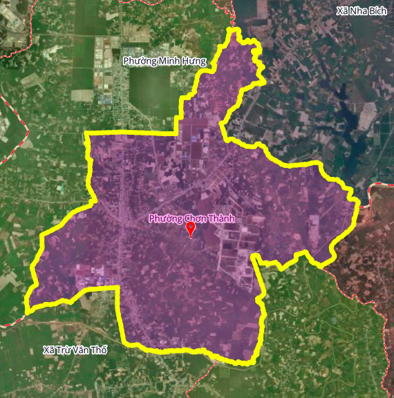
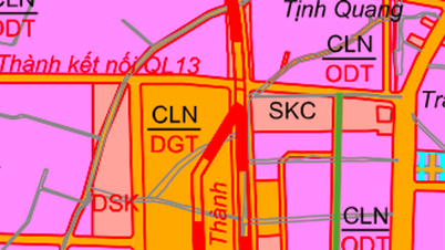
According to the revised land use planning map for Chơn Thành town, Bình Phước province, up to 2030, Chơn Thành ward will have several new roads to improve transportation infrastructure and promote socio-economic development. Among these, three roads are particularly noteworthy and have been detailed in the planning.
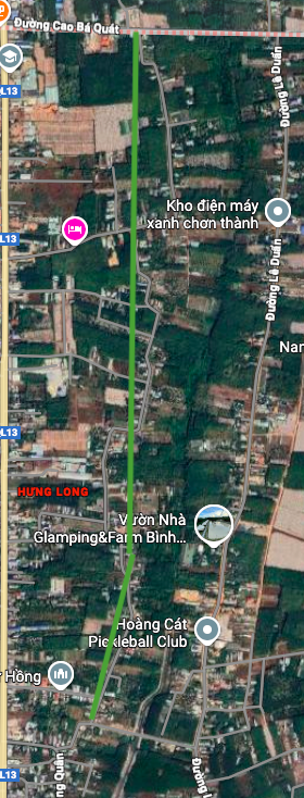
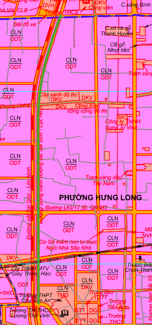
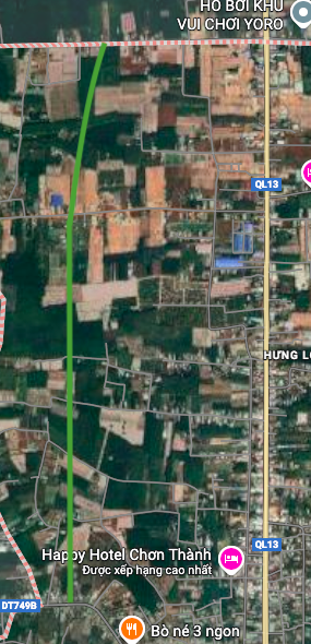
1. Road parallel to National Highway 13
This road is planned to run almost parallel to National Highway 13, situated between National Highway 13 and Le Duan Street. The starting point is at Cao Ba Quat Street, with a projected total length of approximately 2.8 km. This road is expected to alleviate traffic congestion on National Highway 13 and enhance regional connectivity.
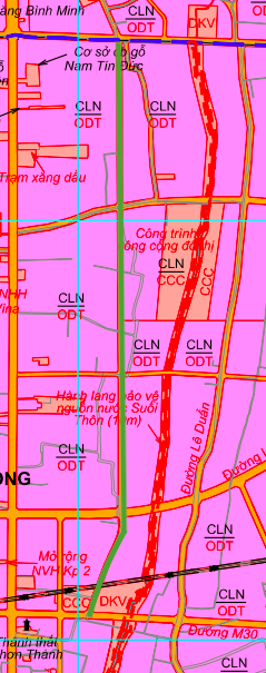
2. Parallel railway line between Saigon and Loc Ninh
This road is planned to run parallel to the Saigon – Loc Ninh railway line. Within the ward, this road also runs almost parallel to National Highway 13, starting at Provincial Road 749B, near Luong The Vinh Secondary School. The length of this road is approximately 3.4 km.
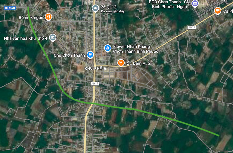
3. Phu Rieng Do Road (Ring Road)
The Phu Rieng Do road, also known as the Ring Road, is another important infrastructure project. This road will intersect with AH17 (near Tinh Quang Pagoda), with one end on Provincial Road 749B, and is expected to be approximately 4.7 km long. Upon completion, the road will contribute to creating a complete ring road network for the area.

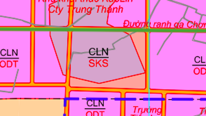
Note: The diagrams in this article are drawn relatively based on the revised land use planning map to 2030 of Chơn Thành town, Bình Phước province. Planning information may change in the future according to decisions of the relevant authorities.
Source: https://baolamdong.vn/quy-hoach-chon-thanh-3-tuyen-duong-lon-se-duoc-mo-tai-trung-tam-410063.html


Comment (0)