
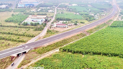
Overview of Long Cang commune infrastructure planning
According to the adjusted land use planning map for the period 2021 - 2030 of Can Duoc district, Long An province, Long Cang commune is oriented to develop many important traffic infrastructure projects. Notably, the plan to open two new arterial roads to strengthen regional connectivity and promote socio-economic development is outstanding.

Below are details of two notable routes to be implemented in Long Cang commune in the coming period.
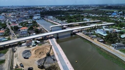
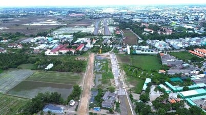
1. Provincial Road 830E
This is one of the major transport infrastructure projects in the area. According to the plan, Provincial Road 830E passing through Long Cang commune has a total length of about 6.7 km. The route starts at Rach Chanh river and ends near Phuoc Linh pagoda.

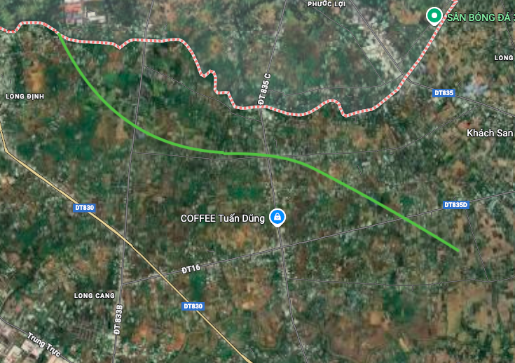
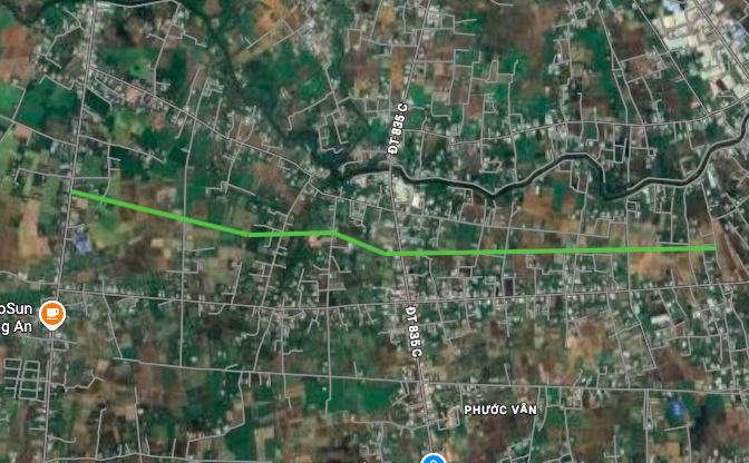
2. Northern traffic axis route
The second route is the northern traffic axis, planned to run almost parallel to the existing Long Khe - Phuoc Van road. Within Long Cang commune, this route is about 3.9 km long. The starting point of the route is at Provincial Road 833B.

Note on planning information
The diagrams in the article are presented relatively based on the Land Use Planning Adjustment Map for the period 2021 - 2030 of Can Duoc district, Long An province. Detailed planning information may change in the future according to adjustment decisions of competent state agencies.
Source: https://baolamdong.vn/quy-hoach-hai-tuyen-duong-trong-diem-tai-xa-long-cang-long-an-408390.html
![[Photo] 60th Anniversary of the Founding of the Vietnam Association of Photographic Artists](/_next/image?url=https%3A%2F%2Fvphoto.vietnam.vn%2Fthumb%2F1200x675%2Fvietnam%2Fresource%2FIMAGE%2F2025%2F12%2F05%2F1764935864512_a1-bnd-0841-9740-jpg.webp&w=3840&q=75)


![[Photo] Cat Ba - Green island paradise](/_next/image?url=https%3A%2F%2Fvphoto.vietnam.vn%2Fthumb%2F1200x675%2Fvietnam%2Fresource%2FIMAGE%2F2025%2F12%2F04%2F1764821844074_ndo_br_1-dcbthienduongxanh638-jpg.webp&w=3840&q=75)


Comment (0)