
Overview of Thanh Hoa commune infrastructure planning
According to the adjusted land use planning map for the period 2021 - 2030 of Thanh Hoa commune, Tay Ninh province, there will be a number of new traffic routes deployed to complete the regional infrastructure network. These routes are expected to enhance connectivity and promote local socio -economic development.

Key routes according to planning
Below is detailed information about 3 notable routes that will be opened in Thanh Hoa commune in the near future.
1. Route parallel to National Highway 62
This route is planned to run parallel to National Highway 62, with a length of about 10.4 km within Thanh Hoa commune. The starting point of the route is located at Provincial Road 836B. When completed, this project will create a new traffic axis, helping to reduce the load on the existing National Highway 62.
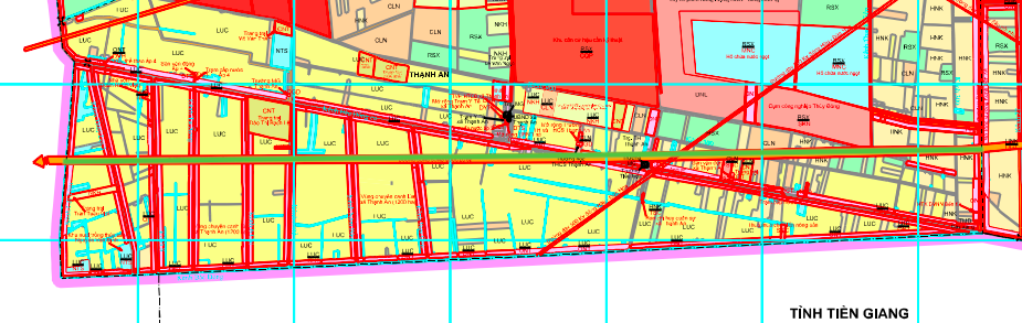

2. Route connecting National Highway 62 and Highway 02
This is another important route with a length of about 10.2 km. The route starts at the intersection of National Highway 62 and Highway 02 (Eastern North-South Expressway). The formation of this route will enhance the direct connection between the national and regional transport networks.
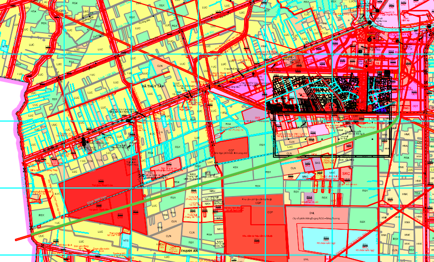

3. Branch route from National Highway 62
A shorter route, approximately 2.6 km long, is also planned. The route starts at Highway 62, near Pho Huong Pagoda. This route mainly serves the travel needs of local residents, connecting residential areas with the main road.


Note: The information in the article is for reference only, based on the Land Use Planning Adjustment Map for the period 2021 - 2030 of the old Thanh Hoa district. The actual planning may be adjusted by the competent state agency.
Source: https://baolamdong.vn/quy-hoach-3-tuyen-duong-moi-tai-xa-thanh-hoa-tay-ninh-408382.html


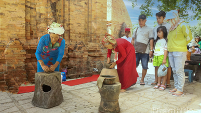
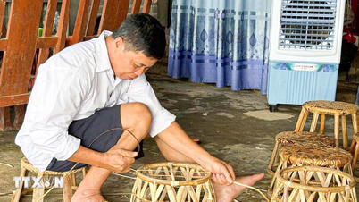
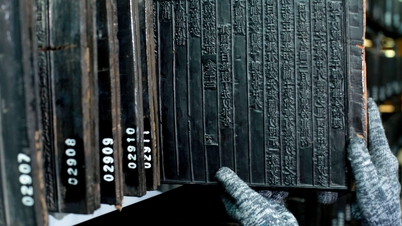
![[Photo] 60th Anniversary of the Founding of the Vietnam Association of Photographic Artists](/_next/image?url=https%3A%2F%2Fvphoto.vietnam.vn%2Fthumb%2F1200x675%2Fvietnam%2Fresource%2FIMAGE%2F2025%2F12%2F05%2F1764935864512_a1-bnd-0841-9740-jpg.webp&w=3840&q=75)
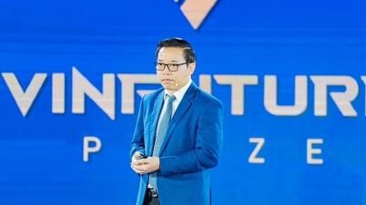
![[Photo] National Assembly Chairman Tran Thanh Man attends the VinFuture 2025 Award Ceremony](/_next/image?url=https%3A%2F%2Fvphoto.vietnam.vn%2Fthumb%2F1200x675%2Fvietnam%2Fresource%2FIMAGE%2F2025%2F12%2F05%2F1764951162416_2628509768338816493-6995-jpg.webp&w=3840&q=75)


Comment (0)