
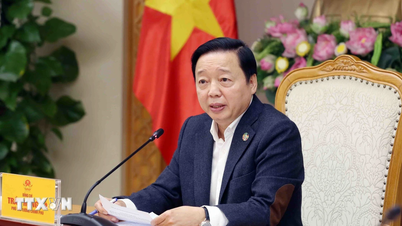
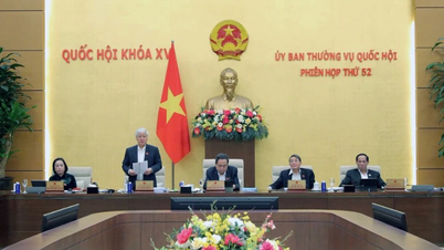
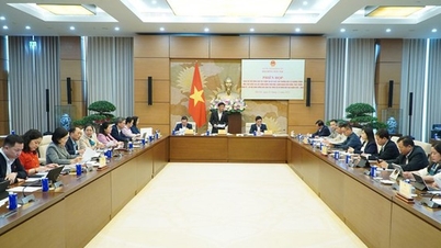
On the morning of December 3, at the Government Headquarters, Deputy Prime Minister Tran Hong Ha chaired a meeting to give opinions on the content of the draft Decree replacing Decree No. 03/2019/ND-CP on remote sensing activities.
Proposal for grouping remote sensing data management mechanisms
According to the report of the Ministry of Agriculture and Environment , Decree No. 03/2019/ND-CP has initially created a legal corridor to manage and promote the development of remote sensing technology, exploiting and using space to serve the monitoring, supervision, management of agriculture, environment, socio-economic development and ensuring national defense and security.
However, in practice, the management of remote sensing activities still reveals some major limitations. Some concepts of remote sensing such as remote sensing data and remote sensing products are no longer suitable for practice and are not consistent with the definitions of remote sensing in international documents. Remote sensing databases lack connectivity due to the lack of mandatory regulations on data connection and sharing.
The new Decree needs to supplement specific regulations on the application of remote sensing in practice; at the same time, orient, encourage and promote the application of remote sensing technology in agricultural monitoring, resource and environmental management and serving socio-economic development, ensuring national defense and security; make the most of data and technology potential; supplement regulations on prioritized scientific and technological activities in the field of remote sensing...
The new Decree on remote sensing activities also stipulates for many organizations and individuals participating in remote sensing activities including: building infrastructure for collecting remote sensing data, providing remote sensing data, and applying remote sensing.
At the meeting, representatives of several ministries and branches assessed that amending and replacing Decree No. 03/2019/ND-CP is necessary to keep up with the rapid development of remote sensing technology and expand the application space of remote sensing data in state management, socio-economics and national security and defense.
Some opinions say that the concept of "remote sensing" is not only satellite images but also includes data collected from many means such as aircraft, UAVs, and ground equipment. Therefore, if the Decree regulates remote sensing activities, the content must cover all of these activities. If it only regulates remote sensing activities from collecting satellite image data, it is necessary to consider the appropriate name.
In addition, some delegates recommended that the Ministry of Natural Resources and Environment should review to ensure consistency between the draft Decree and the Law on Surveying and Mapping as well as the Decree on digital data management, which stipulates that remote sensing data is "shared data." The revised Decree ensures consistency in management models, connection-sharing mechanisms, avoids creating additional procedural layers, avoids spreading and duplication of investment, and overcomes the situation where each unit keeps its own data and has little connection.
The leader of the Military Industry-Telecoms Group (Viettel) proposed that the remote sensing data management mechanism should be divided into groups: Data group invested by the State, especially satellite data serving national defense, security, and disaster prevention strategies; data group collected by private enterprises, which can be deployed by UAVs, aircraft, or vehicles with sensors. The Ministry of Agriculture and Environment continues to preside over state management of surveying, mapping, and remote sensing, including satellite data and other acquisition methods.
Agreeing with this opinion, the Vietnam Posts and Telecommunications Group (VNPT) requested to add regulations on ensuring information security for remote sensing data - an "extremely important" factor, especially for high-level, sensitive data; adding areas of remote sensing data application such as monitoring land use status, land changes, serving national digital transformation and spatial data infrastructure.
Full awareness, thorough investment
According to Deputy Prime Minister Tran Hong Ha, remote sensing has now become an important means and tool for space research, especially Earth research, and is applied in almost all fields. Therefore, when building the Law on Surveying and Mapping, Vietnam for the first time established a legal basis for this activity.
Remote sensing activities in Vietnam need to be fully recognized and invested in throughout, not only in machinery and equipment but also in people and research institutes, to create secondary products serving the socio-economy and national defense and security.
Up to now, Vietnam still does not have a complete legal framework for the field of remote sensing activities and remote sensing data, "even the concept and perception of remote sensing are not comprehensive and systematic like the international one."
The content of the draft Decree currently only manages surveying and mapping activities using remote sensing images from satellites, while current technology has expanded the collection of remote sensing data using many types of sensors from radar waves, electronic signals, gravity variation signals... to unmanned aerial vehicles (UAVs), airplanes, cars with cameras...
From that reality, the Deputy Prime Minister requested the Ministry of Natural Resources and Environment to absorb the opinions at the meeting, continue to review and complete the draft Decree on remote sensing activities in two directions.
The Decree only regulates remote sensing activities using remote sensing image data collected from satellites, according to Articles 14 and 16 of the Law on Surveying and Mapping, so the scope of regulation will be very narrow.
Develop a new decree regulating remote sensing activities with a wide scope, not yet regulated in the Law on Surveying and Mapping, but covering the entire process from collecting, exploiting, using to managing remote sensing data and infrastructure, including receiving stations, satellite stations, means of receiving from aircraft, UAVs to ground equipment.
The Deputy Prime Minister requested the Ministry of Natural Resources and Environment to preside over, with the participation of the Ministry of Science and Technology, the Ministry of National Defense, the Ministry of Public Security, the Ministry of Justice, the Ministry of Finance, the Vietnam Academy of Science and Technology, and enterprises such as VNPT, Viettel and related units, to participate in drafting the decree.
This will be a preparatory step for the development of a law on remote sensing activities in the future, which may include regulations on security, safety, confidentiality and prohibited acts, the Deputy Prime Minister emphasized./.
Source: https://www.vietnamplus.vn/viet-nam-chua-co-khung-phap-ly-day-du-cho-linh-vuc-hoat-dong-vien-tham-post1080722.vnp


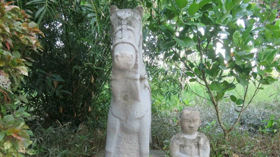
![[Photo] Worshiping the Tuyet Son statue - a nearly 400-year-old treasure at Keo Pagoda](/_next/image?url=https%3A%2F%2Fvphoto.vietnam.vn%2Fthumb%2F1200x675%2Fvietnam%2Fresource%2FIMAGE%2F2025%2F12%2F02%2F1764679323086_ndo_br_tempimageomw0hi-4884-jpg.webp&w=3840&q=75)

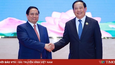
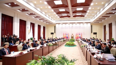
![[Photo] Parade to celebrate the 50th anniversary of Laos' National Day](/_next/image?url=https%3A%2F%2Fvphoto.vietnam.vn%2Fthumb%2F1200x675%2Fvietnam%2Fresource%2FIMAGE%2F2025%2F12%2F02%2F1764691918289_ndo_br_0-jpg.webp&w=3840&q=75)


Comment (0)