
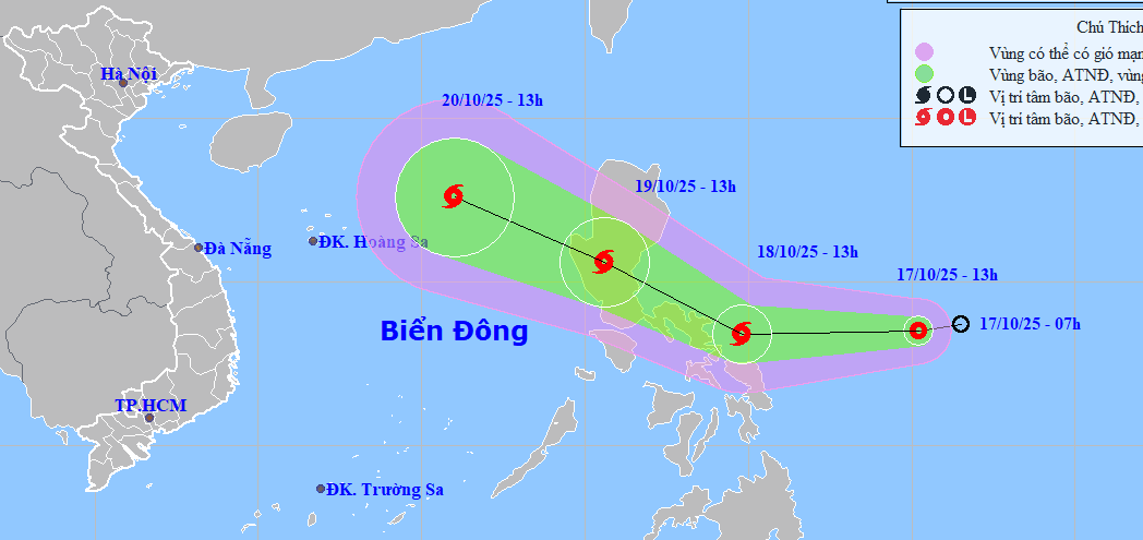
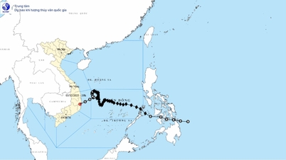
The storm is moving mainly in the west-northwest direction at a speed of 20-25km/h, entering the East Sea (becoming Vietnam's 12th storm in 2025) and is likely to strengthen.
Due to the storm's influence, from October 19, in the eastern area of the northern East Sea, winds will gradually increase to level 6-7, near the storm's center, level 8, gusting to level 10, waves 2.5-4.5m high, rough seas.
From October 20 to 22, the northern East Sea (including Hoang Sa special zone) is likely to be affected by strong winds of level 9-11, gusting to level 14. Ships operating in the above dangerous areas are likely to be affected by storms, whirlwinds, strong winds, and large waves.
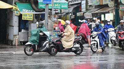
In addition, currently, in the north, there is a cold air mass moving southward. This cold air mass is expected to strengthen in the coming days, clearly affecting the weather in the Northern and North Central regions.
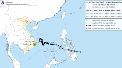
In Official Dispatch No. 1080 dated October 16, 2025, the Department of Hydrometeorology ( Ministry of Agriculture and Environment ) stated that at the time the storm moves into the East Sea, there will be the appearance of cold air moving from the north down, so there is a possibility that the storm will weaken at sea.
From the night of October 18, the Northern region began to be affected by cold air, which will then strengthen during the days from October 20 to 25, so it will be cold at night and in the morning, and mountainous areas may become cold.
In the Gulf of Tonkin, from October 20, the northeast wind is likely to strengthen to level 6-7, gusting to level 8, waves 2-4m high, and rough seas.
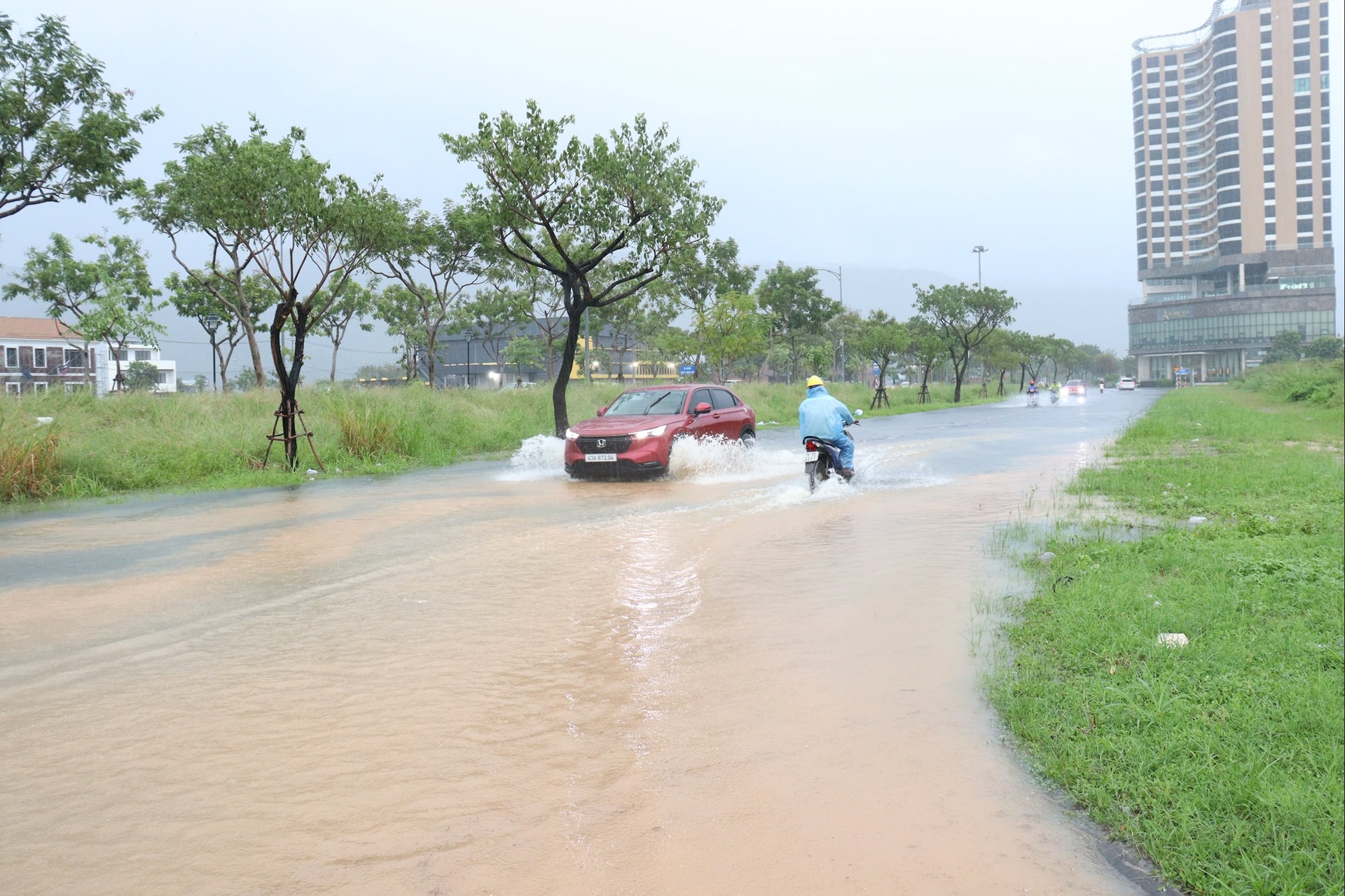
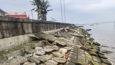
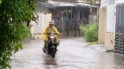
From now until October 18, in the area from Quang Tri to Quang Ngai, there will be moderate rain, heavy rain and thunderstorms, locally very heavy rain. From October 19, moderate rain, locally heavy rain will continue.
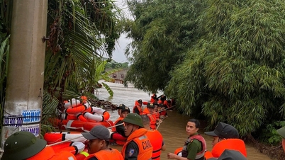
Particularly during the period from October 23 to 26, provinces and cities in the Central region will be affected by a combination of cold air patterns combined with high-altitude easterly wind disturbances combined with terrain features that can cause heavy rain and floods in river basins from Ha Tinh to Quang Ngai.
Source: https://baodanang.vn/ap-thap-nhiet-doi-co-kha-nang-manh-len-thanh-bao-so-12-gay-mua-lon-o-mien-trung-3306598.html


![[Photo] Cat Ba - Green island paradise](/_next/image?url=https%3A%2F%2Fvphoto.vietnam.vn%2Fthumb%2F1200x675%2Fvietnam%2Fresource%2FIMAGE%2F2025%2F12%2F04%2F1764821844074_ndo_br_1-dcbthienduongxanh638-jpg.webp&w=3840&q=75)


Comment (0)