
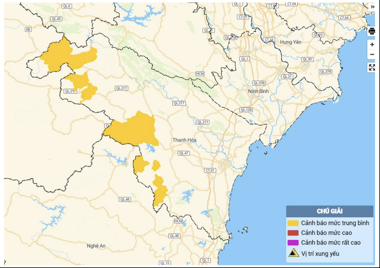
Map showing the risk of flash floods and landslides in various areas of Thanh Hoa province.
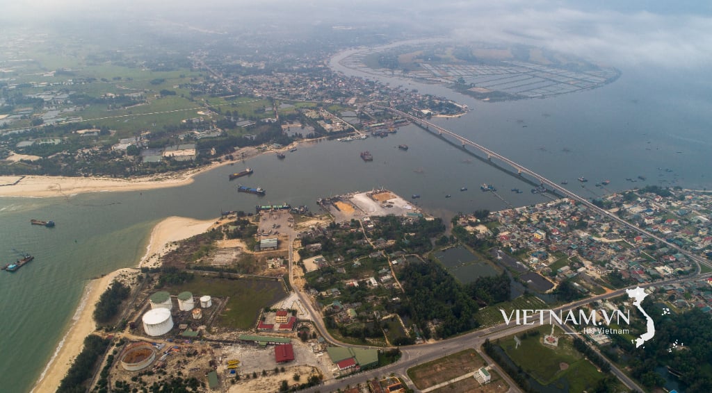
From 4 PM to 6 PM on July 6th, Thanh Hoa province experienced moderate to heavy rainfall in some areas. Soil moisture models indicate that some areas are near saturation (over 85%) or have reached saturation.
Warning: Over the next 3-6 hours, Thanh Hoa province will continue to experience rain with accumulated rainfall generally ranging from 20-40mm, and in some areas exceeding 70mm.
Over the next 6 hours, there is a risk of flash floods on small rivers and streams, and landslides on slopes, especially in the following communes and wards: Bat Mot, Giao An, Hien Kiet, Linh Son, Luong Son, Muong Lat, Nhi Son, Pu Nhi, Son Dien, Son Thuy, Tam Chung, Thang Loc, Thanh Phong, Thanh Quan, Trung Ly, Xuan Chinh, and Yen Nhan.
Level of natural disaster risk due to flash floods, landslides, and land subsidence caused by rain or runoff: Level 1.
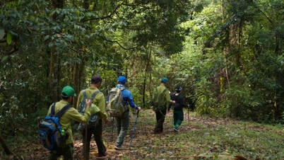
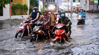
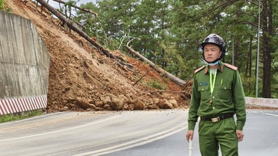
Meteorological agencies warn that flash floods and landslides can have adverse impacts on the environment, threaten people's lives; cause localized traffic congestion, affecting the movement of vehicles; destroy public and economic infrastructure, causing damage to production and socio-economic activities.
NDS
Source: https://baothanhhoa.vn/canh-bao-lu-quet-sat-lo-dat-khu-vuc-mien-nui-tinh-thanh-hoa-254157.htm
![[Photo] Closing Ceremony of the 10th Session of the 15th National Assembly](/_next/image?url=https%3A%2F%2Fvphoto.vietnam.vn%2Fthumb%2F1200x675%2Fvietnam%2Fresource%2FIMAGE%2F2025%2F12%2F11%2F1765448959967_image-1437-jpg.webp&w=3840&q=75)


![[Photo] Prime Minister Pham Minh Chinh holds a phone call with the CEO of Russia's Rosatom Corporation.](/_next/image?url=https%3A%2F%2Fvphoto.vietnam.vn%2Fthumb%2F1200x675%2Fvietnam%2Fresource%2FIMAGE%2F2025%2F12%2F11%2F1765464552365_dsc-5295-jpg.webp&w=3840&q=75)


![[OFFICIAL] MISA GROUP ANNOUNCES ITS PIONEERING BRAND POSITIONING IN BUILDING AGENTIC AI FOR BUSINESSES, HOUSEHOLDS, AND THE GOVERNMENT](https://vphoto.vietnam.vn/thumb/402x226/vietnam/resource/IMAGE/2025/12/11/1765444754256_agentic-ai_postfb-scaled.png)


Comment (0)