
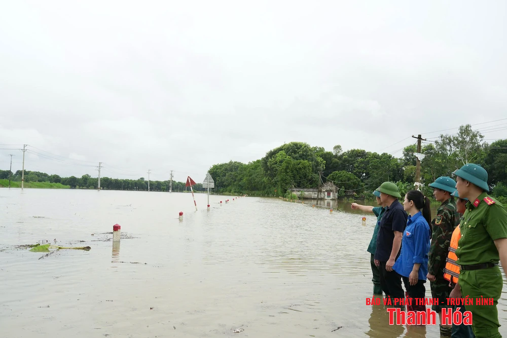
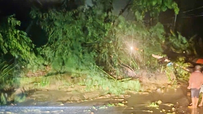
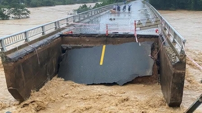
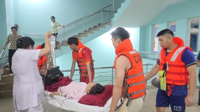
The flooded road is about 1,200m long, 80cm deep in some places.
According to records, the flooded road is about 1,200m long, the water level measured at the highest point is up to about 80cm. Many vehicles cannot circulate, the risk of traffic safety is at a high level.
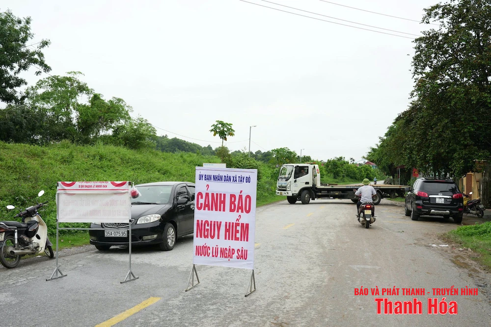
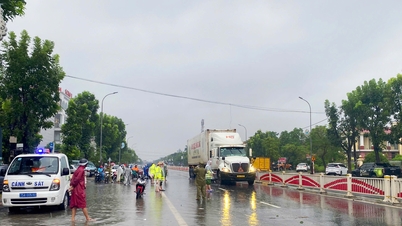
Authorities have placed barriers and warning signs at both ends of the flooded area.
Faced with the above situation, Tay Do commune authorities quickly mobilized the commune police force, militia and youth union to work 24/7 at the beginning and end of the flooded area.
Authorities have placed barricades, warning signs and strictly prohibited people and vehicles from passing through to ensure the safety of life and property.
Tay Do Commune People's Committee recommends that people and vehicles proactively choose alternative routes and absolutely do not intentionally go through flooded areas.
Currently, local authorities are closely monitoring the flood situation, coordinating with higher authorities to have timely solutions to ensure smooth traffic again.
To Ha and collaborator Le Thu
Source: https://baothanhhoa.vn/quoc-lo-45-doan-qua-xa-tay-do-bi-ngap-sau-cam-nguoi-va-phuong-tien-qua-lai-259720.htm

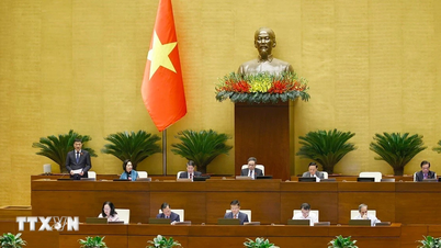
![[Photo] National Assembly Chairman Tran Thanh Man received a delegation of the Social Democratic Party of Germany](https://vphoto.vietnam.vn/thumb/1200x675/vietnam/resource/IMAGE/2025/10/28/1761652150406_ndo_br_cover-3345-jpg.webp)
![[Photo] Flooding on the right side of the gate, entrance to Hue Citadel](https://vphoto.vietnam.vn/thumb/1200x675/vietnam/resource/IMAGE/2025/10/28/1761660788143_ndo_br_gen-h-z7165069467254-74c71c36d0cb396744b678cec80552f0-2-jpg.webp)


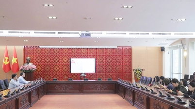
![[Photo] Prime Minister Pham Minh Chinh chaired a meeting to discuss solutions to overcome the consequences of floods in the central provinces.](https://vphoto.vietnam.vn/thumb/1200x675/vietnam/resource/IMAGE/2025/10/29/1761716305524_dsc-7735-jpg.webp)


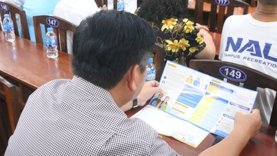


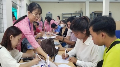
![[Photo] Draft documents of the 14th Party Congress reach people at the Commune Cultural Post Offices](https://vphoto.vietnam.vn/thumb/1200x675/vietnam/resource/IMAGE/2025/10/28/1761642182616_du-thao-tai-tinh-hung-yen-4070-5235-jpg.webp)
![[Photo] President Luong Cuong attends the 80th Anniversary of the Traditional Day of the Armed Forces of Military Region 3](https://vphoto.vietnam.vn/thumb/1200x675/vietnam/resource/IMAGE/2025/10/28/1761635584312_ndo_br_1-jpg.webp)


Comment (0)