
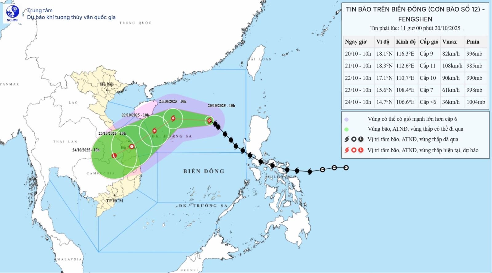
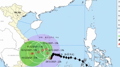
Accordingly, at 10:00 a.m. on October 20, the center of the storm was at about 18.1 degrees North latitude; 116.3 degrees East longitude, about 460km East Northeast of Hoang Sa special zone. The strongest wind near the center of the storm was level 9 (75-88km/h), gusting to level 11. Moving northwest at a speed of 20-25km/h.
Forecast by 10:00 on October 21, the storm is about 180 km north of Hoang Sa special zone, with strong winds of level 11, gusts of level 13, moving west at a speed of about 15 km/h and likely to strengthen. The affected area is the North East Sea (including Hoang Sa special zone). Disaster risk level 3.
At 10:00 on October 22, the storm was in the sea northwest of Hoang Sa special zone, with strong winds of level 9-10, gusting to level 12, moving southwest at a speed of about 10 km/h and likely to weaken. The affected area is the sea west of the North East Sea (including Hoang Sa special zone), the sea from South Quang Tri to Quang Ngai . Natural disaster risk level 3.
By 10:00 on October 23, the storm on the mainland from Da Nang city to Quang Ngai, with strong winds of level 7, gusts of level 9, moving southwest at a speed of about 10-15 km/h and likely to gradually weaken into a tropical depression. The affected area is the western sea area of the North East Sea (including Hoang Sa special zone), the sea area from South Quang Tri to Quang Ngai (including Ly Son special zone). Natural disaster risk level 3.
From the next 72 to 96 hours, the tropical depression will move mainly in the southwest direction, about 10km per hour and gradually weaken into a low pressure area.
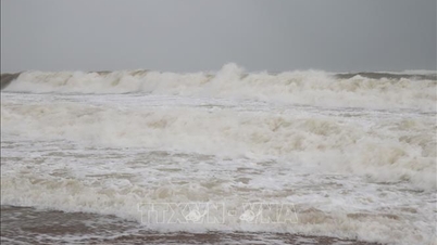
Due to the impact of the storm, the North East Sea area (including Hoang Sa special zone) has strong winds of level 7-8; the area near the storm's eye has strong winds of level 9-11, gusting to level 13; waves 3-5m high, the area near the storm's eye has waves of 5-7m high, and the sea is very rough.
All ships and boats operating in the above mentioned dangerous areas are susceptible to the impact of storms, whirlwinds, strong winds and large waves.
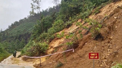
On land, due to the influence of storm circulation and cold air combined with East wind disturbances, topographic effects and East wind after the storm, from October 22 to 27, the area from Ha Tinh to Quang Ngai is likely to have widespread heavy rain, lasting for many days, with some areas having very heavy rain, high risk of flash floods and landslides in mountainous areas, flooding in low-lying areas and urban areas. Localities need to pay attention to the safe operation of hydroelectric and irrigation reservoirs before, during and after the storm, and prepare response plans for flood scenarios on rivers from Quang Tri to Quang Ngai that may rise to alert level 3 and exceed alert level 3. Forecast of natural disaster risk level due to floods and inundations at level 3.
Source: https://baotintuc.vn/xa-hoi/bao-so-12-tiep-tuc-doi-huong-voi-suc-gio-rat-manh-20251020121825104.htm


![[Photo] 60th Anniversary of the Founding of the Vietnam Association of Photographic Artists](/_next/image?url=https%3A%2F%2Fvphoto.vietnam.vn%2Fthumb%2F1200x675%2Fvietnam%2Fresource%2FIMAGE%2F2025%2F12%2F05%2F1764935864512_a1-bnd-0841-9740-jpg.webp&w=3840&q=75)

![[Photo] National Assembly Chairman Tran Thanh Man attends the VinFuture 2025 Award Ceremony](/_next/image?url=https%3A%2F%2Fvphoto.vietnam.vn%2Fthumb%2F1200x675%2Fvietnam%2Fresource%2FIMAGE%2F2025%2F12%2F05%2F1764951162416_2628509768338816493-6995-jpg.webp&w=3840&q=75)


Comment (0)