
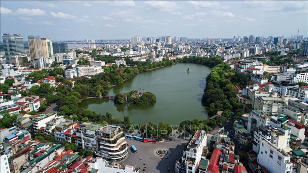
A section of the administrative boundaries of Hoan Kiem District, Hanoi . Photo: Thanh Dat/TTXVN
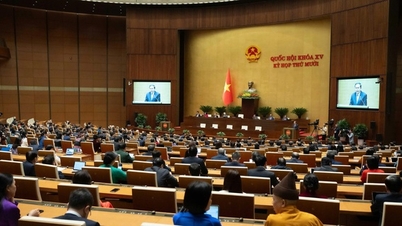
Immediately after the Hanoi City People's Council approved the plan to reorganize 126 communes and wards at the commune level, experts, managers, and citizens expressed that the reorganization plan was implemented cautiously, thoroughly, scientifically, with appropriate and strict methods, complying with the law, and ensuring overall consistency and uniformity within the political system. In particular, most people believe that the reorganization of commune-level administrative units has expanded Hanoi's development space in an era of national progress.
Creating a space for integrated development
Throughout thousands of years of history, the Red River has been the lifeblood, witnessing countless changes and developments of Thang Long - Hanoi, and now the capital city of Hanoi. The land along both banks of the Red River has gradually formed with distinctive topography, landscapes, and resources, possessing immense potential for economic and social development. However, in recent years, due to fragmented administrative boundaries and overlapping management, especially in areas bordering different wards, violations of construction and social order have occurred; more importantly, land abandonment has resulted in the waste of resources for the capital's development.
For example, in the riverside areas of the Red River in wards such as Ngoc Thuy (Long Bien district) and Nhat Tan (Tay Ho district), violations of construction regulations, urban order, and environmental sanitation still persist. Therefore, the consolidation of residential areas and natural spaces along the Red River into Hong Ha ward (a new ward), in accordance with the policy recently approved by the Hanoi City People's Council, has realized the aspiration to create a new development space for this area. Clearly, the Red River is no longer a dividing boundary, but has become a connecting "red thread," the center of a new, dynamic, and potentially rich urban space.
Specifically, Hong Ha ward was established by merging the entire natural area and population of the following wards: Phuc Tan, Chuong Duong (Hoan Kiem district), Phuc Xa (Ba Dinh district); most of the natural area and population of the following wards: Nhat Tan, Tu Lien, Yen Phu (Tay Ho district), Thanh Luong, Bach Dang (Hai Ba Trung district); a portion of the natural area and population of the following wards: Phu Thuong, Quang An (Tay Ho district); and a portion of the natural area (including the water surface and sandbars in the Red River) of the following wards: Ngoc Thuy, Bo De (Long Bien district). The new Hong Ha ward has a natural area of over 15 km2 and a population of nearly 123,300 people.
Architect Tran Ngoc Chinh, President of the Vietnam Urban Planning and Development Association, stated: "In the zoning plan along both sides of the Red River, we have two very important transportation axes. I think the management of the urban system or urban management at the ward level is one of the best opportunities for us to manage, develop, and invest in a synchronized manner."
According to Tran Dinh Canh, Director of the Hanoi Department of Internal Affairs, rearranging administrative units is not simply about administrative boundaries, but more importantly, about creating new spaces and momentum for development; and at the same time, thoroughly addressing current limitations and shortcomings in practice.
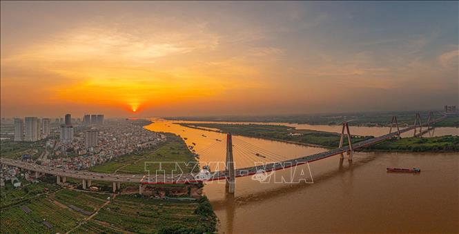
The Nhat Tan Bridge is a unique symbol of Hanoi, the capital city. Photo: Pham Tuan Anh/TTXVN
Many residents in the wards of Nhat Tan (Tay Ho district), Chuong Duong (Hoan Kiem district), Phuc Xa (Ba Dinh district), and Bach Dang (Hai Ba Trung district) expressed their joy that the establishment of Hong Ha ward will not only expand the development space in terms of culture but also in terms of economy and society.
Mr. Doan Kien Dinh, from Phuc Xa ward (Long Bien district), a flower grower at the foot of Long Bien bridge, hopes that after the area is reorganized into a new ward, the flowers will spread along both banks of the river, instead of just a very small area as they are now; at the same time, creating a new development space and exploiting the scenic value of the Red River area and at the foot of the historic Long Bien bridge.
Nguyen The Anh, from Nhat Tan ward (Tay Ho district), believes that the establishment of Hong Ha ward is a vivid example of groundbreaking planning thinking, placing natural geographical factors and vital transportation arteries as the foundation for development. According to the plan approved by the City People's Council, the administrative center of Hong Ha ward has a favorable geographical location and synchronized economic and social infrastructure, especially the connectivity of the transportation system between the administrative unit's headquarters and the residential community. The boundaries of Hong Ha ward with neighboring wards and communes follow major roads, streets, and the Red River, making them easily identifiable on the ground and facilitating management by the local government.
Ensuring continuity, long-term vision
Based on clear and scientific principles and guidelines, the Hanoi City People's Council has approved the plan to reorganize the city's commune-level administrative units, resulting in 126 communes and wards. Accordingly, the proposed commune-level administrative units ensure a harmonious balance between continuity and stability with innovation and development, and a long-term vision. At the same time, the scale of the new commune-level administrative units ensures that they are appropriate to the management and governance capabilities and the skills and qualifications of local officials and civil servants, creating a foundation for maximizing the potential and advantages, expanding the development space of localities, and meeting the goals and requirements of the socio-economic development strategy of the Capital City in the new period.
Based on public opinion, the Chairwoman of the Vietnam Fatherland Front Committee of Hanoi, Nguyen Lan Huong, affirmed that Hanoi has effectively implemented the principle of democratic centralism, and the people have truly been placed in the position of the main actors. Officials in the political system have all participated responsibly. The city has also anticipated the impact factors and proactively implemented solutions, creating peace of mind for citizens and businesses during the administrative unit restructuring. Notably, the naming of the new communes and wards based on cultural and historical place names, while retaining the names of the districts and counties, is a systematic, scientific, democratic approach that is in line with the people's wishes.

The alluvial plain of the Red River lies beneath the Long Bien Bridge. Photo: Khanh Hoa/TTXVN
Nguyen Van An, Secretary of the Party Committee of Dong Ngac Ward (Bac Tu Liem District), shared that Dong Ngac, also known as Lang Ve, was a famous scholarly village in Hanoi. Naming the new administrative unit Dong Ngac (based on merging the natural area and population of Duc Thang Ward and most of Dong Ngac, Co Nhue, and parts of Xuan Dinh, Thuy Phuong, and Minh Khai wards) ensures the preservation of historical and cultural traditions; it aligns with the principle of prioritizing the use of one of the names of the administrative units before the merger to name the new commune or ward, minimizing the impact on residents and businesses due to the need to change documents.
Experts believe that the reorganization of commune-level administrative units in the city by 2025 will contribute to perfecting the institutional framework for administrative units, ensuring effective and efficient operation; leveraging all resources to promote socio-economic development and improve people's lives; guaranteeing national defense and security; maintaining political stability and social order and safety; and ensuring the development goals of the capital city. For example, areas of significant political, military, historical, and cultural importance such as Ba Dinh, Co Loa, Son Tay, Van Mieu - Quoc Tu Giam, Thang Long Imperial Citadel, Hoan Kiem... have been preserved in Hanoi's plan for reorganizing its grassroots administrative units.
For example, the area surrounding West Lake, previously managed by multiple wards, will now be entirely under the administrative boundaries of Tay Ho ward after the reorganization. The Old Quarter, preserving the historical imprint of Thang Long - Hanoi, will also be placed entirely within Hoan Kiem ward, ensuring unity. Furthermore, the spaces of typical traditional craft villages such as Bat Trang and Van Phuc have been carefully considered to ensure consistency and prevent fragmentation, which could negatively impact management, construction, and development. Therefore, this administrative reorganization plan presents a transformative opportunity for localities, overcoming limitations while opening up new development opportunities.
According to the Hanoi People's Committee, the results of the implementation process show that the plan for rearranging commune-level administrative units in the city has received high levels of attention, support, and consensus from the people of Hanoi. Specifically, the plan for rearranging commune-level administrative units received 2,010,914 votes in favor, while the opinions of household voters regarding the proposed names of the rearranged units received 1,987,829 votes in favor, corresponding to 97.36% and 96.28% of the ballots cast, respectively. It can be affirmed that these results demonstrate the high level of consensus and agreement of the people with the plan for rearranging commune-level administrative units in the city in 2025.
Nguyen Thang (VNA)
Source: https://baotintuc.vn/ha-noi/kien-tao-khong-gian-phat-trien-thu-do-ha-noi-xung-tam-trong-ky-nguyen-moi-20250507133700251.htm


![[OFFICIAL] MISA GROUP ANNOUNCES ITS PIONEERING BRAND POSITIONING IN BUILDING AGENTIC AI FOR BUSINESSES, HOUSEHOLDS, AND THE GOVERNMENT](https://vphoto.vietnam.vn/thumb/402x226/vietnam/resource/IMAGE/2025/12/11/1765444754256_agentic-ai_postfb-scaled.png)


Comment (0)